Digitasi Peta Melalui Arcview 3.3
Summary
TLDRIn this educational video, Hermon Rinjani demonstrates the process of digitizing paper maps into digital format for spatial databases. He walks viewers through the essential steps using GIS software (ArcView), starting from creating a project folder, importing a thematic map, and setting up a new theme for digitization. The video focuses on digitizing map features, such as the boundaries of Barito Kuala, using polygon tools. The tutorial is designed to help students and viewers understand the basic concepts and tools of map digitization, with practical steps for converting physical maps into spatial data.
Takeaways
- 😀 The video introduces spatial database systems with a focus on map digitization, where a paper map is converted into a digital format.
- 😀 Digitization involves using a digitizing tablet connected to a computer to track map objects, which are then stored as spatial data.
- 😀 Spatial data obtained through digitization can be used to add new themes to existing maps or create new thematic layers for regions without digital data.
- 😀 The process of digitization begins by creating a project folder and preparing the map in a bitmap format, such as the thematic map of Kalimantan Selatan.
- 😀 The thematic map file is copied into the project folder, and the project is opened in GIS software, ArcView, to begin the digitization process.
- 😀 The project settings are adjusted by changing the map's coordinate system to decimal degrees and the units to kilometers for accurate mapping.
- 😀 Once the map is loaded into ArcView, the map's bitmap format is converted to an image format supported by the software for easier digitization.
- 😀 A new, empty thematic layer is created to digitize the map, which is saved in the project folder as a shapefile for further processing.
- 😀 Polygon tools are used to trace and digitize the boundaries of the Barito Kuala district on the map, with careful attention to follow the map's lines accurately.
- 😀 After completing the polygon tracing, the result is saved and can be used as part of the final spatial data for analysis and map creation.
Q & A
What is the main topic of the video?
-The main topic of the video is the digitization of maps, specifically focusing on spatial database systems and the steps involved in digitizing a thematic map.
What is digitization in the context of maps?
-Digitization in the context of maps is the process of converting physical map objects into a digital format, which can be done using a digitizing tablet connected to a computer.
What equipment is used for map digitization?
-A digitizing tablet connected to a computer is used for map digitization. This device helps trace objects on a physical map, and the coordinates are recorded as spatial data.
Why is map digitization important?
-Map digitization allows the transfer of data from physical maps into digital formats, enabling the addition of new themes, layers, or geographic data into a digital map for further analysis or display.
What steps are involved in preparing for map digitization?
-First, you create a folder for your project, then gather and prepare the thematic map you want to digitize. In this case, a bitmap map of Kalimantan Selatan is used, which is copied into the project folder.
What is the role of ArcView in the digitization process?
-ArcView is a GIS application used to manage and visualize geographic data. It is used in this process to load the thematic map, configure the map properties, and add a new layer for digitization.
What should be done before importing a map theme into ArcView?
-Before importing a map theme into ArcView, you need to adjust the file extensions in the project settings to allow for bitmap files. This ensures that the map file is compatible and can be displayed properly.
How do you create a new theme for digitization in ArcView?
-To create a new theme, go to the 'View' menu in ArcView, select 'New Theme', and choose the data type (point, line, or polygon). Then, save the theme in the project folder.
What kind of data is used for digitization in the example?
-In the example, the data used for digitization is a bitmap image of a thematic map of Kalimantan Selatan, which is imported into ArcView as a reference for creating new spatial data.
What tool is used to draw polygons during the digitization process?
-The 'Draw Polygon' tool in ArcView is used to create polygons by clicking points along the boundaries of features on the map. This tool helps define the areas you want to digitize.
What happens after a polygon is created during digitization?
-After creating the polygon, you need to double-click to finalize it, which will then be recorded as a part of the spatial data for the digitized map.
Outlines

This section is available to paid users only. Please upgrade to access this part.
Upgrade NowMindmap

This section is available to paid users only. Please upgrade to access this part.
Upgrade NowKeywords

This section is available to paid users only. Please upgrade to access this part.
Upgrade NowHighlights

This section is available to paid users only. Please upgrade to access this part.
Upgrade NowTranscripts

This section is available to paid users only. Please upgrade to access this part.
Upgrade NowBrowse More Related Video

SIG Web #5 - LeafletJS

Pengenalan ArcGIS

UNIT - 5_Mining Objects Spatial Data Mining

Introduction to Karnaugh Maps - Combinational Logic Circuits, Functions, & Truth Tables

INI TOH PETA RENCANA TATA RUANG...
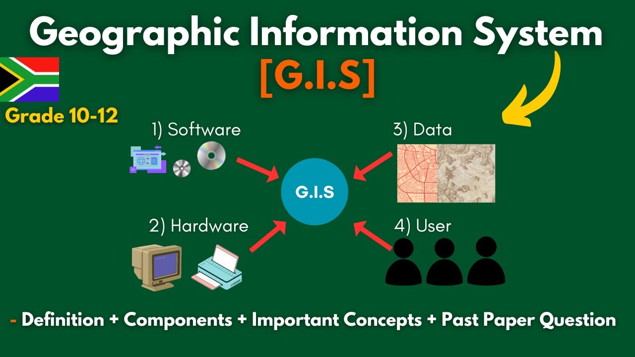
G.I.S (Geographic Information Systems)- Concepts, Components, Advantages + Past Paper | Grade 10-12.
5.0 / 5 (0 votes)