Tectonic Plates
Summary
TLDRThis lesson introduces the concept of tectonic plates, describing the Earth's structure, including its crust, mantle, and core. It explains how the lithosphere, composed of the crust and upper mantle, forms tectonic plates that move across the Earth's surface. The lesson emphasizes the importance of understanding plate boundaries, which are marked by geological activities like earthquakes and volcanoes. Using a map, learners are encouraged to identify and sketch the locations of these boundaries. The video concludes with an overview of the major tectonic plates, such as the Pacific, North American, and Eurasian plates.
Takeaways
- 😀 Earth is constantly moving, even when we sleep or sit still.
- 😀 Tectonic plates are pieces of the Earth's outer shell, made of the crust and uppermost mantle.
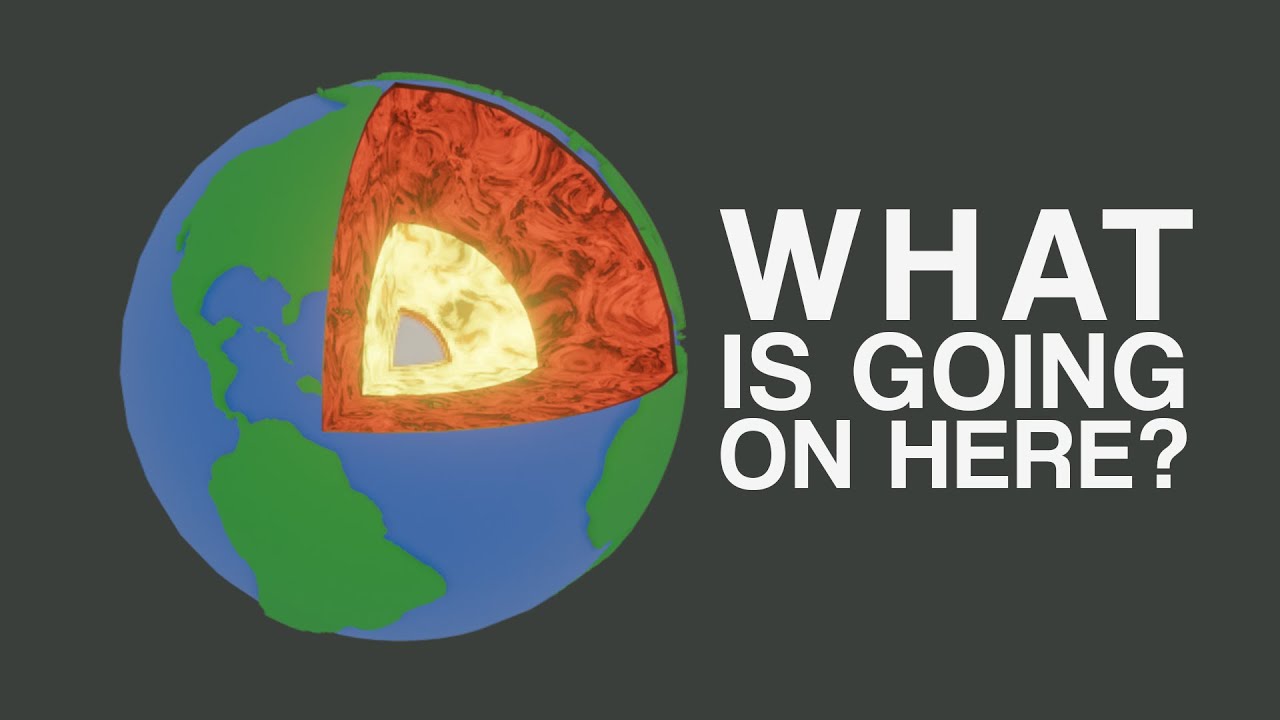
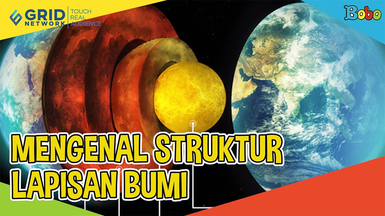
- 😀 The Earth's three main layers are the crust, mantle, and core. The crust is thin compared to the thick mantle below.
- 😀 Tectonic plates float over the asthenosphere, a layer of the upper mantle that allows them to move slowly.
- 😀 Plate tectonics is responsible for geological events like earthquakes, volcanoes, and the formation of mountain ranges.
- 😀 The lithosphere, which makes up the tectonic plates, is rigid and up to hundreds of kilometers thick.
- 😀 Most of the mantle (about 90%) is not involved in tectonic plate movement.
- 😀 Plate boundaries can be identified by earthquake locations, where seismic activity occurs.
- 😀 Major tectonic plates include the Pacific, North American, South American, African, Eurasian, Indian-Australian, and Antarctic plates.
- 😀 Smaller tectonic plates like the Cocos, Caribbean, Scotia, and Philippine plates exist alongside the larger ones.
- 😀 Understanding plate boundaries helps explain the distribution of earthquakes and volcanic activity around the world.
Q & A
What is a tectonic plate?
-A tectonic plate is a rigid, mobile slab of Earth's lithosphere, which includes both the outer layer of the crust and the uppermost part of the mantle. These plates move over the asthenosphere beneath them, leading to geological activity like earthquakes and volcanoes.
What are the three major compositional layers of Earth?
-The three major compositional layers of Earth are the crust, mantle, and core. The crust is the thin outer layer, the mantle is a much thicker layer beneath it, and the core consists of a solid inner core and a molten outer core.
What is the difference between the lithosphere and the asthenosphere?
-The lithosphere is the rigid outer shell of Earth, composed of the crust and the uppermost mantle, whereas the asthenosphere is a more fluid-like layer in the upper mantle that can deform and allows the lithosphere to move over it.
How thick is the Earth's mantle, and what percentage is involved in tectonic plate movement?
-The Earth's mantle is about 2,900 kilometers thick. However, only about 10% of the mantle, specifically the uppermost part, is involved in tectonic plate movement, with the rest not being part of the lithosphere or asthenosphere.
Why is the lithosphere compared to the skin of an orange?
-The lithosphere is compared to the skin of an orange because, like the skin on an orange, it is made up of separate pieces (tectonic plates) that fit together to cover the Earth.
What causes earthquakes, volcanoes, and mountain belts?
-Earthquakes, volcanoes, and mountain belts are primarily caused by the movement of tectonic plates and the interactions at their boundaries, such as subduction, collision, or sliding past one another.
How do earthquakes help in identifying plate boundaries?
-The locations of earthquakes often coincide with tectonic plate boundaries, making them useful in identifying where the plates meet and where geological activity is occurring.
What are some of the major tectonic plates?
-Some of the major tectonic plates include the Pacific, North American, South American, African, Antarctic, Eurasian, Indian-Australian, and Nazca plates.
What are some of the smaller tectonic plates mentioned in the lesson?
-Smaller tectonic plates mentioned include the Cocos, Caribbean, Scotia, Philippine, and Arabian plates.
How does the lesson suggest identifying plate boundaries on a map?
-The lesson suggests using earthquake locations on a map to identify plate boundaries, drawing lines that connect the earthquake points to approximate the locations of tectonic plate boundaries.
Outlines

This section is available to paid users only. Please upgrade to access this part.
Upgrade NowMindmap

This section is available to paid users only. Please upgrade to access this part.
Upgrade NowKeywords

This section is available to paid users only. Please upgrade to access this part.
Upgrade NowHighlights

This section is available to paid users only. Please upgrade to access this part.
Upgrade NowTranscripts

This section is available to paid users only. Please upgrade to access this part.
Upgrade Now


5.0 / 5 (0 votes)