Penelitian Geografi
Summary
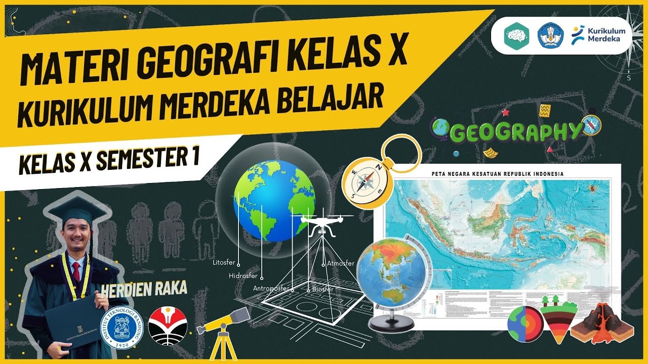
TLDRThe video covers various aspects of environmental and social studies, focusing on geographic instruments to assess physical environments like topography, hydrosphere, and biosphere. It also addresses social instruments used to gauge public awareness on topics like disaster mitigation. The speaker emphasizes data collection methods such as surveys to understand people's knowledge on these topics. The script concludes with a call for questions and engagement in the comment section, promoting further discussion on the topic.
Takeaways
- 😀 The importance of environmental preservation is highlighted, focusing on issues like deforestation and wildlife poaching.
- 🌍 Geographic instruments, such as tools for measuring location, altitude, and topography, are essential for gathering data about physical geography.
- 💧 Instruments also help measure environmental components such as the atmosphere, hydrosphere, biosphere, and lithosphere.
- 🧑🤝🧑 Social instruments are crucial for gathering data about human factors, including personal demographics like age, gender, and occupation.
- 📊 Surveys and questionnaires are used to gather responses from individuals, which are later analyzed to draw conclusions.
- 🔍 The speaker emphasizes the use of statistical analysis to process and interpret data, such as determining public knowledge about disaster mitigation.
- 🔥 A sample size of 30 was used in the survey, and the results indicated that a significant portion of respondents were unaware of disaster mitigation strategies.
- 🏞 Geographic and social instruments work in tandem to provide a comprehensive view of both physical and human aspects of environmental issues.
- 📝 Instruments such as observation sheets and geographic measurement tools help gather precise field data, contributing to more accurate research outcomes.
- 🤝 The importance of education and awareness is underlined, especially regarding disaster mitigation, as indicated by the survey results showing gaps in knowledge.
- 🙏 The speaker concludes with an apology for any mistakes and encourages questions in the comments section for further discussion.
Q & A
What are the key components discussed in the video?
-The video covers environmental issues such as forest degradation and wildlife conservation, as well as social aspects related to disaster mitigation. It introduces various field instruments used for data collection, such as geographic and social instruments.
What are the different instruments mentioned in the video for field observation?
-The video mentions both geographic and social instruments. Geographic instruments include tools for measuring physical geography, like location, altitude, and terrain features. Social instruments are used to collect data on human factors such as vulnerability, awareness, and responses to disaster mitigation.
How is geographic data collected in the field, according to the video?
-Geographic data is collected using instruments that measure aspects such as the astronomical location, altitude, slope, and length of the terrain. These help understand the physical characteristics of the environment.
What social factors are considered in the field instruments discussed?
-The social instruments focus on gathering information about human factors, such as vulnerability, the identity of respondents (name, age, occupation, gender), and their awareness of disaster mitigation strategies.
How does the video suggest using surveys for data collection?
-The video highlights the use of surveys (or questionnaires) to collect responses about disaster mitigation. Examples of survey questions include whether individuals are familiar with disaster mitigation techniques or if they have participated in related training programs.
What is the role of statistical analysis in the survey process?
-Once the data is gathered, it is processed using statistical analysis. This includes tabulating results to determine percentages, such as the proportion of people who know or do not know about disaster mitigation strategies.
What was the example given regarding the awareness of disaster mitigation?
-The video gave an example where 30 survey respondents were asked about disaster mitigation awareness. It revealed that 20% were aware, while 80% had no knowledge about it.
What is the purpose of using these field instruments?
-The purpose of these instruments is to gather comprehensive data on both environmental and social factors, allowing for better understanding and response strategies to issues like forest degradation and disaster preparedness.
Why is it important to consider both physical geography and human factors in disaster mitigation efforts?
-Considering both physical geography and human factors helps create more effective disaster mitigation strategies. Understanding the terrain and people's awareness and preparedness levels allows for better planning and response to natural hazards.
What did the speaker express at the end of the video?
-At the end of the video, the speaker apologized for any shortcomings in their presentation and invited viewers to ask questions in the comments section, where further discussions and clarifications could take place.
Outlines

This section is available to paid users only. Please upgrade to access this part.
Upgrade NowMindmap

This section is available to paid users only. Please upgrade to access this part.
Upgrade NowKeywords

This section is available to paid users only. Please upgrade to access this part.
Upgrade NowHighlights

This section is available to paid users only. Please upgrade to access this part.
Upgrade NowTranscripts

This section is available to paid users only. Please upgrade to access this part.
Upgrade NowBrowse More Related Video


5.0 / 5 (0 votes)