Pengertian Peta dan Jenis Peta #Geografi #Kelas10
Summary
TLDRThis video covers the basics of cartography, remote sensing, and geographic information systems (GIS). It starts by explaining the definition, types, and functions of maps, emphasizing the importance of projection systems and scales. The video describes various types of maps, including general maps (such as topographic maps) and thematic maps, and explains how maps are categorized based on their scale. It also discusses the practical applications of maps in navigation, spatial data management, and design. The video concludes by highlighting the importance of maps in representing Earth's surface accurately.
Takeaways
- 🗺️ Map is a representation of the Earth's surface using a projection system and specific scale, displayed on a flat surface.
- 🌍 Maps require three main components: the chosen phenomena of Earth's surface, the use of a projection system, and the inclusion of a scale.
- 📏 The scale of a map refers to the ratio between the map's representation and the actual ground distances.
- 🌐 There are different types of maps: general maps, thematic maps, and maps based on scale.
- 🗺️ General maps depict the Earth's surface broadly, including chorographic and topographic maps.
- 🌄 Topographic maps represent Earth's terrain, showing elevation and relief, with areas of different altitudes.
- 🗺️ Thematic maps focus on specific themes like population distribution, industrial areas, or administrative boundaries.
- 📊 Map scales vary: cadastral maps have large scales (1:100 to 1:5000), while small-scale maps cover broader areas with less detail.
- 🎯 The function of maps includes navigation, spatial data representation, and communication of spatial information.
- 📱 Modern tools like Google Maps facilitate navigation and planning, replacing the need for traditional paper maps.
Q & A
What is a map according to the script?
-A map is a representation of the Earth's surface, depicted using a projection system with a certain scale, and presented on a flat surface.
What are the three key elements of a map mentioned in the script?
-The three key elements are: 1) selection of important geographical phenomena, 2) projection system to translate Earth's curved surface onto a flat surface, and 3) scale to represent real-world distances accurately on the map.
What is the difference between a map with and without a projection system?
-A map with a projection system correctly represents locations and spatial relationships as they appear on Earth, whereas a map without a projection system cannot be considered a true map because it lacks accurate spatial representation.
What is a chorographic map?
-A chorographic map is a type of general map that depicts the entire surface of the Earth or a large portion of it, providing a broad view without focusing on specific details.
How does a topographic map differ from other general maps?
-A topographic map shows the relief or elevation of the Earth's surface, illustrating features like mountains, valleys, and plains using contour lines or color coding to indicate different elevations.
What is a thematic map, and can you give an example?
-A thematic map focuses on a specific theme or subject, such as population distribution or industrial areas. For example, a map showing population density in a region is a thematic map.
What is the significance of scale in mapmaking?
-Scale is crucial because it indicates the ratio between distances on the map and the actual distances on Earth. Maps with smaller numbers (e.g., 1:100) are considered large-scale maps, showing more detail, while maps with larger numbers (e.g., 1:500,000) are small-scale maps, showing less detail.
What is a cadastral map, and what scale does it use?
-A cadastral map is a type of map with a very large scale, typically ranging from 1:100 to 1:5000, and it is used for detailed representation of property boundaries and land ownership.
How can maps assist in navigation?
-Maps help with navigation by showing the position or location of places, distances, and routes, which can guide users to their destinations. Today, digital maps like Google Maps offer even more convenience for navigation.
What are the broader purposes of mapmaking mentioned in the script?
-Maps are used for various purposes, including navigation, spatial data collection, storing geographic information, aiding in design and planning, and communicating spatial information in contexts like urban development or resource management.
Outlines

This section is available to paid users only. Please upgrade to access this part.
Upgrade NowMindmap

This section is available to paid users only. Please upgrade to access this part.
Upgrade NowKeywords

This section is available to paid users only. Please upgrade to access this part.
Upgrade NowHighlights

This section is available to paid users only. Please upgrade to access this part.
Upgrade NowTranscripts

This section is available to paid users only. Please upgrade to access this part.
Upgrade NowBrowse More Related Video

Pengetahuan Peta, Pengindraan Jauh, dan Sistem Informasi Geografi (SIG) X SMA/MA

What is Remote Sensing and GIS?
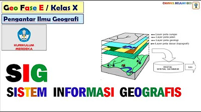
Sistem Informasi Geografis # kurikulum merdeka.
Popy X 1 Dasar Pemetaan Indera SIG Geo X Regulasi Diri

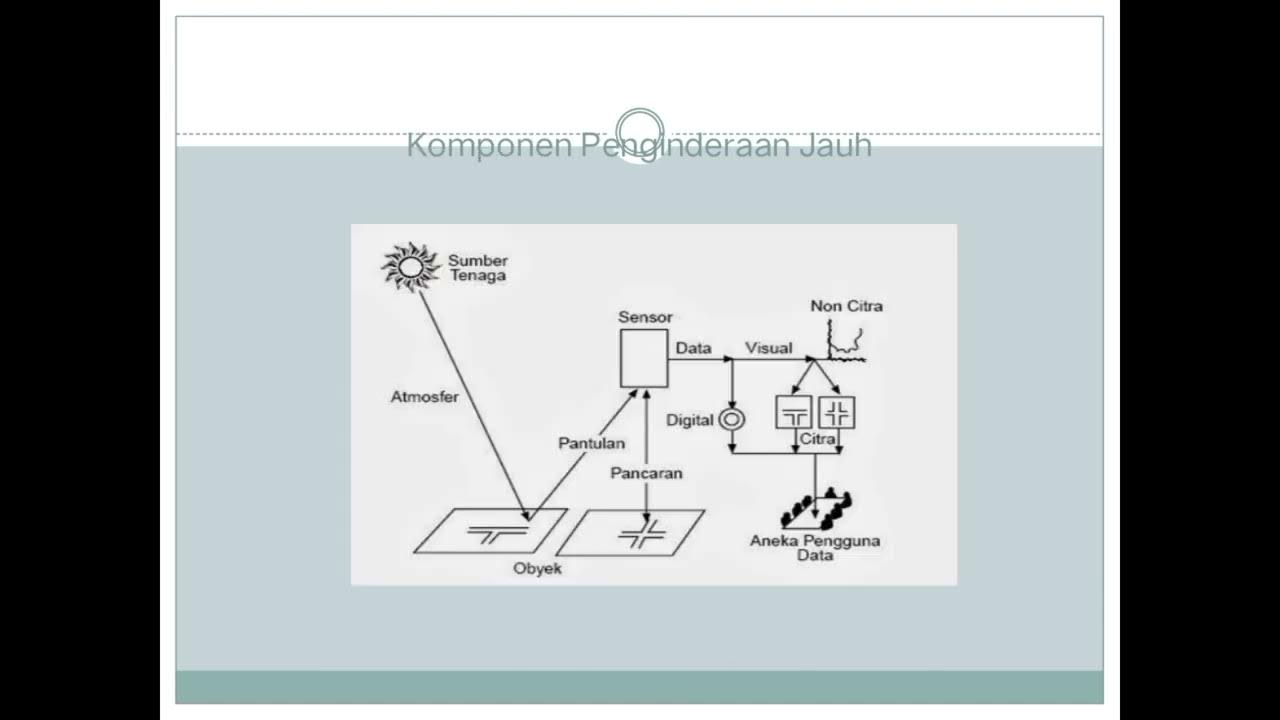
Penginderaan Jauh | Geografi | Alternatifa
RANGKUMAN METERI GEOGRAFI KELAS X SMA SEMESTER 1 KURIKULUM MERDEKA
5.0 / 5 (0 votes)