BMKG Peringatkan Gelombang Tinggi di Sejumlah Perairan hingga 7 Januari |iNews Malam (04/01)
Summary
TLDRThe Meteorological, Climatological, and Geophysical Agency (BMKG) has issued an early warning for high waves in Indonesian waters between January 4th and 7th, 2026. This is due to wind patterns causing waves ranging from 1.25 meters to 2.5 meters, and potentially up to 4 meters in some regions. Areas at risk include the Malacca Strait, the Indian Ocean, and the Arafura Sea. BMKG urges maritime users, including fishermen and tourist boats, to stay updated on weather conditions and coordinate with authorities to ensure safety during this period of heightened risk.
Takeaways
- 😀 BMKG issues an early warning for high waves from January 4 to 7, 2026, in some Indonesian waters.
- 😀 The warning is due to wind patterns in Indonesia, with the north winds moving from the west to the northeast, and the south winds from the southwest to the northwest.
- 😀 Wave heights are expected to range from 1.25 meters to 2.5 meters, posing a risk to maritime activities.
- 😀 BMKG advises caution, especially for those using boats and ships.
- 😀 The affected areas include the northern part of the Malacca Strait, the Indian Ocean off Nias, the waters near Aceh, the Arafura Sea, and the Banda Sea.
- 😀 High waves reaching 2.5 meters to 4 meters may occur in areas like the Indian Ocean off Mentawai, West Lampung, the Natuna Sea, the Maluku Sea, and parts of Papua.
- 😀 Strong wind speeds (up to 25 knots) are a major contributor to the high waves.
- 😀 The presence of tropical disturbance Bad 91S west of Lampung also indirectly contributes to these conditions.
- 😀 For fishermen using boats under 30 GT, waves up to 1.5 meters are safe, but waves above 2 meters pose significant risks.
- 😀 BMKG encourages maritime users, including fishermen and tourist boat operators, to stay updated on weather conditions and coordinate with relevant authorities like port management and ship approval agencies.
Q & A
What is the primary reason for the potential high waves in Indonesian waters from January 4 to 7, 2026?
-The potential high waves are mainly caused by wind patterns in the region, with winds moving from the west to the northeast, reaching speeds up to 25 knots.
Which maritime areas in Indonesia are expected to be most affected by the high waves?
-The most affected areas include the northern part of the Malacca Strait, the western Indian Ocean near Nias, the western part of Aceh, the Arafura Sea, the Banda Sea, the Natuna Sea, and the northern coasts of Papua.
What is the wave height range mentioned in the BMKG warning?
-The BMKG warning specifies wave heights ranging from 1.25m to 4m, depending on the location and conditions.
How does wind speed affect the formation of high waves?
-Wind speed is a key factor in wave formation. Strong winds, particularly those reaching 25 knots, generate high waves by transferring energy to the water surface.
What specific risk do fishermen and small boat operators face during this period?
-Fishermen and small boat operators are at risk due to the height of the waves. Waves above 2 meters can be dangerous, particularly for boats under 30 GT, with a higher risk to safety beyond 1.5 meters of wave height.
What should fishermen do to ensure their safety during high wave conditions?
-Fishermen should monitor updates on maritime weather, coordinate with local authorities, and avoid venturing out when wave heights exceed 1.5 meters, especially if they are using boats under 30 GT.
Why is it important for maritime users to stay updated on weather conditions?
-Staying updated is crucial for avoiding risky conditions. By tracking weather and wave reports, maritime users can adjust their activities and ensure safe passage through potentially dangerous waters.
What does the BMKG recommend regarding coordination with maritime authorities?
-BMKG recommends that maritime users, especially fishermen and smaller vessels, coordinate with local port authorities and ensure they have the necessary clearances to navigate safely, especially when conditions are hazardous.
Are there any regions where extremely high waves (above 4m) are likely to occur?
-While the warning mentions waves up to 4m, the BMKG does not specify areas where waves will exceed this height, but the regions at risk are advised to remain vigilant.
What is the role of the tropical disturbance 91S in this situation?
-Tropical disturbance 91S, located off the west coast of Lampung, indirectly contributes to the development of high waves by influencing wind patterns, which in turn generate large waves in several Indonesian maritime areas.
Outlines

Esta sección está disponible solo para usuarios con suscripción. Por favor, mejora tu plan para acceder a esta parte.
Mejorar ahoraMindmap

Esta sección está disponible solo para usuarios con suscripción. Por favor, mejora tu plan para acceder a esta parte.
Mejorar ahoraKeywords

Esta sección está disponible solo para usuarios con suscripción. Por favor, mejora tu plan para acceder a esta parte.
Mejorar ahoraHighlights

Esta sección está disponible solo para usuarios con suscripción. Por favor, mejora tu plan para acceder a esta parte.
Mejorar ahoraTranscripts

Esta sección está disponible solo para usuarios con suscripción. Por favor, mejora tu plan para acceder a esta parte.
Mejorar ahoraVer Más Videos Relacionados

INFO BMKG WASPADA POTENSI CUACA EKSTREM HARI INI SENIN 19 JANUARI 2026, PERINGATAN DINI DI WILAYAHMU

BMKG Imbau Warga Waspadai Terhadap Cuaca Ekstrem dari Desember - Maret 2025 - iNews Sore 05/12
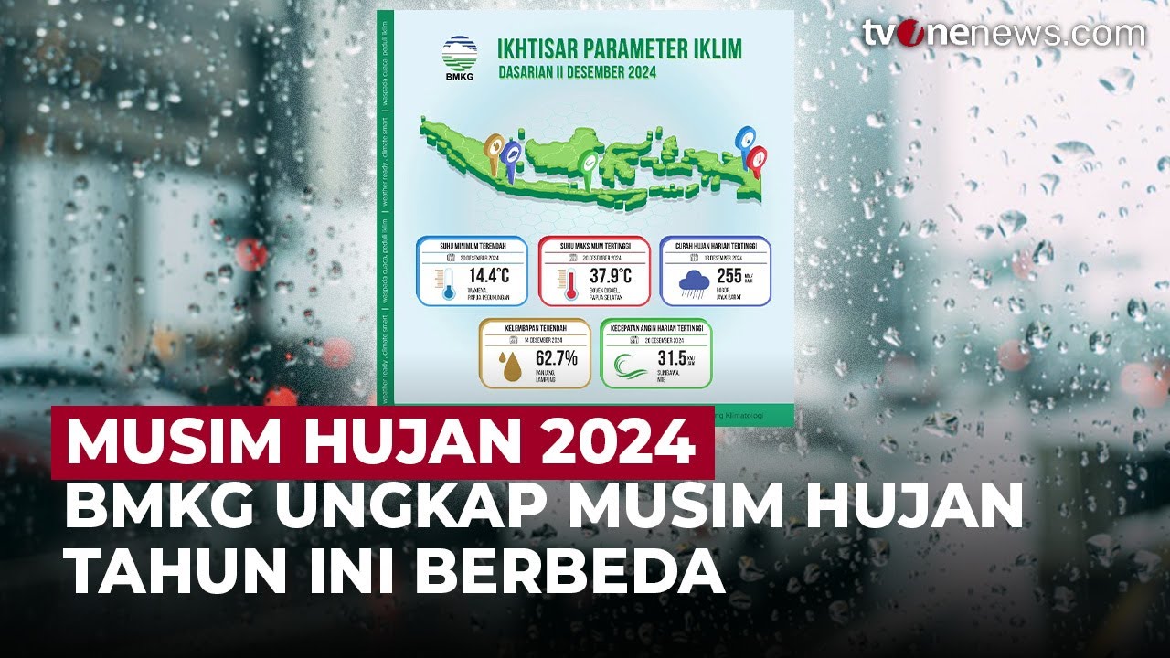
BMKG Ungkap Musim Hujan Tahun 2024 Ini Berbeda, Ini Penyebabnya | OneNews Update

Peringatan Dini BMKG Cuaca Ekstrem 1 Februari 2026, Ini Wilayah Berpotensi Hujan Lebat Angin Kencang

Banjir Bandang dan Tanah Longsor di Sukabumi, BMKG: Masih Berpotensi Terjadi
BNPB Ingatkan Soal Potensi Kebakaran Hutan dan Lahan 'Karhutla', Sulawesi Termasuk
5.0 / 5 (0 votes)
