The Weather Is About To Change A TON...
Summary
TLDRHurricane Helen has left a trail of destruction across the southeast US, causing catastrophic flooding and damage. The Ohio Valley continues to experience heavy rain and potential flooding. Meanwhile, the tropics are active with five areas monitored, including a potential Gulf of Mexico storm. The US weather pattern is unusually quiet for late September, with a ridge keeping most areas dry. However, concerns rise for a possible tropical system in the Gulf that could stall and intensify, following the landfall of four hurricanes this year.
Takeaways
- 🌀 Hurricane Helen has left a trail of destruction across the southeast United States, causing catastrophic flooding and damage.
- 💧 The Ohio Valley is still experiencing heavy rain and potential flooding due to Helen's remnants.
- 🌊 There was significant storm surge and hurricane force winds along the Florida coastline during Helen's landfall.
- 🌍 The tropics are currently very active with five different areas being monitored across the Atlantic Ocean.
- 🌪️ There's a possibility of another tropical storm or hurricane developing in the Gulf of Mexico next week.
- 🌧️ The weather pattern for the United States is unusually quiet for late September, with no major storms expected over the Rocky Mountains.
- 🌡️ Temperatures are expected to be above average for most of the country, with cooler weather forecast for the Upper Midwest and Northern Plains.
- 🌤️ The upcoming week will see a zonal flow pattern, which could lead to a tropical system stalling in the Gulf of Mexico if it develops.
- 🌀 Hurricane Isaiah in the northern Atlantic Ocean is intensifying, while two new areas of development are being monitored in the Caribbean Sea and the main development region.
- 📈 There's a high probability of a tropical storm or hurricane developing in the Gulf of Mexico next week, which could intensify if it stalls.
Q & A
What is the current status of Hurricane Helen?
-Hurricane Helen has left a trail of destruction and damage across the southeast United States and is now a post-tropical cyclone causing rain and potential flooding in the Ohio Valley.
What areas were most affected by Hurricane Helen?
-Areas like Georgia, South and North Carolina, and Florida experienced catastrophic flooding, dam failures, and damage along the shoreline due to storm surge and hurricane force winds.
Is there a possibility of another tropical storm or hurricane next week?
-Yes, there is a potential for another tropical storm or hurricane developing in the Gulf of Mexico next week.
What is the current weather situation in the Ohio Valley?
-The Ohio Valley is experiencing light to moderate rain due to a low-pressure system, with the possibility of brief spin-up or funnel cloud in West Virginia or Western Virginia.
How much rain is expected in the Ohio Valley?
-Some areas in the Ohio Valley could pick up an additional tenth to an inch of rain, while others like Kentucky might receive a few more inches.
What is the general weather pattern for the United States in the coming days?
-The weather pattern for the United States is expected to be quieter than usual for late September or early October, with ridging keeping a large part of the country dry.
Is there a specific area of concern for potential tropical development?
-Yes, one area of concern is in the Northwestern Caribbean Sea and the Gulf of Mexico, where there's an increasing chance of a tropical storm or hurricane developing.
What is the expected impact of the developing system in the Gulf of Mexico?
-If the system develops into a tropical storm or hurricane, it might stall in the Gulf of Mexico, potentially intensifying and posing a threat to the United States.
What other tropical systems are being monitored in the Atlantic Ocean?
-Aside from the system in the Gulf of Mexico, there's Hurricane Isaiah in the northern Atlantic, two areas of development in the Central and Eastern Atlantic Ocean, and Tropical Storm Joyce.
What is the potential timeline for the development of the tropical system in the Caribbean Sea?
-The tropical system in the Caribbean Sea is expected to develop sometime around Tuesday or Wednesday of the following week.
How can viewers stay updated on the latest weather forecasts?
-Viewers are encouraged to subscribe to the channel for ongoing updates on weather forecasts, especially with the potential development of another hurricane.
Outlines

Esta sección está disponible solo para usuarios con suscripción. Por favor, mejora tu plan para acceder a esta parte.
Mejorar ahoraMindmap

Esta sección está disponible solo para usuarios con suscripción. Por favor, mejora tu plan para acceder a esta parte.
Mejorar ahoraKeywords

Esta sección está disponible solo para usuarios con suscripción. Por favor, mejora tu plan para acceder a esta parte.
Mejorar ahoraHighlights

Esta sección está disponible solo para usuarios con suscripción. Por favor, mejora tu plan para acceder a esta parte.
Mejorar ahoraTranscripts

Esta sección está disponible solo para usuarios con suscripción. Por favor, mejora tu plan para acceder a esta parte.
Mejorar ahoraVer Más Videos Relacionados
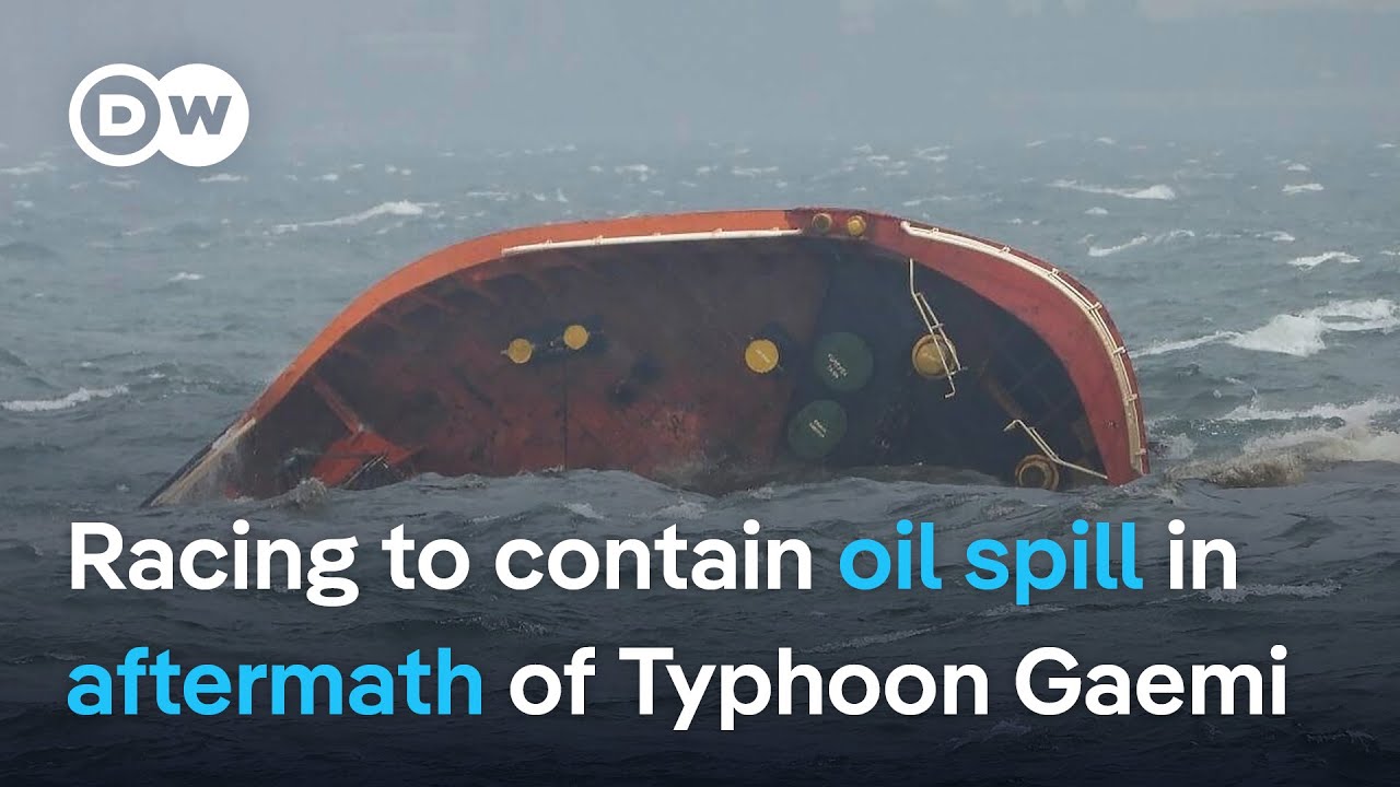
How a capsized tanker has caused a devastating oil spill in the Philippines | DW News

Recovering From Hurricane Helene | September 30, 2024

This Morning’s Top Headlines – Sept. 12 | Morning News NOW
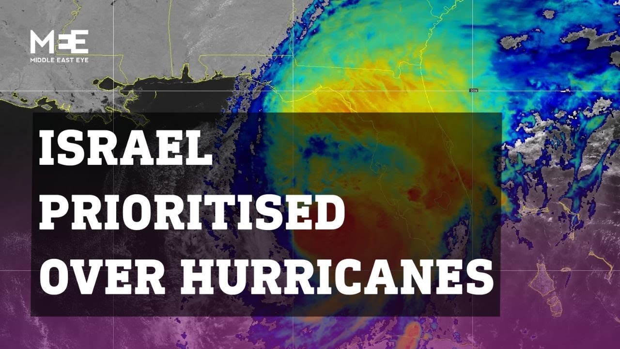
Is the US government prioritising Israel over its own hurricane-affected citizens?

9/30/2024: The Aftermath of a Hurricane

What made the Myanmar earthquake so powerful?
5.0 / 5 (0 votes)
