BAGYO, NAMUMUO NA! MATITINDING PAG-ULAN, PAGHANDAAN! 😱⛈️ | WEATHER UPDATE TODAY | ULAT PANAHON TODAY
Summary
TLDRThe weather update for Tuesday, July 15, 2025, reports the presence of a typhoon outside the country’s Area of Responsibility, with winds reaching 55 km/h and gusts up to 70 km/h. The Southwest Monsoon continues to affect several regions, causing cloudy skies, scattered rains, and thunderstorms, particularly in Western Visayas, Northern Mindanao, and Southern Leyte. Flash floods and landslides are possible. While no severe weather conditions are currently monitored, a cloud cluster east of Visayas may develop into a typhoon, potentially bringing widespread rains. There is no gale warning raised for today.
Takeaways
- 🌪️ The weather update reports a typhoon located 1,925 km east-northeast of Extreme Northern Luzon, currently moving north at 20 km/h.
- ⚡ The typhoon has maximum sustained winds of 55 km/h with gusts up to 70 km/h but is not expected to enter the Area of Responsibility (AOR).
- 🌧️ The Southwest Monsoon (Habagat) is bringing cloudy skies, scattered rains, and thunderstorms across multiple regions including Western Visayas, Negros, Central Visayas, and more.
- 🌍 Flash floods and landslides are possible in the affected areas, particularly during moderate to heavy rain.
- 🌤️ Metro Manila and other parts of the country will experience partly cloudy to cloudy skies, with isolated rain showers and thunderstorms.
- ⚠️ Severe weather conditions, such as flooding and landslides, remain possible, especially with intense thunderstorms.
- 🌀 The weather department is monitoring a cloud cluster east of Visayas, which has a high chance of becoming a typhoon within the next three days.
- 🚨 The approaching system is expected to pull the southwest monsoon, leading to widespread rains, particularly in the western regions of the country.
- 🔴 There's a possibility that this new system could make landfall in parts of Northern Luzon or extreme northern Luzon.
- 🚫 No gale warnings have been issued for any coast within the country today, indicating no immediate threats to coastal areas.
Q & A
What is the current status of the typhoon outside the Area of Responsibility?
-The typhoon, previously an LPA, has now become a tropical depression. It is currently located 1,925 km east-northeast of Extreme Northern Luzon, with maximum sustained winds of 55 km/h and gusts up to 70 km/h. It is moving north at a speed of 20 km/h and is expected to gradually move away from the country without entering the Area of Responsibility.
What weather conditions are being caused by the Southwest Monsoon (Habagat)?
-The Southwest Monsoon is bringing cloudy skies, scattered rains, and thunderstorms to several regions, including Western Visayas, Negros Island Region, Central Visayas, Zamboanga Peninsula, Northern Mindanao, Caraga, Davao region, Occidental Mindoro, Romblon, Palawan, and Southern Leyte.
Which areas are at risk of flash floods or landslides due to the ongoing weather conditions?
-Areas affected by the Southwest Monsoon, particularly those experiencing moderate to heavy rainfall, are at risk of flash floods or landslides. This includes regions such as Western Visayas, Negros Island Region, Central Visayas, and others within the Southwest Monsoon's reach.
What is the weather forecast for Metro Manila and the rest of the country?
-Metro Manila and the rest of the country are expected to have partly cloudy to cloudy skies with isolated rain showers and thunderstorms. The Southwest Monsoon continues to affect the weather, posing a risk of flooding and landslides, especially during severe thunderstorms.
Is there any severe weather being monitored in the country aside from the typhoon outside the Area of Responsibility?
-No, there are currently no severe weather conditions being monitored within the country, aside from the typhoon located outside the Area of Responsibility.
What is the situation with the cloud cluster forming east of Visayas?
-A cloud cluster has formed east of Visayas, and weather models suggest there is a high chance it will develop into a typhoon within the next three days. As it approaches Eastern Luzon, it is expected to strengthen and potentially pull the Southwest Monsoon, leading to widespread rains in the western parts of the country.
What are the potential risks associated with the cloud cluster if it turns into a typhoon?
-If the cloud cluster develops into a typhoon, it may make landfall in parts of Northern Luzon. This could result in widespread rains and possibly severe weather conditions, including the risk of flooding and landslides.
What is the current risk of gale warnings in the country?
-There are currently no gale warnings raised for any coastal areas within the country.
How many typhoons have occurred in the same period this year, and what is the significance of the developing storm?
-The developing storm, if it becomes a typhoon, would be the third typhoon in the same period this year. It is significant because it could lead to widespread rainfall and affect various parts of the country, particularly the western areas.
Why is it important to monitor the cloud cluster's behavior in the coming days?
-It is important to monitor the cloud cluster's behavior because it has the potential to develop into a typhoon, which could bring severe weather, widespread rains, and the risk of flooding and landslides. Changes in its development could affect the safety and preparedness of affected areas.
Outlines

Dieser Bereich ist nur für Premium-Benutzer verfügbar. Bitte führen Sie ein Upgrade durch, um auf diesen Abschnitt zuzugreifen.
Upgrade durchführenMindmap

Dieser Bereich ist nur für Premium-Benutzer verfügbar. Bitte führen Sie ein Upgrade durch, um auf diesen Abschnitt zuzugreifen.
Upgrade durchführenKeywords

Dieser Bereich ist nur für Premium-Benutzer verfügbar. Bitte führen Sie ein Upgrade durch, um auf diesen Abschnitt zuzugreifen.
Upgrade durchführenHighlights

Dieser Bereich ist nur für Premium-Benutzer verfügbar. Bitte führen Sie ein Upgrade durch, um auf diesen Abschnitt zuzugreifen.
Upgrade durchführenTranscripts

Dieser Bereich ist nur für Premium-Benutzer verfügbar. Bitte führen Sie ein Upgrade durch, um auf diesen Abschnitt zuzugreifen.
Upgrade durchführenWeitere ähnliche Videos ansehen
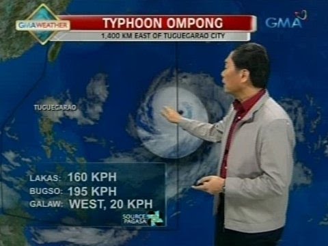
24 Oras: PAGASA: Bagyong Ompong, magtatagal sa loob ng PAR hanggang Biyernes
‘Julian’ intensifies into super typhoon as it slowly moves away from the Philippines
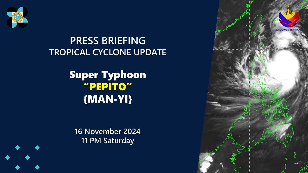
Press Briefing: SuperTyphoon#PepitoPH{Man-yi} at 11:00 PM | Nov 16, 2024-Saturday

PAGASA: Bagyong Yolanda, pinakamalakas na bagyo sa buong mundo ngayong 2013

Signal no. 4 up in Batanes due to Super Typhoon Leon | INQToday

Public Weather Forecast issued at 4PM | September 13, 2024 - Friday
5.0 / 5 (0 votes)
