24 Oras: PAGASA: Bagyong Ompong, magtatagal sa loob ng PAR hanggang Biyernes
Summary
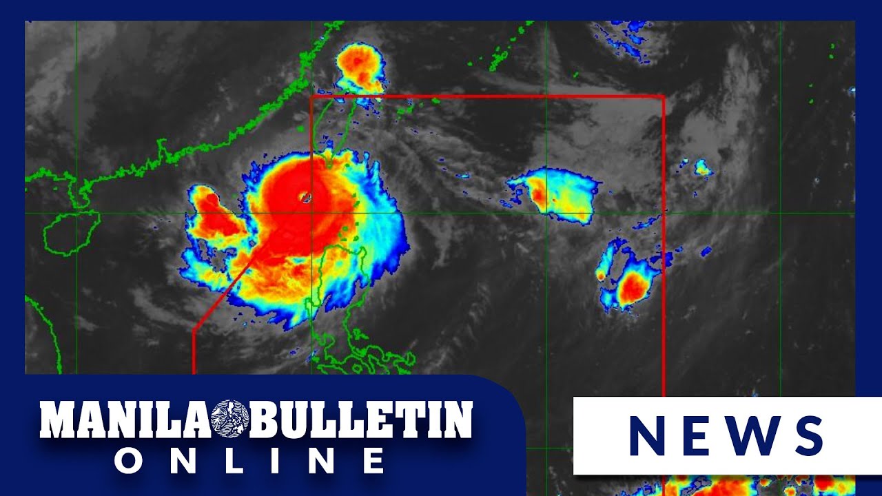
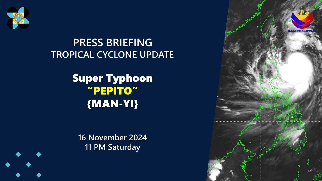
TLDRTyphoon Ompong, closely monitored by PAGASA, has entered the Philippine Area of Responsibility, with winds reaching 160 km/h and gusts up to 195 km/h. It is moving west at 20 km/h and is expected to linger in the area until Friday. The typhoon will bring heavy rainfall to parts of Luzon, Visayas, and Mindanao, with gale warnings issued for Northern Luzon. Areas in Central and Southern Luzon, including Palawan and Metro Manila, will experience rainy weather throughout the day. Additionally, the northern section of Mindanao will see rain, especially in the afternoon. The public is urged to plan ahead and stay safe during this weather event.
Takeaways
- 😀 Typhoon Ompong has entered the Philippine Area of Responsibility (PAR).
- 😀 The typhoon is located 1,400 km east of Tuguegarao City, with maximum sustained winds of 160 km/h and gusts up to 195 km/h.
- 😀 Ompong is moving westward at a speed of 20 km/h and is expected to remain within PAR until Friday.
- 😀 The typhoon's path may shift northward, affecting the southwest winds over Visayas and Mindanao, and northeast winds over Luzon.
- 😀 Gale warnings have been issued for the seaboards of Northern Luzon, including the western, northern, and eastern coasts.
- 😀 Dangerous sea conditions with waves potentially reaching 4 meters are expected in these areas, making sea travel hazardous.
- 😀 Northern and Central Luzon will experience moderate rain tonight and tomorrow morning, with heavier rainfall expected by tomorrow afternoon.
- 😀 Palawan and Metro Manila will see cloudy skies with a high chance of rain throughout the day tomorrow.
- 😀 The Visayas will experience rainfall starting in the western sections in the morning, with more widespread rain in the central and eastern regions in the afternoon.
- 😀 Mindanao will experience rainfall in the northern regions early in the day, which will spread to other areas by the afternoon.
- 😀 PAGASA advises the public to plan ahead and stay informed about the storm's development and impacts.
Q & A
What is the name of the typhoon being monitored by PAGASA?
-The typhoon being monitored by PAGASA is named Ompong.
How far is Typhoon Ompong from Tuguegarao City?
-Typhoon Ompong is approximately 1,400 km east of Tuguegarao City.
What is the wind speed of Typhoon Ompong?
-Typhoon Ompong has maximum sustained winds of 160 km/h near its center.
What is the expected movement of Typhoon Ompong?
-Typhoon Ompong is expected to move westward at a speed of 20 km/h.
How long is Typhoon Ompong expected to stay within the Philippine Area of Responsibility (PAR)?
-Typhoon Ompong is expected to stay within the Philippine Area of Responsibility (PAR) until Friday.
What weather systems will Typhoon Ompong affect in different parts of the Philippines?
-Typhoon Ompong will pull the Southwest winds, affecting Visayas and Mindanao, and the Northeast winds, which will cause rain in Luzon.
Which areas of the Philippines are currently under a Gale Warning?
-A Gale Warning is currently in effect for the seaboards of Northern Luzon, including the Western, Northern, Eastern, and Eastern Seaboards of Luzon.
What are the expected sea conditions due to Typhoon Ompong?
-The sea conditions are expected to be rough, with wave heights possibly exceeding 4 meters, making it dangerous for small sea vessels.
When is the highest chance of rainfall expected in Northern and Central Luzon?
-The highest chance of rainfall in Northern and Central Luzon is expected from tonight through tomorrow morning, with moderate rainfall.
Which areas will experience rain in the afternoon tomorrow?
-In the afternoon, Central and Southern Luzon, including Palawan, will experience rain, along with Metro Manila which will have cloudy weather and a high chance of rain throughout the day.
Outlines

This section is available to paid users only. Please upgrade to access this part.
Upgrade NowMindmap

This section is available to paid users only. Please upgrade to access this part.
Upgrade NowKeywords

This section is available to paid users only. Please upgrade to access this part.
Upgrade NowHighlights

This section is available to paid users only. Please upgrade to access this part.
Upgrade NowTranscripts

This section is available to paid users only. Please upgrade to access this part.
Upgrade NowBrowse More Related Video

‘Julian’ intensifies into super typhoon as it slowly moves away from the Philippines

BAGYO, NAMUMUO NA! MATITINDING PAG-ULAN, PAGHANDAAN! 😱⛈️ | WEATHER UPDATE TODAY | ULAT PANAHON TODAY

Signal no. 4 up in Batanes due to Super Typhoon Leon | INQToday

Public Weather Forecast issued at 4PM | September 13, 2024 - Friday

Press Briefing: SuperTyphoon#PepitoPH{Man-yi} at 11:00 PM | Nov 16, 2024-Saturday

Signal no. 2 up over 2 Luzon areas as Tropical Storm Enteng strengthens | INQToday
5.0 / 5 (0 votes)