Ilmu Ukur Tanah Basic (Part 1)
Summary
TLDRThe script introduces Lily, a lecturer at Politeknik Negeri Sriwijaya, Palembang, specializing in land surveying, geodesy, and civil engineering. She highlights the connection between geodesy, satellite technology (GPS), and land surveying for accurate mapping and position determination. The lecture also covers important techniques like photogrammetry, remote sensing, and cartography for mapping the Earth's surface, as well as the vital role of engineering surveying in civil infrastructure design. Key concepts include the use of GPS for positioning, the importance of accurate data, and the evolution of mapping technologies from paper to digital formats.
Takeaways
- 😀 Geodesy is the science of measuring and understanding the Earth's shape, gravitational field, and position, including both Earth measurements and satellite technology.
- 😀 Land surveying, a subfield of geodesy, focuses on mapping small areas (up to 37 km by 37 km) while ignoring the Earth's curvature.
- 😀 The Global Positioning System (GPS) operates 24/7 with 24 satellites monitoring Earth’s position, providing crucial data for aviation and navigation.
- 😀 Knowing your position on Earth is essential, and GPS can be used to pinpoint locations on Earth in real-time, even on ships or aircraft.
- 😀 Errors in positioning can lead to significant problems in construction, such as misaligned pillars or incorrectly placed roads.
- 😀 Geodesic data helps in determining Earth’s shape and size, with key coordinates calculated using the Greenwich Meridian as a reference.
- 😀 Photogrammetry, a technique that uses aerial photography from planes or drones, is crucial for creating accurate maps without touching the surface.
- 😀 Remote sensing allows us to map disaster-prone areas without physically visiting them, providing vital information for emergency response.
- 😀 Cartography is the art and science of map-making, involving techniques like digital and 3D mapping to depict Earth's surface.
- 😀 Engineering surveying, a branch of civil engineering, focuses on detailed, large-scale mapping for infrastructure projects like roads, bridges, and buildings.
- 😀 The process of converting curved Earth models to flat maps involves distortion, which affects distance, angle, and area measurements.
Q & A
What is the relationship between land surveying and geodesy?
-Land surveying is a subfield of geodesy that focuses on measuring land areas and mapping the earth's surface. Geodesy, on the other hand, involves a broader scope, studying the earth's shape, size, and gravitational field using various methods, including satellite technology.
What is the significance of GPS in land surveying?
-GPS (Global Positioning System) is crucial for determining precise positions on the Earth's surface. It operates through satellites that orbit the Earth, providing continuous 24/7 data, which is used for applications such as flight navigation and maritime position tracking.
Why is determining position on the Earth important in surveying?
-Position determination is vital because accurate coordinates ensure proper construction, navigation, and resource management. For example, incorrect positioning can lead to errors in construction projects, such as misplacement of infrastructure like roads or buildings.
What is the role of photogrammetry in land surveying?
-Photogrammetry involves creating maps or 3D models from aerial photos, often taken by drones or aircraft. It uses remote sensing techniques to capture data from above, allowing surveyors to map land without direct physical contact with the area being surveyed.
How does geodetic surveying differ from land surveying?
-Geodetic surveying covers a wider scope, studying the Earth's size, shape, and gravity field. It uses both ground-based measurements and satellite data. In contrast, land surveying typically focuses on smaller areas, often ignoring the Earth's curvature and considering the surface as flat.
What are the potential errors in land surveying?
-Errors in land surveying can arise from inaccuracies in measuring distances, angles, and positions. Misalignment of equipment, improper calibration, or errors in reading coordinates can lead to significant mistakes in mapping and construction.
What is the purpose of creating a control network in geodesy?
-A control network in geodesy is used to establish fixed reference points for accurate mapping and surveying. These networks help maintain consistency and precision across large-scale surveys, especially when integrating data from various sources like GPS or satellite systems.
What is cartography and how does it relate to land surveying?
-Cartography is the science and art of creating maps. It involves representing the Earth's surface through various techniques, including land surveying. Cartography helps translate the data collected in surveys into visual formats, such as two-dimensional or three-dimensional maps.
What are the different units of angular measurement used in surveying?
-The primary units of angular measurement in surveying are degrees, minutes, and seconds (DMS), as well as gradians (grades). For example, one full circle is 360° or 400 gradians, with each degree or grade subdivided into smaller units for precise measurement.
How does distortion occur when mapping the Earth’s curved surface onto a flat map?
-Distortion occurs when the Earth's curved surface is represented on a flat map. This distortion affects distances, angles, and areas, and various methods, such as projections and mathematical formulas, are used to minimize these distortions in map-making.
Outlines

Dieser Bereich ist nur für Premium-Benutzer verfügbar. Bitte führen Sie ein Upgrade durch, um auf diesen Abschnitt zuzugreifen.
Upgrade durchführenMindmap

Dieser Bereich ist nur für Premium-Benutzer verfügbar. Bitte führen Sie ein Upgrade durch, um auf diesen Abschnitt zuzugreifen.
Upgrade durchführenKeywords

Dieser Bereich ist nur für Premium-Benutzer verfügbar. Bitte führen Sie ein Upgrade durch, um auf diesen Abschnitt zuzugreifen.
Upgrade durchführenHighlights

Dieser Bereich ist nur für Premium-Benutzer verfügbar. Bitte führen Sie ein Upgrade durch, um auf diesen Abschnitt zuzugreifen.
Upgrade durchführenTranscripts

Dieser Bereich ist nur für Premium-Benutzer verfügbar. Bitte führen Sie ein Upgrade durch, um auf diesen Abschnitt zuzugreifen.
Upgrade durchführen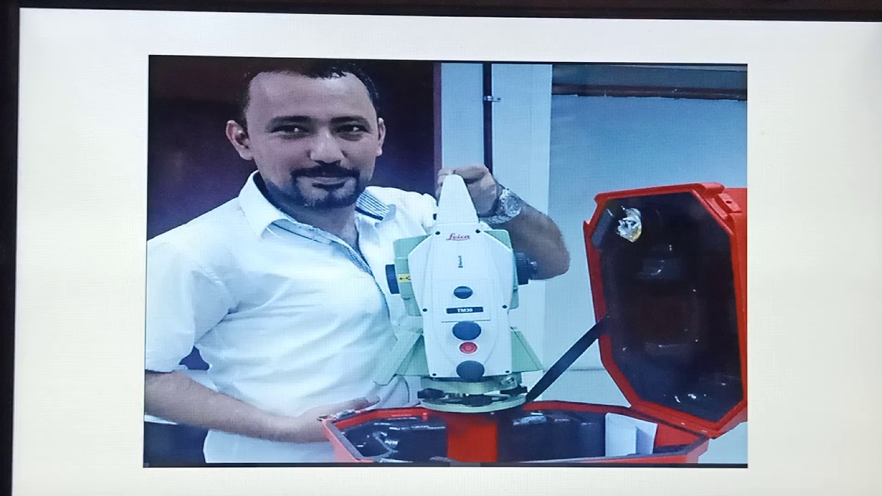


5.0 / 5 (0 votes)
