Download Free Land Cover data from Earth Explorer / USGS
Summary
TLDRThis tutorial guides viewers through downloading land cover data from the USGS Earth Explorer for their area of interest. It covers the process of logging into Earth Explorer, selecting the area of interest, and choosing the appropriate dataset, specifically the NASA LPD MCD12Q1 version 6.1. The tutorial also includes instructions on obtaining necessary login credentials, downloading the data in HDF4 format, and using a GIS software to visualize and reclassify the data according to the user guide provided. The video concludes with tips on customizing the visual representation of different land cover types.
Takeaways
- 🌍 The tutorial demonstrates how to download land cover data from the USGS Earth Explorer for mapping large areas.
- 📊 The data resolution is 500m by 500m, derived from the MODIS Terra satellite.
- 📅 The available data spans from 2001 to 2022, with the file format being HDF4.
- 🔑 A NASA Earth data login account is required for downloading the data.
- 💻 The tutorial guides users through the process of logging into Earth Explorer and selecting an Area of Interest (AOI).
- 🗓️ Users can search for data by year, with the tutorial focusing on data from 2001 to 2022.
- 📚 The NASA LPD WACC collection, specifically the MODIS land cover v6.1, is identified as the dataset for download.
- 🔗 The tutorial provides links to resources such as Earth Explorer and NASA data login, which are included in the video description.
- 🖼️ The data can be visualized and analyzed in GIS software, with the tutorial showing how to add and project the data correctly.
- 🛠️ Reclassification of the data is necessary to match the values with their corresponding land cover types as per the user guide.
- 🖥️ The tutorial concludes with instructions on how to reclassify the data and customize the display for better visualization.
Q & A
What is the purpose of the video tutorial?
-The purpose of the video tutorial is to guide viewers on how to download land cover data from the USGS Earth Explorer.
What is the resolution of the MODIS Terra land cover data mentioned in the video?
-The resolution of the MODIS Terra land cover data is 500m by 500m.
What years of data are available for the global land cover dataset?
-The global land cover dataset is available year-wise from 2001 to 2022.
What is the data type and version of the land cover data set used in the tutorial?
-The data type is land cover type MCD12Q1 version 6.1.
Which instrument acquires the land cover data discussed in the video?
-The land cover data is acquired from the Moderate Resolution Imaging Spectroradiometer (MODIS) on both the Terra and Aqua satellites.
What file format is the land cover data provided in?
-The land cover data is provided in HDF4 file format.
Why is an Earth Explorer account required to download the data?
-An Earth Explorer account is required to access and download the land cover data from the USGS Earth Explorer platform.
How can one create an Earth Explorer account if they don't have one?
-The video creator has made a separate video explaining how to create an Earth Explorer account, and a link to that video is provided in the description.
What is the role of the NASA Earth Data login in the data download process?
-The NASA Earth Data login is required for authentication to download the land cover data from the USGS Earth Explorer.
How can viewers find the user guide for the land cover data?
-The user guide can be found in the 'Product Quality' section of the data set details on the Earth Explorer platform.
What software is used to visualize the downloaded land cover data?
-The software used to visualize the land cover data is ArcGIS, as indicated by the mention of adding data and changing projections within the software.
What is the process for reclassifying the land cover data in ArcGIS?
-The process involves using the 'Reclassify' tool in ArcGIS's spatial analysis toolbox, where unique values from the raster data are reclassified according to the user guide's classification.
Outlines

هذا القسم متوفر فقط للمشتركين. يرجى الترقية للوصول إلى هذه الميزة.
قم بالترقية الآنMindmap

هذا القسم متوفر فقط للمشتركين. يرجى الترقية للوصول إلى هذه الميزة.
قم بالترقية الآنKeywords

هذا القسم متوفر فقط للمشتركين. يرجى الترقية للوصول إلى هذه الميزة.
قم بالترقية الآنHighlights

هذا القسم متوفر فقط للمشتركين. يرجى الترقية للوصول إلى هذه الميزة.
قم بالترقية الآنTranscripts

هذا القسم متوفر فقط للمشتركين. يرجى الترقية للوصول إلى هذه الميزة.
قم بالترقية الآنتصفح المزيد من مقاطع الفيديو ذات الصلة
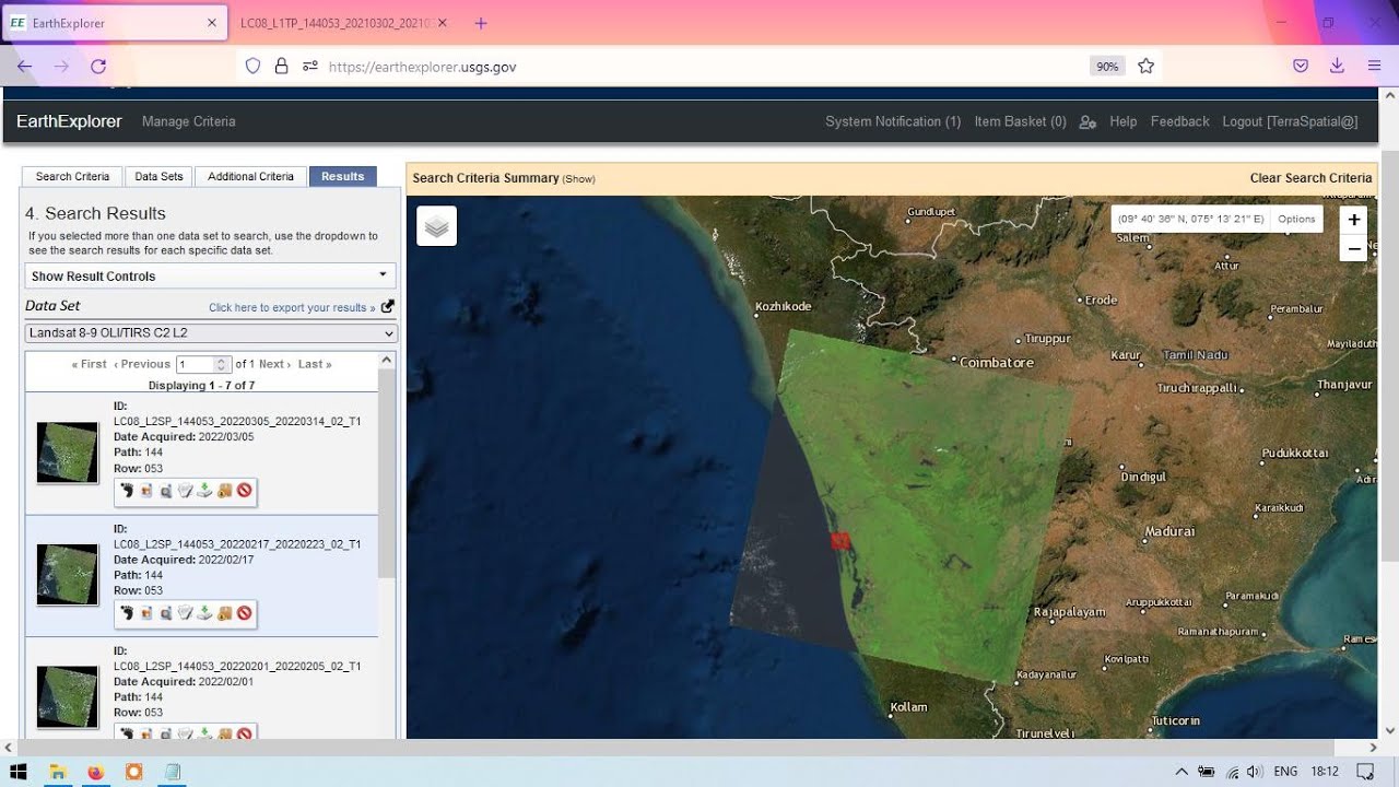
Download Landsat 8 images from EarthExplorer / USGS
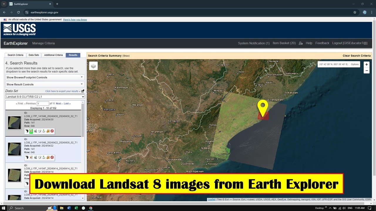
How to Download Landsat 8 image from Earth Explorer | Free
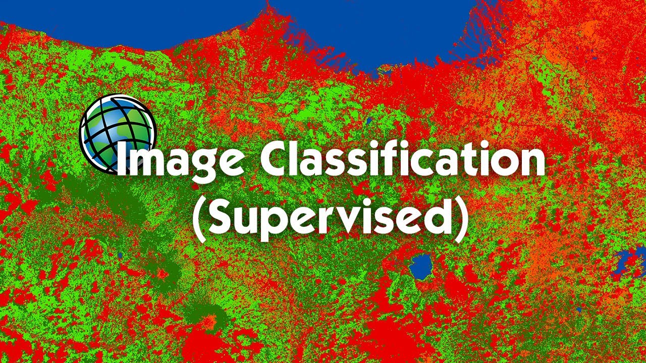
Tutorial Image Classification (Supervised) Menggunakan ArcGIS
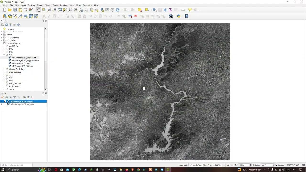
How to Import Raster layer in QGIS | QGIS 3.28 - Latest Tutorials
Cara Mengukur Luas Tanah Menggunakan Aplikasi Google Earth

Play Supertux Cart with Arduino Esplora - in German
5.0 / 5 (0 votes)
