Geospatial Revolution / Episode Two
Summary
TLDRThis transcript explores the transformative role of geospatial technology and geographic information systems (GIS) in urban development and city management. Through examples from Portland, the video highlights how GIS tools enhance city services, inform decision-making, and engage citizens in real-time data sharing. From crime data to transportation, 3D building models, and community engagement apps like PDX Reporter, the integration of technology empowers cities to be more participatory, sustainable, and efficient. It also demonstrates how these tools can tackle issues like public health, accessibility, and environmental concerns, shaping the future of urban living.
Takeaways
- 🌆 More than half of the world's population now lives in urban areas, highlighting the growing importance of city planning and management.
- 🗺️ Geospatial technologies, like GIS and LIDAR, help city governments make better decisions, improve services, and increase public participation.
- 📊 Portland Maps and Transit Tracker provide citizens with real-time access to crime data, transportation, utilities, and other city information, promoting transparency.
- 📱 Mobile apps like PDX Reporter allow residents to report issues with GPS coordinates, enabling rapid, geographically coded responses from the city.
- 🏙️ GIS enables long-term urban planning, 3-D building modeling, shadow analysis, and sightline evaluation, helping the city meet development and environmental goals.
- 🚶 Portland aims for 90% of residents to live within walking distance of essential services by 2025, using data overlays to identify areas needing infrastructure improvements.
- 🚚 Geospatial technology and route optimization algorithms improve delivery efficiency, reduce fuel use, and minimize carbon emissions, turning logistical data into actionable knowledge.
- 📡 Telematics and GPS tracking enhance driver safety, operational efficiency, and real-time decision-making for transportation and delivery services.
- 🥦 GIS mapping helps identify underserved neighborhoods, guiding interventions like supermarket placement to improve access to healthy food and reduce diet-related diseases.
- 🌍 The integration of geography and technology empowers individuals and organizations to understand their communities, make informed decisions, and improve quality of life.
Q & A
How has urbanization influenced the use of geospatial technology in cities?
-With more than half of the world's population living in urban areas, cities are using geospatial technology to improve governance, make data-driven decisions, and engage citizens in a more participatory way.
What is Portland Maps and how does it benefit citizens?
-Portland Maps is a public platform that provides access to crime data, transportation, property information, utilities, and other city data. It allows citizens to access the same information that city officials use, promoting transparency and civic engagement.
How does the Transit Tracker system enhance public transportation services?
-Transit Tracker uses GPS on buses to provide real-time location information, arrival times, and accessibility features such as curb cuts and crosswalks. This helps passengers plan their trips efficiently and ensures accessibility for people with disabilities.
What is the purpose of the PDX Reporter app?
-PDX Reporter allows residents to report issues in the city, like graffiti, using GPS-tagged photos. The app provides real-time, geographically coded feedback to the city and allows citizens to track the status of their reports.
How does GIS support long-range urban planning in Portland?
-GIS is used to analyze economic development, housing, environmental issues, and more. Tools like 3D building models and LIDAR data help perform shadow analyses, sightline evaluations, and overlay data to plan walkable neighborhoods and sustainable city development.
In what ways does geospatial technology contribute to operational efficiency and environmental benefits?
-By optimizing routes for drivers, GIS reduces unnecessary mileage, fuel consumption, and carbon emissions. For example, saving just one mile per driver per day can prevent 20,000 metric tons of carbon emissions annually, demonstrating both operational and environmental gains.
How do delivery companies use GIS and telematics to improve safety and efficiency?
-Delivery companies use GPS and handheld devices to assign packages, optimize routes, and track drivers in near real-time. Telematics sensors monitor driving behaviors such as seatbelt use, stopping at signs, and reversing safely, improving safety and communication.
How does GIS help address public health issues and food access?
-GIS maps identify neighborhoods with limited access to healthy food and high rates of diet-related diseases. Organizations like the Food Trust use these maps to guide policymakers, open new stores, and improve nutrition access for underserved communities.
What role does citizen input play in maintaining accurate maps?
-Drivers and residents provide data on missing roads or new developments, which is combined with software updates to ensure maps remain accurate and up-to-date. This human-software collaboration is crucial for operational efficiency and reliability.
What is the broader significance of making geographic data accessible to the public?
-Making geographic data publicly accessible empowers citizens to make informed decisions, participate in city planning, and understand their environment. It also enables technology to improve daily life and fosters a more connected and sustainable society.
How has geospatial technology transformed the identity of delivery and logistics companies?
-Companies that once relied solely on trucks have evolved into technology-driven organizations, using GIS, analytics, and telematics to optimize routes, improve safety, and integrate operational data into decision-making processes.
Why is visual mapping more effective than statistics alone in influencing policymakers?
-Visual maps highlight areas of need, making complex data immediately understandable. Seeing neighborhoods marked in red for high need can influence policymakers more effectively than numbers alone, leading to targeted projects and funding.
Outlines

This section is available to paid users only. Please upgrade to access this part.
Upgrade NowMindmap

This section is available to paid users only. Please upgrade to access this part.
Upgrade NowKeywords

This section is available to paid users only. Please upgrade to access this part.
Upgrade NowHighlights

This section is available to paid users only. Please upgrade to access this part.
Upgrade NowTranscripts

This section is available to paid users only. Please upgrade to access this part.
Upgrade NowBrowse More Related Video

How a geospatial nervous system could help us design a better future | Jack Dangermond

Geospatial Revolution

Konsep Dasar Sistem Informasi Geografi (SIG)
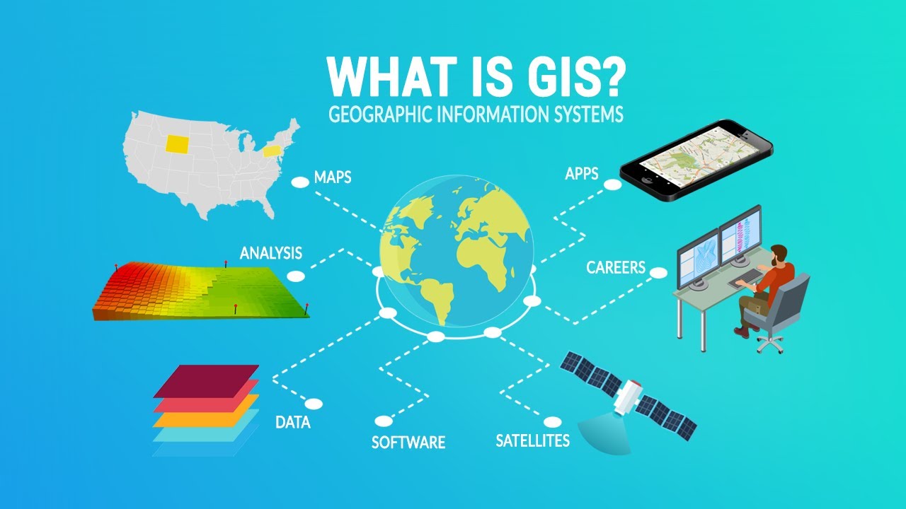
What Is GIS? A Guide to Geographic Information Systems
SISTEM INFORMASI GEOGRAFIS (SIG) LENGKAP
Sistem Informasi Geografis | Geografi Kelas 10 - KHATULISTIWA MENGAJAR
5.0 / 5 (0 votes)