Indonesian agency expects rainy season to help end forest fires soon
Summary
TLDRIndonesia’s National Disaster Mitigation Agency expects forest fires in Sumatra and Kalimantan to end with the arrival of the rainy season. Recent rainfall has helped reduce the number of hotspots by nearly 80%. Despite this, authorities continue cloud seeding efforts to optimize rain potential. Over 320,000 hectares of forest have been burned this year, marking the worst damage since 2015. Indonesia has deployed more than 29,000 personnel and numerous aircraft to combat the fires, including water bombing and cloud seeding efforts.
Takeaways
- 😀 Indonesia's national disaster mitigation agency expects forest fires in Sumatra and Kalimantan to end soon with the arrival of the rainy season.
- 🌧️ Rainfall has already been recorded in affected areas like Rio and Jambi, which were heavily impacted by the haze.
- 🛰️ Satellite imagery shows a significant decrease in the number of hotspots, with a nearly 80% reduction from Thursday to Saturday.
- 💨 Despite improvements, authorities will continue cloud seeding efforts in both Sumatra and Kalimantan to increase rainfall.
- 🔥 Over 320,000 hectares of forest have been burned from January to August this year, marking the worst forest damage since 2015.
- 👨🚒 Indonesia has deployed over 29,000 personnel to fight the ongoing fires across the affected regions.
- ✈️ The country is using dozens of aircraft for water bombing and cloud seeding to help control the fires.
- 🌀 Cloud seeding measures aim to optimize rainfall and mitigate the effects of the fires in heavily affected areas.
- 🌲 The forest fires in Indonesia have had significant environmental impacts, leading to widespread forest destruction.
- 🔴 The decline in hotspots indicates progress, but authorities are continuing efforts to fully extinguish the fires and restore affected areas.
Q & A
What is the expected outcome regarding forest fires in Sumatra and Kalimantan?
-The National Disaster Mitigation Agency of Indonesia expects the forest fires in Sumatra and Kalimantan to end soon with the arrival of the rainy season.
What measures have been taken in areas like Rio and Jambi to combat the haze caused by the fires?
-In areas like Rio and Jambi, which were severely affected by the haze, there has been rainfall, and authorities are continuing cloud seeding measures to optimize the potential for rain.
How much have the hotspots decreased in the affected regions based on satellite imagery?
-Satellite imagery shows that the number of hotspots in the affected regions has declined by nearly 80% from Thursday to Saturday.
What is the significance of the rainfall in Indonesia in relation to the forest fires?
-The rainfall, which has been observed in areas like Rio and Jambi, is seen as a positive development in alleviating the haze and helping to extinguish the fires as the rainy season begins.
How extensive has the damage been to Indonesia’s forests this year?
-More than 320,000 hectares of forest have been burned from January to August this year, marking the worst damage to forests since 2015.
How many personnel have been deployed to fight the forest fires in Indonesia?
-Indonesia has deployed more than 29,000 personnel to combat the forest fires.
What type of aircraft is being used in the fight against the forest fires?
-Dozens of aircraft are being used to conduct water bombing and cloud seeding efforts to fight the fires.
Why is cloud seeding being continued in both Sumatra and Kalimantan?
-Cloud seeding is being continued in Sumatra and Kalimantan to optimize the potential for rainfall, which helps mitigate the forest fires and the haze.
What has been the overall impact of the forest fires in terms of environmental damage?
-The forest fires have caused significant environmental damage, with over 320,000 hectares of forest burned, making this the worst fire damage Indonesia has experienced since 2015.
What is the role of the Indonesian Weather Agency in managing the forest fire situation?
-The Indonesian Weather Agency has been monitoring the situation using satellite imagery and providing forecasts that support fire mitigation efforts, including the use of cloud seeding and rainfall monitoring.
Outlines

This section is available to paid users only. Please upgrade to access this part.
Upgrade NowMindmap

This section is available to paid users only. Please upgrade to access this part.
Upgrade NowKeywords

This section is available to paid users only. Please upgrade to access this part.
Upgrade NowHighlights

This section is available to paid users only. Please upgrade to access this part.
Upgrade NowTranscripts

This section is available to paid users only. Please upgrade to access this part.
Upgrade NowBrowse More Related Video
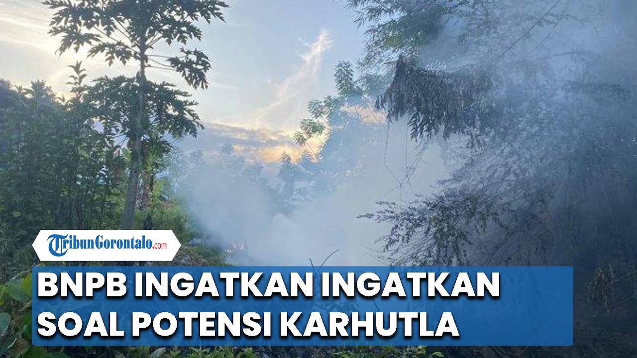
BNPB Ingatkan Soal Potensi Kebakaran Hutan dan Lahan 'Karhutla', Sulawesi Termasuk
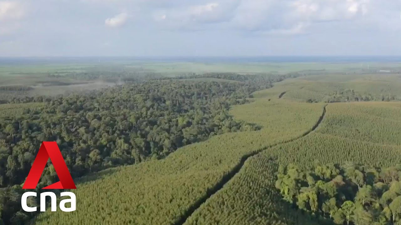
Early detection a key part of Indonesia’s fire management efforts in face of greater wildfire threat

Paradigma Baru Kebijakan Manajemen Bencana Pasca Tsunami Aceh - [Metro Siang]

Kemarau, Potensi Kebakaran Permukiman Meningkat
Longsor Tambang Emas Ilegal Solok Telan 13 Korban Tewas, BPBD Sumbar Resmi Hentikan Evakuasi

Mitigasi Bencana Alam | Materi Geografi Kelas XI SMA/MA
5.0 / 5 (0 votes)