Posisi Strategis Indonesia & Potensi SDA #kumer
Summary
TLDRIn this educational video, the instructor introduces Grade 11 Geography under Indonesia's independent curriculum. The video covers Indonesia's strategic position and natural resource potential, focusing on the country's astronomical location, which spans 6°N to 11°S latitude and 95°E to 141°E longitude. The lesson explores key concepts like latitude, longitude, and the equator's impact on Indonesia's climate and biodiversity. Additionally, it explains the time zones and geographical divisions. Indonesia's location provides benefits such as dense tropical rainforests, megabiodiversity, and favorable conditions for agriculture, making the content relevant for understanding the country’s geography.
Takeaways
- 😀 Indonesia's geography is a key topic for Grade 11 students under the independent curriculum, covering aspects like strategic positioning, natural resources, biodiversity, and disaster management.
- 😀 The curriculum's first topic for Grade 11 Geography is Indonesia's strategic position and natural resources, which includes understanding Indonesia's astronomical, geographical, and geological locations.
- 😀 Astronomical location refers to the position of a region based on latitude and longitude, with Indonesia spanning from 6°N to 11°S latitude and 95°E to 141°E longitude.
- 😀 The equator divides the Earth into the Northern and Southern Hemispheres, impacting Indonesia's climate and biodiversity, with intense sunlight throughout the year and high humidity.
- 😀 Longitude is the line connecting the North and South Poles, with the prime meridian at 0° longitude and the International Date Line at 180°, which influences time zones and day differences across regions.
- 😀 Indonesia's northernmost point is Rondo Island, and its southernmost point is Dana Island, while the westernmost and easternmost points are located in Sabang and South Papua, respectively.
- 😀 Indonesia's astronomical location results in a tropical climate, marked by high rainfall and dense rainforests, creating an environment conducive to agriculture and high biodiversity.
- 😀 The equator crosses seven provinces in Indonesia, including West Sumatra, Kalimantan, Sulawesi, and Maluku, which has implications on climate and living conditions in these regions.
- 😀 Indonesia spans three time zones: Western Indonesian Time (WIB), Central Indonesian Time (WITA), and Eastern Indonesian Time (WIT), affecting daily life and activities across the archipelago.
- 😀 The advantages of Indonesia's location include its rich tropical rainforests, a diverse range of flora and fauna, and a climate ideal for agriculture, making the country a global biodiversity hotspot.
Q & A
What is meant by 'astronomical location' of a country?
-Astronomical location refers to the position of a region based on its latitude and longitude coordinates.
How is latitude defined and what is its significance?
-Latitude is a line running from west to east, measured from the equator (0°) to the poles (90°). It helps in determining a region's position north or south of the equator.
What is the difference between the North Pole and the South Pole in terms of latitude?
-The North Pole is located at 90°N, while the South Pole is at 90°S, marking the highest latitudes on the Earth.
Where does longitude begin and how is it measured?
-Longitude begins at 0° from Greenwich, England, and is measured east or west up to 180°. It divides the Earth into Eastern and Western hemispheres.
What is the significance of the International Date Line?
-The International Date Line is located at 180° longitude and marks the point where the date changes, which causes a difference of one day when crossed.
What are the exact astronomical coordinates of Indonesia?
-Indonesia's astronomical location ranges from 6°N to 11°S in latitude and from 95°E to 141°E in longitude.
What is the northernmost point of Indonesia?
-The northernmost point of Indonesia is Rondo Island, located at 6°4' North Latitude.
What is the impact of Indonesia's astronomical location on its climate?
-Indonesia's position along the equator results in a tropical climate, with high temperatures, humidity, and abundant rainfall, which supports tropical rainforests.
How does Indonesia's location impact its time zones?
-Indonesia is divided into three time zones: Western Indonesian Time (GMT+7), Central Indonesian Time (GMT+8), and Eastern Indonesian Time (GMT+9), due to its vast geographical spread.
What are the advantages of Indonesia's geographical location?
-Indonesia benefits from a dense tropical rainforest, high biodiversity (megabiodiversity), and a climate that supports agriculture, all due to its strategic astronomical location.
Outlines

This section is available to paid users only. Please upgrade to access this part.
Upgrade NowMindmap

This section is available to paid users only. Please upgrade to access this part.
Upgrade NowKeywords

This section is available to paid users only. Please upgrade to access this part.
Upgrade NowHighlights

This section is available to paid users only. Please upgrade to access this part.
Upgrade NowTranscripts

This section is available to paid users only. Please upgrade to access this part.
Upgrade NowBrowse More Related Video

Pengembangan Wilayah, Tata Ruang & Pengaruhnya Terhadap Kebahagiaan #Kurikulum Nasional Geo Klas XII
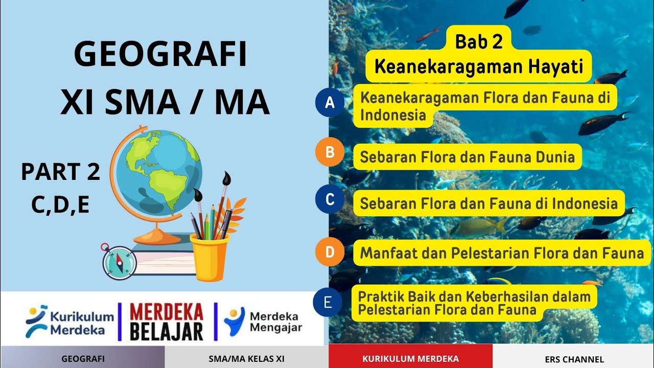
BAB 2 KEANEKARAGAMAN HAYATI | GEOGRAFI SMA KELAS XI | KURIKUKUM MERDEKA
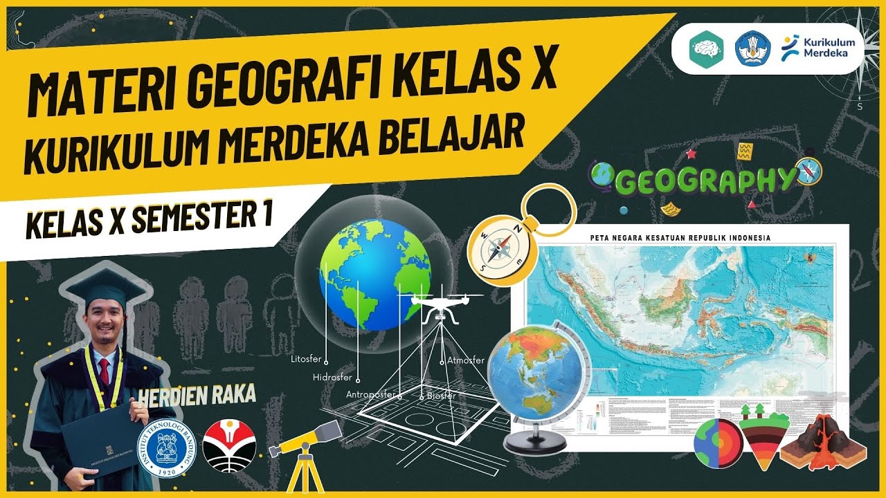
RANGKUMAN METERI GEOGRAFI KELAS X SMA SEMESTER 1 KURIKULUM MERDEKA

MPLS | SMA Negeri 4 Surabaya | Kurikulum Sekolah

Rangkuman Materi IPS Kelas 7 Tema 1 Kurikulum Merdeka Rev 2023

Kurikulum Merdeka Rangkuman PPKN Kelas 8 Bab 2: Bentuk dan Kedaulatan Bangsa
5.0 / 5 (0 votes)