Animasi || Tujuan Wawasan Nusantara sebagai Geopolitik Indonesia
Summary
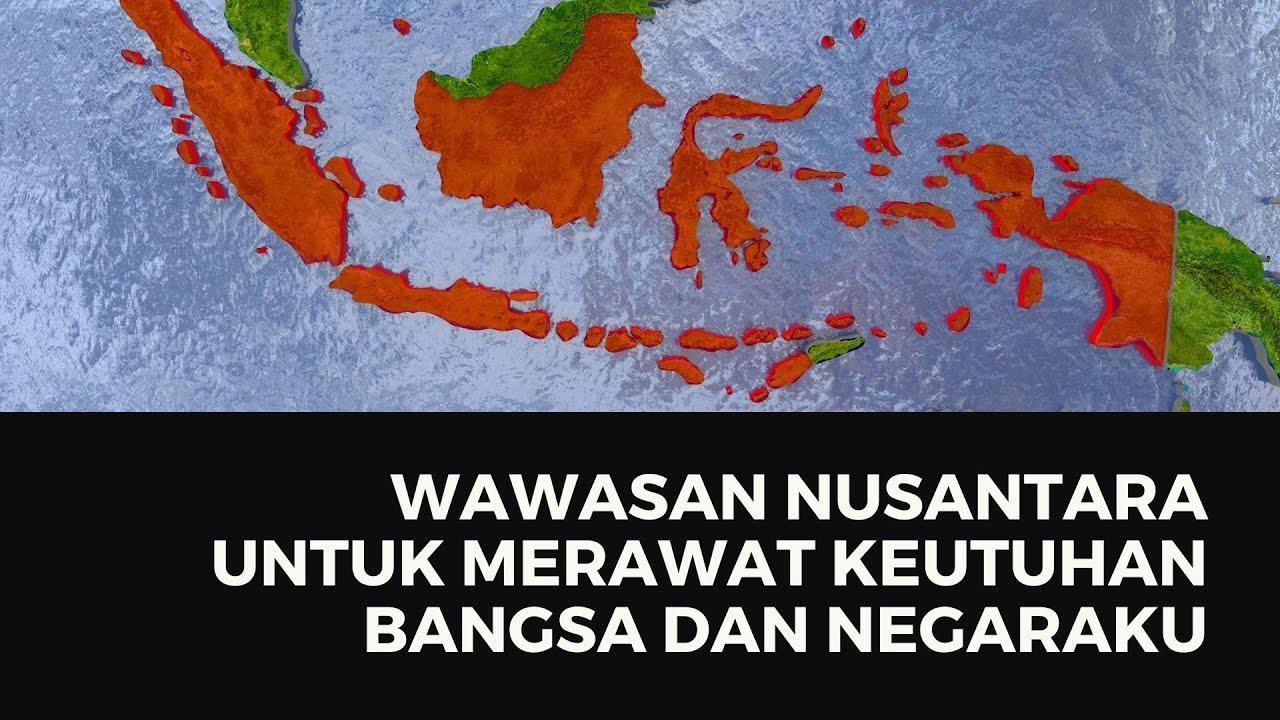
TLDRThe video explains the concept of Wawasan Nusantara, Indonesia's geopolitical perspective, which emphasizes the nation's view on itself and its environment. It highlights Indonesia’s strategic positioning as an archipelago, situated between Asia and Australia, and between the Pacific and Indian Oceans. The video covers factors influencing this worldview, such as Indonesia’s archipelagic nature, legal foundations, and historical milestones like the Djuanda Declaration. It also outlines how Wawasan Nusantara guides Indonesia's geopolitical policies and contributes to national integration, resource management, and international recognition, promoting the country’s territorial integrity and prosperity.
Takeaways
- 😀 Wawasan Nusantara refers to Indonesia’s perspective on its vast geographical area, including its islands and surrounding waters, based on Pancasila and the 1945 Constitution.
- 😀 The term ‘Nusantara’ refers to the Indonesian archipelago, which lies between the Pacific and Indian Oceans, and between the continents of Asia and Australia.
- 😀 Wawasan Nusantara reflects the way Indonesia views itself and its surroundings, which influences the country’s national goals and aspirations.
- 😀 Key factors influencing Wawasan Nusantara include Indonesia's archipelagic nature, Exclusive Economic Zone (EEZ), and legal foundations like the 1957 Djuanda Declaration.
- 😀 Indonesia is the world’s largest archipelagic country, with 18,110 islands, including both inhabited and uninhabited ones.
- 😀 The geopolitical concept emphasizes Indonesia’s responsibilities as a maritime nation, including defining sea routes and air corridors in line with international regulations.
- 😀 Geopolitics in the context of Wawasan Nusantara involves aligning national policy with the country’s geographical positioning and natural resources.
- 😀 The 1957 Djuanda Declaration and the 3-mile sea limit from 1939 were key legal milestones in establishing Indonesia's maritime boundaries.
- 😀 Wawasan Nusantara aims to secure national unity and territorial integrity, ensuring that Indonesia's vast space is managed for the welfare of its people.
- 😀 Indonesia’s territorial scope gives it significant resource potential, which can be leveraged to improve national prosperity and economic well-being.
- 😀 The strategic positioning of Indonesia, with its vast territorial waters, enhances its geopolitical influence in both regional and international arenas.
Q & A
What is Wawasan Nusantara?
-Wawasan Nusantara is Indonesia's perspective on its territorial unity, encompassing its seas and islands. It is rooted in the principles of Pancasila and the 1945 Constitution and aims to preserve the integrity of the Indonesian archipelago.
What are the key factors influencing Wawasan Nusantara?
-The key factors influencing Wawasan Nusantara include the archipelagic principle, the concept of Indonesian territory, the Exclusive Economic Zone (ZEE), the characteristics of the archipelago, and legal foundations such as the 1945 Constitution.
What does the archipelagic principle mean in the context of Wawasan Nusantara?
-The archipelagic principle emphasizes the importance of Indonesia's maritime territory, considering the country as a unified entity of islands and seas, critical for national unity and defense.
How did Indonesia establish its territorial limits in the past?
-Indonesia's territorial limits were initially defined by the 1939 law, which established a 3-mile maritime boundary. This was followed by the 1957 Djuanda Declaration, which extended the boundary to 12 miles measured from the outermost points of the islands.
What is the significance of Indonesia's Exclusive Economic Zone (ZEE)?
-Indonesia's Exclusive Economic Zone (ZEE) grants the country sovereign rights to manage resources within 200 miles from its coastline, playing a crucial role in national economic development.
How does Wawasan Nusantara align with Indonesia's legal framework?
-Wawasan Nusantara is aligned with Indonesia's legal framework, particularly the 1945 Constitution, which emphasizes the management of natural resources for the welfare of the people and the preservation of territorial integrity.
Why is Indonesia considered the largest archipelagic country in the world?
-Indonesia is the largest archipelagic country in the world due to its 18,110 islands, including both inhabited and uninhabited ones, spread across the Pacific and Indian Oceans.
What are the geopolitical implications of Wawasan Nusantara for Indonesia?
-Geopolitically, Wawasan Nusantara reflects Indonesia's policies of utilizing its strategic geographical position for national development, security, and international recognition.
How does Wawasan Nusantara help in national integration?
-Wawasan Nusantara fosters national integration by reinforcing the unity of Indonesia's diverse regions and emphasizing the importance of territorial integrity, contributing to a sense of shared national identity.
What are the key benefits of adopting Wawasan Nusantara as a geopolitical concept?
-The key benefits include international recognition of Indonesia's territorial integrity, national integration, enhanced welfare through resource management, and a strategic approach to global geopolitics.
Outlines

This section is available to paid users only. Please upgrade to access this part.
Upgrade NowMindmap

This section is available to paid users only. Please upgrade to access this part.
Upgrade NowKeywords

This section is available to paid users only. Please upgrade to access this part.
Upgrade NowHighlights

This section is available to paid users only. Please upgrade to access this part.
Upgrade NowTranscripts

This section is available to paid users only. Please upgrade to access this part.
Upgrade Now


5.0 / 5 (0 votes)