From Space to You | SkyFi Delivery Process
Summary
TLDRThis video takes you on a fascinating journey through space-based imaging, from the rocket launch to the delivery of satellite images to Earth. It explores the process of satellite constellations capturing detailed imagery and how platforms like SkyFi make satellite data accessible. The video highlights the ease with which industries, governments, and even individuals can schedule satellite captures, overcome challenges like cloud cover, and receive processed images for critical decision-making. The story emphasizes the importance of understanding and connecting with the technology that impacts our world, all while making space exploration more accessible than ever before.
Takeaways
- 🚀 Satellites are part of larger constellations designed with specific features like high-resolution cameras and advanced sensors.
- 🌍 Satellites help monitor Earth in unprecedented detail, supporting industries such as agriculture, urban planning, and more.
- 🛰️ Satellites are launched via rockets, and the cost of rocket rides has dramatically decreased, making space more accessible.
- 💻 Platforms like Skyfi allow users to control satellites remotely, enabling easy access to satellite imagery from Earth.
- 📸 Skyfi allows users to schedule satellite captures and even prioritize urgent requests for specific imagery.
- 🌥️ Even if clouds block the view, some sensors can see through them, or the satellite will capture the image on its next pass.
- 📡 Once captured, the satellite beams the data back to Earth through strategically placed ground stations for processing.
- 📧 After processing, the satellite images are sent directly to users via email and Skyfi accounts.
- 🔍 Skyfi offers a marketplace for analytics, using machine learning to extract deeper insights from satellite images.
- 🌾 Satellite imagery can monitor crop health, track parking lot usage, and analyze various environmental and societal changes over time.
- 📱 Skyfi empowers users with the ability to harness satellite technology for making informed decisions about global and local issues.
Q & A
How are satellite images taken from space delivered back to Earth?
-Satellite images are delivered back to Earth through a series of complex steps, beginning with a rocket launch that places the satellite into orbit. From there, the satellite captures images and transmits them back to Earth via strategically placed ground stations. The images are then processed and sent to the user via platforms like Skyfi.
What role do satellite constellations play in Earth observation?
-Satellite constellations consist of multiple satellites that work together to provide continuous and detailed Earth observation. These satellites are equipped with advanced sensors and cameras to capture high-resolution images and gather data across various industries, including agriculture, urban planning, and research.
How has the cost of space access changed over the years?
-The cost of launching satellites into space has significantly decreased over the years, making space more accessible. This reduction in cost has enabled a wider range of companies and organizations to launch satellites, thus facilitating the growth of satellite constellations for various purposes.
What is Skyfi and how does it relate to satellite imagery?
-Skyfi is a platform that revolutionizes the way people interact with satellite imagery. It allows users to control satellite cameras, schedule imagery captures, and access processed data. Skyfi also provides a marketplace for analytics, enabling users to make informed decisions based on satellite images.
What happens if clouds block the satellite's view during an image capture?
-If clouds obstruct the satellite's view, some sensors can see through the clouds, while others may attempt to capture the image during the satellite's next pass over the target area.
How does Skyfi prioritize satellite image requests?
-Skyfi allows users to prioritize their image requests through options like 'priority tasking.' This feature lets users jump ahead in the queue, ensuring that urgent image captures are processed promptly.
Can Skyfi be used by industries outside of research and academia?
-Yes, Skyfi is designed for use by various industries, including agriculture, urban planning, and even individuals who need satellite imagery for personal or business purposes. The platform is versatile and accessible to anyone who needs to make data-driven decisions based on Earth observation.
What types of analysis can be performed on the satellite images provided by Skyfi?
-Skyfi provides tools for analyzing satellite imagery, including machine learning algorithms to count cars in a parking lot, monitor crop health, or track environmental changes over time. These analytics help users gain deeper insights from the images.
How are satellite images processed once received by Earth-based stations?
-Once a satellite image is captured and transmitted to Earth, the data is received by ground stations and processed by platforms like Skyfi. The processed image is then sent to the user via email or made available through the Skyfi account for further analysis.
What makes space-based imaging a valuable tool for decision-making?
-Space-based imaging provides a unique perspective of Earth, capturing data in unprecedented detail. This data is used to inform decisions across various sectors, from managing agricultural practices to urban development and environmental monitoring, allowing for more informed and timely actions.
Outlines

This section is available to paid users only. Please upgrade to access this part.
Upgrade NowMindmap

This section is available to paid users only. Please upgrade to access this part.
Upgrade NowKeywords

This section is available to paid users only. Please upgrade to access this part.
Upgrade NowHighlights

This section is available to paid users only. Please upgrade to access this part.
Upgrade NowTranscripts

This section is available to paid users only. Please upgrade to access this part.
Upgrade NowBrowse More Related Video

SpaceX Secrets Leaked By Diablo Player - Deep Space Updates October 28th
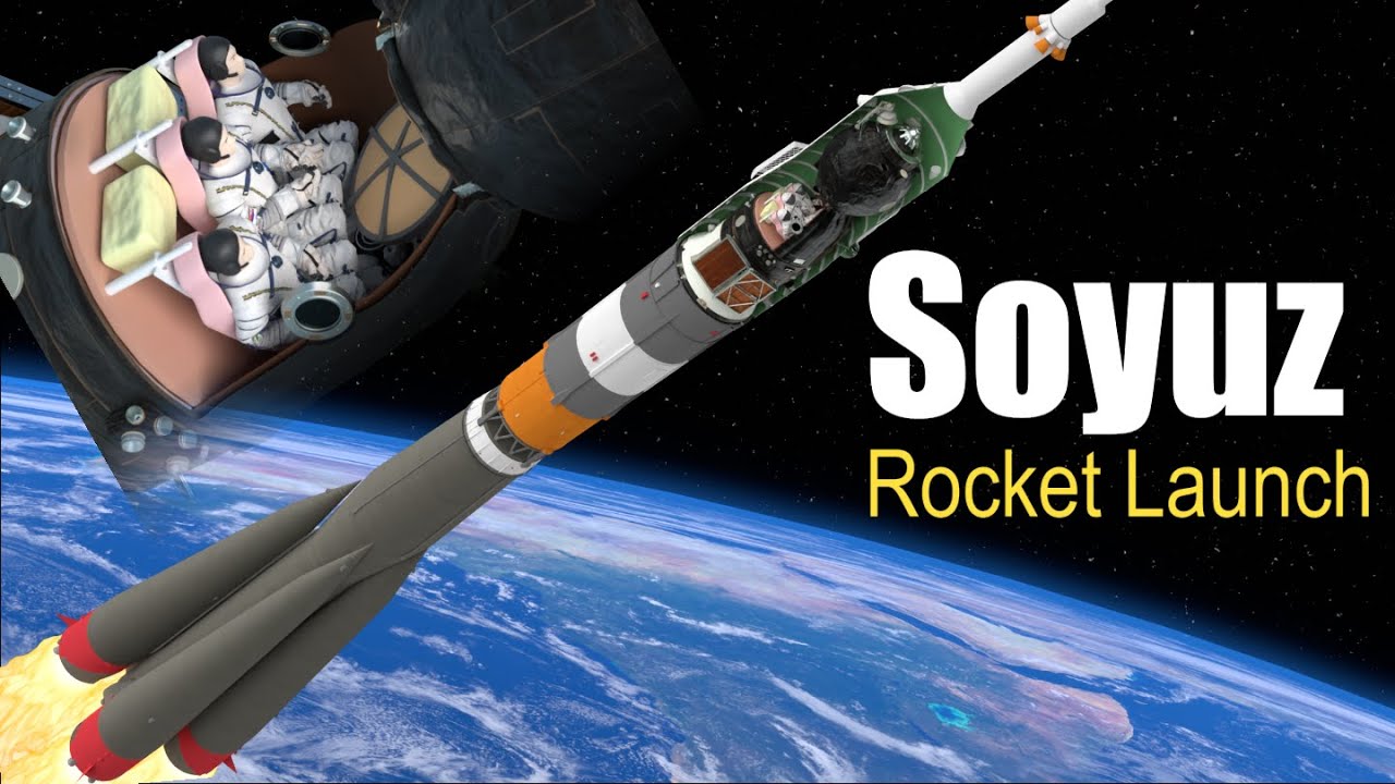
How does the Soyuz Launch work? (and Reentry)

The History of Space Travel | Fun Da Mental Facts
Exploring Our Solar System: Planets and Space for Kids - FreeSchool

SpaceX Just Released Starship Flight 7 Plan, and it is awesome!

Planetang katulad ng Earth, puwede raw tirhan?! | AHA!
5.0 / 5 (0 votes)