Passo a Passo de como fazer/criar o CAR e emitir o Recibo | Curso Básico de Cadastro Ambiental Rural
Summary
TLDRIn this tutorial, viewers are guided step-by-step on how to register a property for the Cadastro Ambiental Rural (CAR) in Brazil. The video explains how to download the registration module, input property and owner details, and add important environmental data like legal reserve areas and protected zones. Viewers will learn how to import georeferenced files, answer environmental questions, and finalize their registration. The process concludes with submitting the CAR via the official website. This video is an essential resource for landowners and those looking to comply with Brazil's environmental regulations.
Takeaways
- 😀 Subscribe to the channel for more tutorials and courses related to environmental cadastral registration.
- 😀 The video is part of a free course available on YouTube about environmental cadastral registration.
- 😀 Start by downloading the cadastral module, which is covered in a separate video on the channel.
- 😀 To register a new property, click 'Register New Property' on the initial screen of the cadastral module.
- 😀 If the property has undergone subdivision, mark 'Yes'; otherwise, mark 'No'.
- 😀 For property registration, select whether the property is rural or urban, and provide detailed descriptions of the property’s location.
- 😀 Make sure to accurately fill in the property owner’s details, such as CPF, name, and other personal information.
- 😀 When entering property documents, select whether it’s ‘Property’ or ‘Possession’, and provide as much document information as possible.
- 😀 Use the cadastral system to import features such as the property area, vegetation remnants, legal reserve, and APPs (Permanent Preservation Areas).
- 😀 In the final steps, ensure all environmental compliance questions are answered based on the property’s specifics, such as vegetation deficit or recovery projects.
- 😀 Once everything is filled out, submit the registration to the CAR (Cadastro Ambiental Rural) website to receive a verification receipt.
Q & A
What is the main focus of the video?
-The video explains how to complete the 'K' registration for a property in the Cadastro Ambiental Rural (CAR) system, detailing step-by-step instructions for the process.
What is the Cadastro Ambiental Rural (CAR)?
-CAR is a nationwide registry that aims to map and monitor the environmental compliance of rural properties in Brazil, ensuring proper environmental protection and sustainable land use.
What is the first step to begin the CAR registration process?
-The first step is to download the Cadastro module, which is available through a video tutorial on the YouTube channel mentioned in the video.
How should the user proceed if the property has been subject to a land subdivision?
-If the property has been subject to a subdivision, the user should select 'Yes' when prompted, otherwise, they should select 'No'.
What should be filled in the 'Property Data' section of the registration?
-In this section, the user must fill out the property's name, state, municipality, postal code, a description of how to access the property, and specify whether the property is in a rural or urban area.
What is the significance of the 'Representative' field in the registration process?
-The 'Representative' field determines whether the person filling out the registration is the property owner or a representative acting on their behalf. If the property owner is directly filling it out, they should choose 'No representative'. If someone else is filling it out for the owner, the representative option should be selected.
What type of documents need to be submitted for the property?
-Users must provide details about the property’s ownership, including documents such as the property's registration number, date, and the type of document proving ownership, depending on whether it’s a personal or corporate property.
How are property features such as vegetation and legal reserves mapped?
-These features are mapped in the 'Etapa Gel' section, where users can import geospatial files (such as shapefiles, KML, or GPX) that describe the property's boundaries, vegetation, and legal reserves.
What is the 'Adhesion to the PRA' field, and how is it filled out?
-The 'Adhesion to the PRA' (Environmental Regularization Program) field is used to indicate if the property is part of a program for environmental regularization. The user should select 'Yes' or 'No' based on their property’s status in relation to the PRA.
What happens after the user completes the registration process?
-After completing the registration, the user can generate a file with a verification code and submit it on the official CAR website. The site will process the file, and the user will receive a receipt confirming their property’s registration.
Outlines

This section is available to paid users only. Please upgrade to access this part.
Upgrade NowMindmap

This section is available to paid users only. Please upgrade to access this part.
Upgrade NowKeywords

This section is available to paid users only. Please upgrade to access this part.
Upgrade NowHighlights

This section is available to paid users only. Please upgrade to access this part.
Upgrade NowTranscripts

This section is available to paid users only. Please upgrade to access this part.
Upgrade NowBrowse More Related Video

TUTORIAL MUDAH MENDAFTAR HAK KEKAYAAN INTELEKTUAL (HKI) ONLINE

IGCSE ICT 0417 June 2020 Paper 21 Document Production
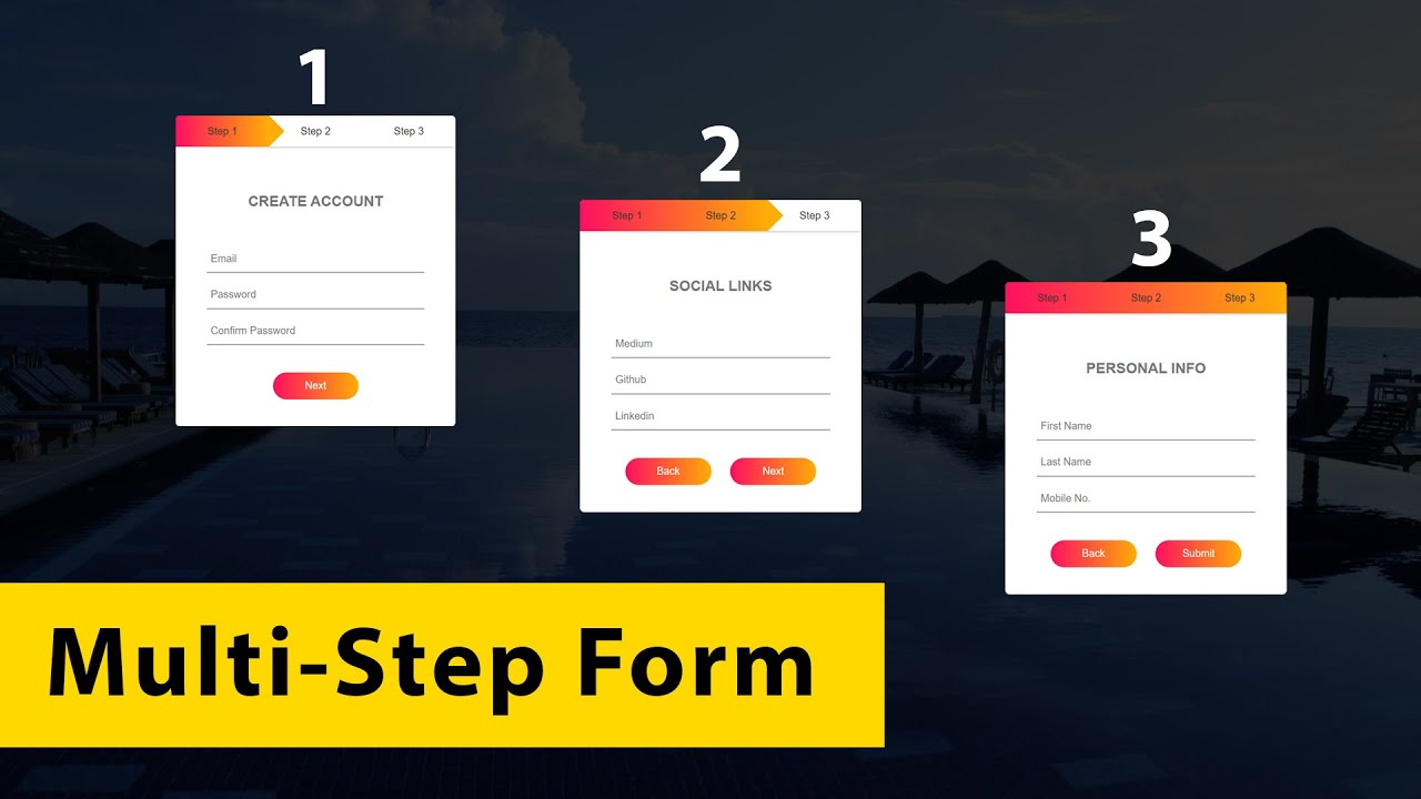
How To Make Form (Multi-Step) Using HTML CSS & JS | Create Form With HTML & CSS

COMO HACER UN CONO DE PAPEL FIGURA GEOMETRICA
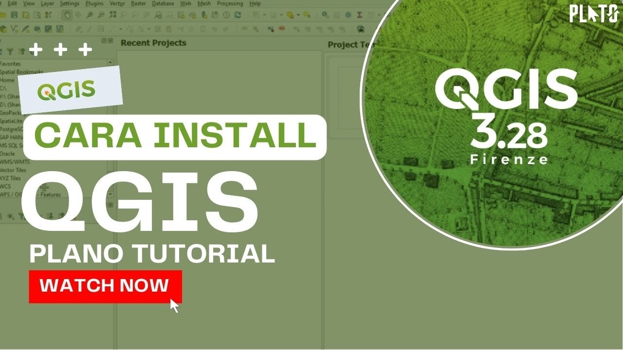
Tutorial Qgis | Cara Mendownload dan Menginstal Qgis | Terbaru 2022

Tutorial on Using Arithmetic Operators in Microsoft Excel
5.0 / 5 (0 votes)