Pegunungan Meratus - Jejak Tabrakan Lempeng yang Rumit Sejak Zaman Jurassic | Episode 48
Summary
TLDRThe video script explores the geological and tectonic history of Kalimantan, Indonesia. It discusses how the island is relatively safe from natural disasters like volcanic eruptions and large earthquakes due to its position away from tectonic plate boundaries. The formation of the Meratus Mountains, shaped by past tectonic collisions and the dynamics of smaller fragments called Terranes, is highlighted. The script also delves into the evolution of Sundaland and the complex subduction and volcanic processes that contributed to the region's geological features, emphasizing the unique natural history of Kalimantan's landscape.
Takeaways
- 😀 Kalimantan Island in Indonesia is geologically the safest from natural disasters like volcanic eruptions, tsunamis, and tectonic earthquakes.
- 😀 The island is protected from plate tectonic collisions by Java, the Philippines, and the Sangihe Islands, making it relatively stable.
- 😀 The Meratus Mountain range, located in the southeastern part of Kalimantan, is a significant geological feature formed by plate collisions millions of years ago.
- 😀 The Meratus Mountains are around 600 km long and span both South and East Kalimantan, with the highest peak, Halau-Halau, reaching 1901 meters above sea level.
- 😀 Meratus Mountains not only offer natural beauty and resources but also hold a record of the tectonic collisions from the Jurassic period.
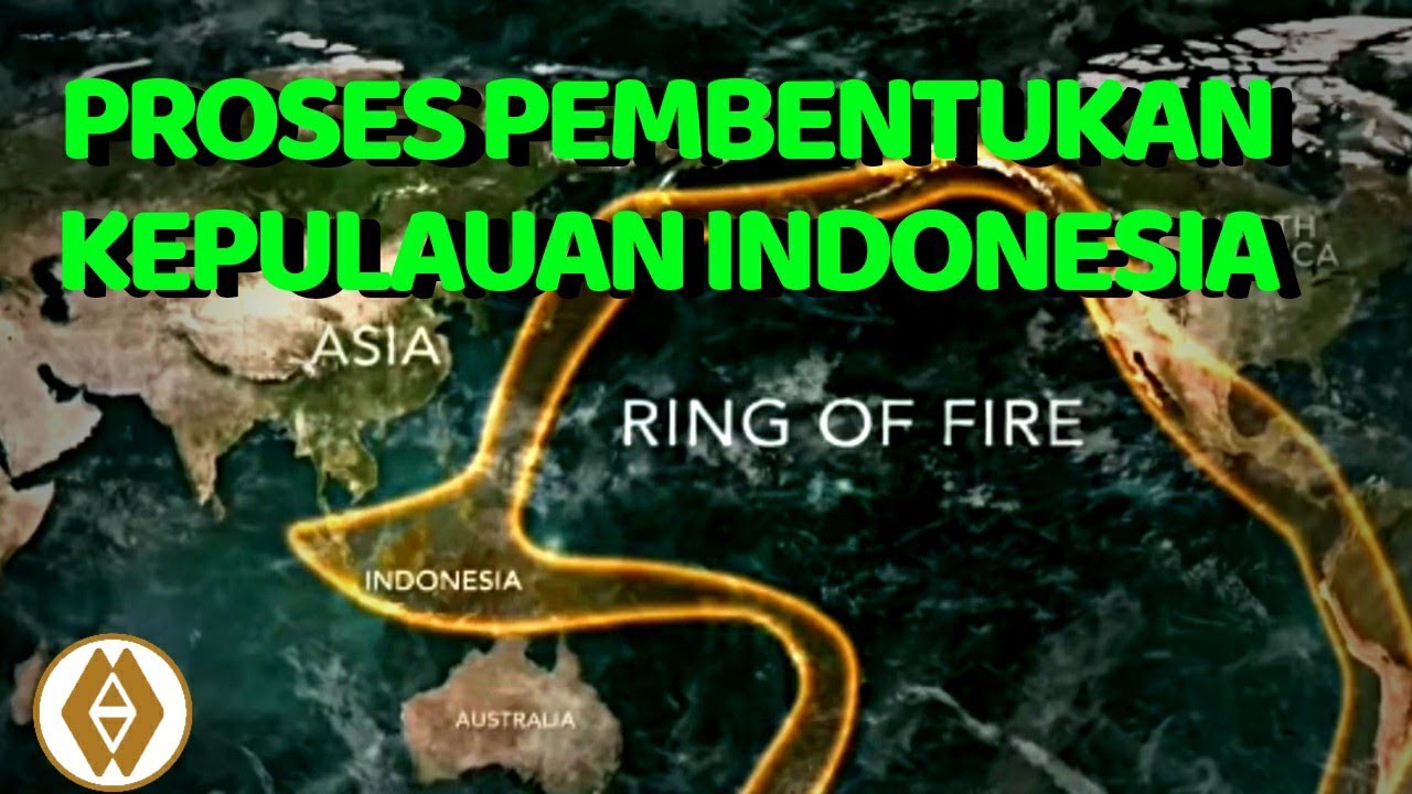
- 😀 The Sundaland region, which includes parts of Indonesia, was formed by the collision and merging of smaller tectonic fragments called terranes.
- 😀 Kalimantan's geological stability is linked to its location away from active tectonic plate boundaries, particularly compared to other Indonesian islands like Sumatra, Java, and Papua.
- 😀 Terranes such as the Southwest Borneo and the East Java-West Sulawesi blocks played a crucial role in shaping the Meratus Mountains.
- 😀 The Meratus Mountains were formed through a process that began in the early Jurassic period, with terrane collisions continuing until the Late Cretaceous.
- 😀 Subduction zones, volcanic activity, and tectonic plate movements contributed to the formation of various geological structures, including the Meratus sutur zone, which is still evident today.
Q & A
What is the geological condition of Kalimantan regarding natural disasters?
-Kalimantan is the safest island in Indonesia in terms of natural disasters. It is not prone to volcanic eruptions, tsunamis, or tectonic earthquakes, unlike other parts of Indonesia such as Sumatra, Java, and Papua.
Why is Kalimantan safe from tectonic earthquakes?
-Kalimantan is located away from tectonic plate boundaries, with the southern part shielded by Java from the Australian Plate collision and the eastern part protected by the Philippines and the Sangihe Islands from plate collisions.
What is the historical significance of the Meratus Mountains?
-The Meratus Mountains, located in the southeastern part of Kalimantan, are significant because they record tectonic plate collisions that occurred during the Jurassic period and are linked to the evolution of Sundaland.
How did the Meratus Mountains form?
-The Meratus Mountains formed due to complex plate collisions that began in the Jurassic period. These collisions involved several microplates, including the Southwest Borneo Plate and the Pater Noster Plate.
What is Sundaland, and how is it related to Kalimantan?
-Sundaland is a platform formed from several small fragments of tectonic plates, including the Eurasian Plate. Kalimantan is part of Sundaland, and its geological history is shaped by the collision of these smaller tectonic fragments.
What is the concept of 'Teran' in plate tectonics?
-A 'Teran' is a small fragment of a tectonic plate that can either form from larger continental pieces or develop independently. These fragments can either merge with larger plates or break away from them, playing a crucial role in the formation of larger geological structures like Sundaland.
What role did the Southwest Borneo and Pater Noster Terranes play in the formation of the Meratus Mountains?
-The Southwest Borneo and Pater Noster Terranes were pivotal in the formation of the Meratus Mountains. The collision between these two terranes, along with the Mesotethys oceanic plate, led to the uplift of the Meratus Mountains and the formation of ophiolitic complexes.
When did the major tectonic collisions that formed the Meratus Mountains occur?
-The tectonic collisions began in the early Jurassic period, around 190 million years ago, and continued into the Cretaceous period, with a significant collision around 110 million years ago during the mid-Cretaceous.
What is the significance of the Meratus Suture Zone?
-The Meratus Suture Zone marks the boundary where different tectonic plates collided, resulting in the uplift of oceanic crust and the formation of geological features like ultramafic rocks, serpentine, and basalt lava flows. This zone is critical for understanding the region's geological history.
How did the volcanic activity in the Meratus region impact its geological structure?
-Volcanic activity in the Meratus region, occurring during the Cretaceous period, led to the formation of volcanic rocks like basalt. However, this volcanic activity did not last long and ceased around the Paleocene, around 66 million years ago, due to tectonic shifts such as the rifting of the Makassar Strait.
Outlines

This section is available to paid users only. Please upgrade to access this part.
Upgrade NowMindmap

This section is available to paid users only. Please upgrade to access this part.
Upgrade NowKeywords

This section is available to paid users only. Please upgrade to access this part.
Upgrade NowHighlights

This section is available to paid users only. Please upgrade to access this part.
Upgrade NowTranscripts

This section is available to paid users only. Please upgrade to access this part.
Upgrade NowBrowse More Related Video


5.0 / 5 (0 votes)