INI DAMPAK KERUSAKAN GEMPA KEMBAR YANG MENGGUNCANG TAPANULI UTARA
Summary
TLDROn March 18, 2025, Tapanuli Utara, Indonesia was struck by twin earthquakes measuring 5.5 and 5.6 in magnitude, causing significant damage. The tremors, occurring just one minute apart, originated from the Sumatera Fault and triggered landslides, burying parts of key national roads in Huta Barat and Lobu Pining. Tragically, one person died due to the landslides. Several public facilities, homes, and infrastructure like bridges and power poles were also damaged. Local authorities have been working to clear debris and assess the full scale of the damage.
Takeaways
- 😀 A pair of earthquakes with magnitudes of 5.5 and 5.6 struck North Tapanuli Regency on the morning of Tuesday, March 18, 2025.
- 😀 The first earthquake occurred at 5:22 AM WIB, with a magnitude of 5.5, located 19 km southeast of North Tapanuli at a depth of 10 km.
- 😀 The second earthquake occurred just one minute later at 5:23 AM WIB, with a magnitude of 5.6, located 14 km southeast of North Tapanuli at a depth of 10 km.
- 😀 The time difference between the two earthquakes was 56 seconds, and the epicenters were 9 km apart.
- 😀 Both earthquakes were caused by tectonic activity along the Sumatra fault, specifically the Toru segment.
- 😀 The earthquakes led to landslides that blocked several national roads, making them inaccessible.
- 😀 Authorities confirmed that the landslides occurred in Huta Barat and Lobu Pining villages in Pahai Julu District, Taput.
- 😀 In Huta Barat, there were two landslide points, and in Lobu Pining, one point, with one house collapsed, killing a resident.
- 😀 The earthquake also caused significant damage to public facilities and houses in affected areas, including Pahijai subdistrict.
- 😀 Some damaged facilities included the Kepala Desa office, a workshop, the Siriaria bridge, and various structures like Idomaret, Sarula market, and fallen electricity poles.
Q & A
What was the magnitude of the first earthquake in Tapanuli Utara on March 18, 2025?
-The first earthquake had a magnitude of 5.5.
What was the magnitude of the second earthquake in Tapanuli Utara on March 18, 2025?
-The second earthquake had a magnitude of 5.6.
What time did the first earthquake occur?
-The first earthquake occurred at 5:22 AM WIB.
How much time passed between the first and second earthquake?
-The second earthquake occurred 1 minute after the first one, at 5:23 AM WIB.
What was the depth of both earthquakes?
-Both earthquakes had a depth of 10 km.
What was the location of the first earthquake's epicenter?
-The first earthquake's epicenter was located 19 km southeast of Tapanuli Utara.
What was the location of the second earthquake's epicenter?
-The second earthquake's epicenter was located 14 km southeast of Tapanuli Utara.
What caused the earthquake activity in Tapanuli Utara?
-The earthquakes were caused by tectonic activity in the Sumatra Fault, specifically the Toru segment.
What damage did the earthquakes cause in Tapanuli Utara?
-The earthquakes caused landslides that blocked national roads, damaged public facilities, and destroyed homes, with one fatality reported.
Which specific areas in Tapanuli Utara were affected by the landslides?
-Landslides affected Desa Huta Barat and Desa Lobu Pining in the Pahai Julu District, with two landslide points in Huta Barat and one in Lobu Pining.
Outlines

This section is available to paid users only. Please upgrade to access this part.
Upgrade NowMindmap

This section is available to paid users only. Please upgrade to access this part.
Upgrade NowKeywords

This section is available to paid users only. Please upgrade to access this part.
Upgrade NowHighlights

This section is available to paid users only. Please upgrade to access this part.
Upgrade NowTranscripts

This section is available to paid users only. Please upgrade to access this part.
Upgrade NowBrowse More Related Video
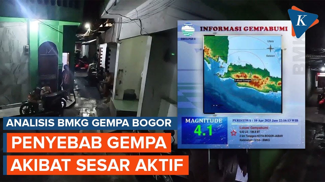
Gempa Bogor M 4,1 Disebabkan Sesar Aktif, Begini Analisis BMKG

Gempa Bengkulu M 6,3 Hari Ini, BMKG Peringatkan Waspada Gempa Susulan
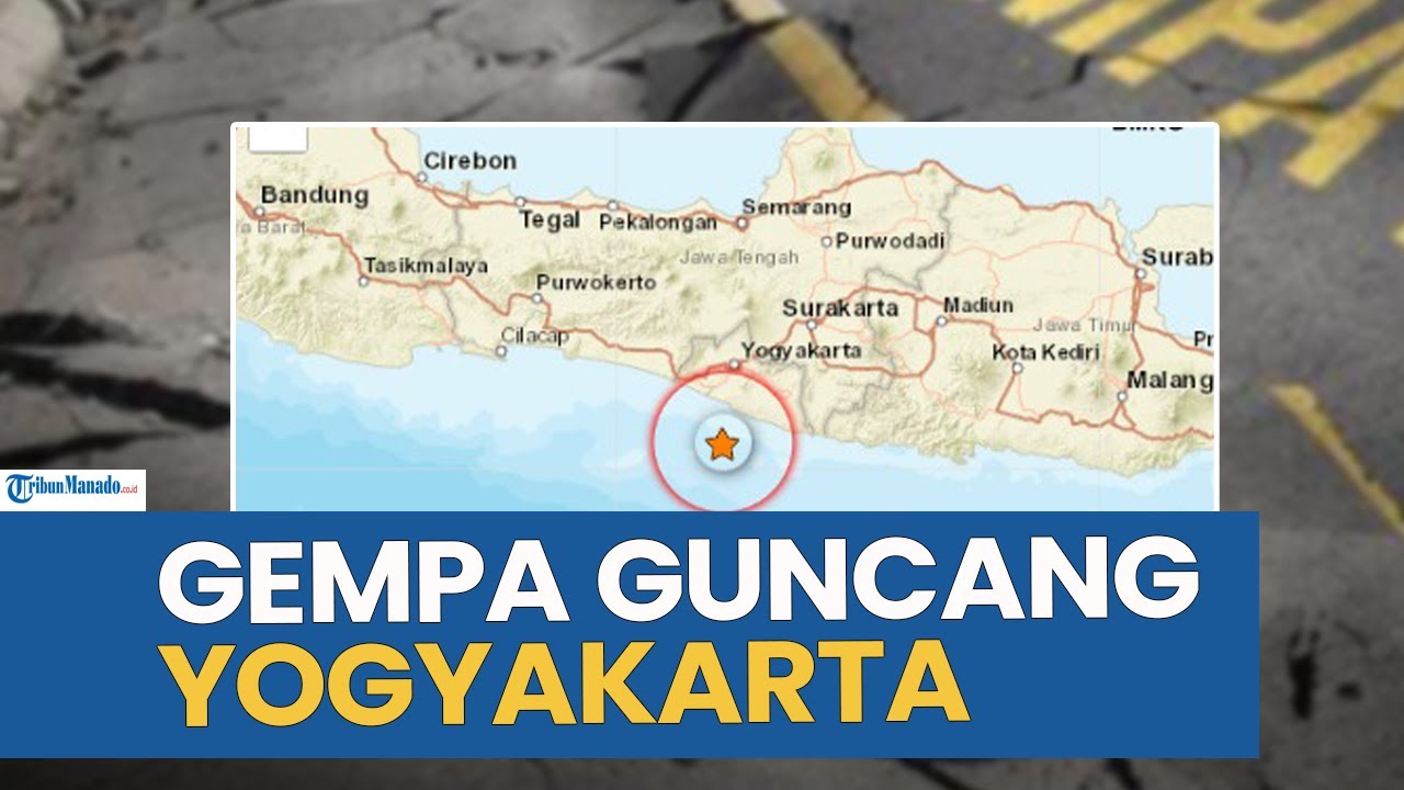
GEMPA BUMI GUNCANG WILAYAH YOGYAKARTA PAGI INI SENIN 15 SEPTEMBER 2025

BPS Catat Kenaikan Inflasi Maret 2025, Capai 1,65% (mtm)

Kasus Dugaan Insinyur RI Curi Data Jet Tempur KF-21, Jadi Perhatian Dubes Korsel

TAURUS March 2025 Forecast - Amazing Predictions!
5.0 / 5 (0 votes)