PELAYARAN DATAR ‼️ PERHITUNGAN HALUAN JAUH ‼️ (haluan Utara Selatan) Part 2
Summary
TLDRThis tutorial focuses on calculating distances in relation to latitude and directions, specifically in north-south and east-west bearings. The instructor explains how to compute the delta of latitude for different bearings, detailing the methods to convert latitude differences into actual distances. Practical examples are provided, with step-by-step calculations to help students understand how to handle north-south and non-similar bearings. The session also covers the process of converting latitude differences into travel distances, emphasizing the importance of understanding these calculations for accurate navigation and measurement.
Takeaways
- 😀 The process of calculating delta latitude (Δ Latitude) is explained in the context of north-south headings, where the difference in latitude corresponds to the distance traveled.
- 😀 For north-south headings, the delta latitude directly equals the distance traveled, as opposed to east-west or diagonal headings, where the calculations are more complex.
- 😀 To calculate the delta latitude for the same hemisphere (either both north or both south), subtract the smaller latitude from the larger latitude.
- 😀 If the two latitudes are in different hemispheres (one in the north and one in the south), the calculation involves adding the absolute differences in the latitudes.
- 😀 To convert the angular distance (in degrees, minutes, and seconds) to distance, one must account for the fact that 1 degree corresponds to 60 nautical miles.
- 😀 When converting minutes and seconds to nautical miles, it is essential to understand the breakdown of degrees, minutes, and seconds into decimal form for accuracy.
- 😀 Example calculations are provided, demonstrating how to convert angular differences in latitude into actual distance traveled using the formula and the conversion of minutes and seconds.
- 😀 The importance of determining whether the latitudes are in the same hemisphere or not is emphasized, as this influences whether you subtract or add the differences.
- 😀 Clear step-by-step examples are given, showing how to handle both same and different hemisphere latitude problems, as well as how to adjust calculations for changes in heading direction.
- 😀 For complex cases where the direction changes (e.g., from south to north or vice versa), it is critical to apply the correct formula for adding or subtracting the latitudinal differences depending on the direction.
- 😀 The instructions conclude with a reminder to practice and apply these concepts to the remaining problems, ensuring that learners understand the method to solve similar problems independently.
Q & A
What is Delta Lintang and how is it related to navigation?
-Delta Lintang is the difference in latitude between two locations. It is used in navigation to determine the distance between points on the Earth's surface, specifically for north-south travel. The Delta Lintang is calculated by subtracting the smaller latitude from the larger one, which gives the difference in degrees. This difference is then converted into a physical distance.
How do you calculate the distance when the latitudes are in the same hemisphere?
-When the latitudes are in the same hemisphere (either both north or both south), you subtract the smaller latitude from the larger latitude to get the Delta Lintang. Then, this difference is converted into a physical distance by using the standard conversion factors (1 degree = 60 minutes, and each minute corresponds to a specific distance in miles).
What is the rule when calculating Delta Lintang for locations in different hemispheres?
-When the latitudes are in different hemispheres (one north and one south), instead of subtracting, you add the absolute values of the latitudes together to get the Delta Lintang. The rest of the calculation follows the same method as for locations in the same hemisphere.
What happens if the latitudes are not 'senama' (same)?
-If the latitudes are not 'senama' (not in the same direction, i.e., one is north and the other is south), the Delta Lintang is calculated by adding the differences in latitude, rather than subtracting. This reflects the fact that you are traveling from one hemisphere to the other, which results in a different calculation approach.
What is the difference in calculating distance between the North and South hemispheres?
-The main difference in calculating distance between the North and South hemispheres is how you handle the latitudes. If both locations are in the same hemisphere, you subtract the smaller latitude from the larger one. However, if they are in different hemispheres, you add the latitudes together before proceeding with the conversion into miles.
Can you explain the conversion of latitude differences into miles?
-To convert the latitude difference into miles, first convert the degrees into minutes (1 degree = 60 minutes). Then, multiply the number of minutes by the distance per minute, which can vary but is typically around 1 mile for every minute of latitude difference. The result gives the physical distance between the two points.
How do you convert minutes into a distance?
-To convert minutes into a distance, you divide the number of minutes by 60 (since there are 60 minutes in a degree) to get a fractional degree. Then, multiply that by the miles equivalent for one degree to get the total distance.
What is the importance of understanding 'haluan' (direction) in this calculation?
-Understanding 'haluan' (direction) is important because it determines whether the latitude difference will be positive or negative. If you're moving from a smaller latitude to a larger latitude in the same hemisphere (north-to-north or south-to-south), you subtract. If you're moving across hemispheres, you add the latitudes. This affects the calculation of the Delta Lintang and ultimately the physical distance.
In the example with a 5° South to 3° South latitude difference, what is the calculation?
-In this case, the Delta Lintang is calculated by subtracting 3° from 5°, giving a result of 2°. This difference is then converted into minutes (2° = 120 minutes), and the corresponding distance is calculated based on the standard conversion of latitude minutes into miles.
What does it mean when two latitudes are 'senama' (same)?
-When two latitudes are 'senama' (the same), it means both locations are either in the northern or southern hemisphere, and their latitudes are in the same direction (either both north or both south). This allows you to simply subtract the smaller latitude from the larger latitude to calculate the Delta Lintang and proceed with the distance conversion.
Outlines

This section is available to paid users only. Please upgrade to access this part.
Upgrade NowMindmap

This section is available to paid users only. Please upgrade to access this part.
Upgrade NowKeywords

This section is available to paid users only. Please upgrade to access this part.
Upgrade NowHighlights

This section is available to paid users only. Please upgrade to access this part.
Upgrade NowTranscripts

This section is available to paid users only. Please upgrade to access this part.
Upgrade NowBrowse More Related Video
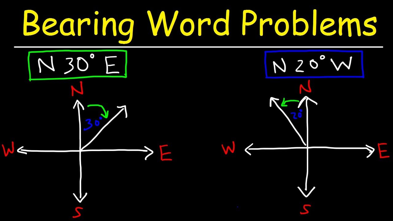
Bearing Problems & Navigation

PELAYARAN DATAR ‼️ PERHITUNGAN HALUAN JAUH ‼️ [Haluan Serong] part 1
Latitude and Longitude-Hommocks Earth Science Department
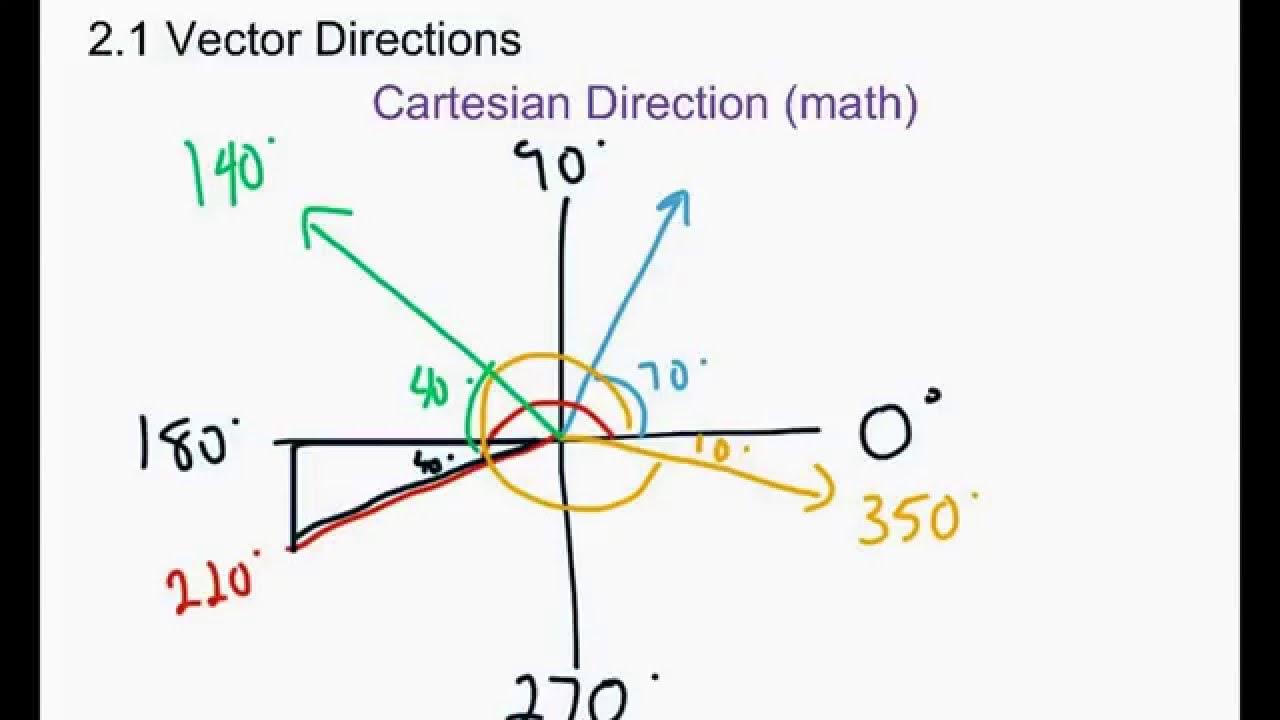
Physics 20: 2.1 Vector Directions

Solve Word Problem with Bearings | Law of Sines AAS

PELAYARAN DATAR ‼️ PERHITUNGAN HALUAN JAUH ‼️ [haluan Timur Barat] part 1
5.0 / 5 (0 votes)