ESCALA CARTOGRÁFICA
Summary
TLDRIn this engaging video, Tio Tobi explains the concept of cartographic scale, illustrating how it represents the relationship between reality and maps. Using relatable examples, such as action figures and city distances, he walks viewers through graphical and numerical scales, explaining how to interpret them and convert units like centimeters to kilometers. He also covers the differences between small and large scales, showing how small scales are used for global maps, while large scales provide detailed views of cities or neighborhoods. The video aims to help viewers grasp these concepts for exams and real-world applications.
Takeaways
- 😀 A cartographic scale is the relationship between real-world distances and their representation on paper, indicating how many times the real space has been reduced to fit the map.
- 😀 Cartographic scales can be used not only for maps but also for creating models, toys, and statues, as they maintain proportionality between the original and the scaled version.
- 😀 A key distinction between two types of action figures is that one maintains proportions (head, body, arms, legs) using a cartographic scale, while the other does not.
- 😀 Cartographic scales are usually represented either graphically or numerically. The graphic scale is the most commonly used and keeps proportionality even if the map is enlarged or reduced.
- 😀 The graphic scale is simple to understand because each segment corresponds to a specific real-world distance, such as 1 cm on the map equaling 50 km in reality.
- 😀 The numerical scale is less commonly used in maps but is frequently seen in exams. It requires conversions from centimeters to kilometers for real-world distances.
- 😀 Numerical scales are written as ratios (e.g., 1:100,000 or 1:150 million), showing how much the real-world space has been reduced to fit on the map.
- 😀 To calculate real-world distances from a map using a numerical scale, simply multiply the distance on the map by the scale's value.
- 😀 Converting from centimeters to kilometers can be done easily by using a metric scale, which involves moving decimal points (cutting zeros) five places to the left for this specific conversion.
- 😀 The difference between small and large scales lies in the level of detail; small scales cover large areas but with less detail, while large scales show small areas in great detail. Small scales are typically used for global or continental maps, and large scales are used for city maps.
Q & A
What is a cartographic scale and why is it important?
-A cartographic scale is the relationship between reality and the representation of that reality on paper. It indicates how many times the real space has been reduced to fit on the map, maintaining proportions. This is important because it helps accurately represent large areas in a manageable size.
Can cartographic scales be used for anything other than maps?
-Yes, cartographic scales are not only used in maps but also in creating large statues, toys like cars and dolls, and many other models where proportional reduction is needed.
What is the difference between a model of Iron Man with and without using a scale?
-A model of Iron Man without using a scale may have distorted proportions, such as an oversized head or disproportionately long limbs. On the other hand, a model made with a scale maintains accurate proportions, ensuring the body parts are in correct relation to each other.
What are the two ways cartographic scales can be represented?
-Cartographic scales can be represented graphically or numerically. The graphical scale is often used in maps and directly shows the relationship between distances on the map and in reality. The numerical scale shows the reduction of real distances using numbers.
What is the advantage of using a graphical scale?
-The advantage of a graphical scale is that it maintains proportion even when the map is enlarged or reduced. This is because the graphical scale is part of the map itself and adjusts automatically with the size change.
How is a numerical scale read, and what does it represent?
-A numerical scale is read as a ratio, such as 1:100,000. This means that 1 unit on the map represents 100,000 units in reality. It shows how many times the real space has been reduced.
How can you calculate the real distance using a numerical scale?
-To calculate the real distance, measure the distance between two points on the map, then multiply it by the scale. For example, if the distance between two cities on the map is 5 cm and the scale is 1:150,000,000, the real distance is 750 million centimeters.
What is the process for converting centimeters to kilometers?
-To convert from centimeters to kilometers, move five decimal places to the left. This means dividing by 100,000. For example, 750 million centimeters equals 7,500 kilometers.
What is the 'Simão Metric Scale' and how is it used in conversions?
-The 'Simão Metric Scale' is a system used to convert measurements, starting with meters and moving through decimeters, centimeters, and millimeters, or larger units like decameters, hectometers, and kilometers. To convert centimeters to kilometers, you move five decimal places to the left.
What is the difference between a small-scale map and a large-scale map?
-A small-scale map shows less detail but covers a larger area, such as a map of the entire planet. A large-scale map shows more detail but represents a smaller area, like a city or neighborhood.
Outlines

This section is available to paid users only. Please upgrade to access this part.
Upgrade NowMindmap

This section is available to paid users only. Please upgrade to access this part.
Upgrade NowKeywords

This section is available to paid users only. Please upgrade to access this part.
Upgrade NowHighlights

This section is available to paid users only. Please upgrade to access this part.
Upgrade NowTranscripts

This section is available to paid users only. Please upgrade to access this part.
Upgrade NowBrowse More Related Video

ESCALA CARTOGRÁFICA - GEOBRASIL {PROF. RODRIGO RODRIGUES}

CONCEITOS BÁSICOS (demografia 1/4)
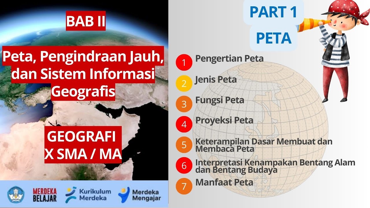
BAB 2 PETA, PENGINDRAAN JAUH, DAN SISTEM INFORMASI GEOGRAFIS | GEOGRAFI X SMA/MA | KURIKULUM MERDEKA

What is a Map? Crash Course Geography #2

Types of Maps and Map Scale - Beginning Social Studies 2 for Kids!
Belajar Menghitung Skala Suplemen Modul
5.0 / 5 (0 votes)