KELOMPOK KERJA JARING KONTROL HORIZONTAL DAN GEODINAMIKA
Summary
TLDRThis video explains the importance of Indonesia's geodetic reference stations, particularly Inna Core and GKHN, which play a critical role in geospatial activities such as surveying, mapping, and disaster mitigation. These stations utilize GNSS antennas, meteorological sensors, and real-time data streaming to provide precise, millimeter-level positioning. They are part of a broader network managed by the Geospatial Information Agency (BIG) and are essential for applications like tsunami early warning and atmospheric studies. The stations support accurate geospatial data for the public, with routine maintenance ensuring their continuous functionality.
Takeaways
- 😀 The course or Indonesia continuously operates Reference Stations as part of the geodetic control network managed by the Geospatial Information Agency (BIG).
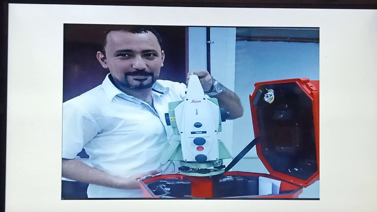
- 😀 Inna core systems include components like GNSS antenna and receiver, meteorological sensors, internet connections for data streaming, and supporting components.
- 😀 The GKhn (National Horizontal Control Network) has been managed by BIG since the late 1980s, contributing to the physical representation of Earth's surface.
- 😀 BIG has built 280 Inna cores and manages 1,416 GKhn and pillars across Indonesia, playing a significant role in geospatial data management.
- 😀 The GKhn and Inna core systems contribute to the SRGI 2013 datum implementation and are accessible to the public via the SRGI website.
- 😀 Data quality and routine monitoring of Inna core equipment are top priorities, with regular maintenance and issue resolution to ensure operational stability.
- 😀 Inna cores are critical in supporting survey and mapping activities, disaster mitigation, volcano monitoring, and atmospheric studies.
- 😀 Real-time kinematic services from Inna cores allow for high-precision surveying and mapping, with a range of up to 50 kilometers and accuracy up to 1 cm.
- 😀 GNSS data from Inna core stations is processed to provide high-precision vector patterns and monitor station movements at the millimeter level.
- 😀 Meteorological sensors in Inna core systems contribute to extracting valuable information like total electron content (TEC) and precipitable water vapor (PWV).
- 😀 Inna core systems play a key role in the Indonesian tsunami early warning system (RTGNSS), processing real-time GNSS observation data to track position changes every second.
Q & A
What is an Inna course in the context of geodetic control?
-An Inna course is a permanent geodetic observation station that forms part of the geodetic control network, managed by the Geospatial Information Agency (BIG) in Indonesia. It plays a key role in establishing and maintaining geospatial reference points for surveying, mapping, and other geospatial activities.
What are the primary components of an Inna course?
-The primary components of an Inna course include a GNSS antenna and receiver, a meteorological sensor, internet connection for streaming data, and other supporting components.
How is the Geodetic Control Network (GKHN) managed in Indonesia?
-The Geodetic Control Network (GKHN) is managed by BIG and has been in place since the late 1980s. The management involves setting state-of-the-art coordinate values and conducting physical checks of the network's pillars.
How many Inna courses and GKHN pillars have been built and managed in Indonesia?
-By 2021, the Center for Geodetic Control and Geodynamics has built 280 Inna courses and manages 1,416 GKHN pillars across Indonesia.
What is the SRGI 2013 datum and how is it used?
-The SRGI 2013 datum is part of the geodetic reference system used in Indonesia. The data from Inna courses and GKHN pillars, which have been disseminated as part of this datum, can be accessed by the public via the SRGI website.
How is data quality ensured in the Inna course system?
-Data quality is ensured through routine monitoring and maintenance. Software is used to process and convert data for the benefit of the wider community, and Inna course equipment is regularly maintained, with immediate repairs if damage occurs.
What are the primary applications of Inna courses and GKHN in Indonesia?
-Inna courses and GKHN support various activities such as surveying, mapping, disaster mitigation, volcano monitoring, and atmospheric studies.
How does real-time kinematic (RTK) GNSS benefit surveying and mapping?
-RTK GNSS is the most effective method for accelerating survey and mapping tasks. By using an Inna course as a base station, users can achieve a high level of precision (up to 1 centimeter) within a range of up to 50 kilometers.
What is the role of meteorological sensors in the Inna course system?
-Meteorological sensors in Inna courses help collect data that can be used to derive information such as Total Electron Content (TEC) and Precipitable Water Vapor (PWV), which are important for atmospheric studies.
What is the RTGNSS system and how does it contribute to tsunami early warning?
-The RTGNSS (Real-Time GNSS) system in Indonesia uses Inna course stations to provide real-time GNSS data every second. This data is processed using RTGNSS software to generate precise position information, contributing to the Indonesian Tsunami Early Warning System.
Outlines

This section is available to paid users only. Please upgrade to access this part.
Upgrade NowMindmap

This section is available to paid users only. Please upgrade to access this part.
Upgrade NowKeywords

This section is available to paid users only. Please upgrade to access this part.
Upgrade NowHighlights

This section is available to paid users only. Please upgrade to access this part.
Upgrade NowTranscripts

This section is available to paid users only. Please upgrade to access this part.
Upgrade NowBrowse More Related Video


5.0 / 5 (0 votes)