How data-driven farming could transform agriculture | Ranveer Chandra | TEDxUniversityofRochester
Summary
TLDRThe speaker addresses the critical issue of increasing global food production by 70% by 2050 to feed the growing population. They highlight the challenges of limited arable land and receding water levels, proposing data-driven farming and precision agriculture as solutions. By using technologies like TV white spaces, UAVs, and machine learning, the FarmBeats project aims to reduce the cost of data-driven agriculture, making it accessible to smallholder farmers worldwide. The goal is to improve yields, reduce costs, and benefit the environment by enabling precise, site-specific applications of resources like water and pesticides.
Takeaways
- 🌱 The world's food production needs to increase by 70% by 2050 to feed the growing population, highlighting the urgency of the global food problem.
- 📈 Data-driven farming is a promising approach to significantly increase food production by leveraging data to optimize farming practices.
- 🚜 Precision agriculture, which involves site-specific applications of water and pesticides, can improve yield, reduce costs, and benefit the environment.
- 🌡️ Mapping soil moisture and nutrient levels throughout a farm can enable more precise farming techniques and is crucial for data-driven farming.
- 💡 The Farm Beats project at Microsoft aims to reduce the cost of data-driven agriculture solutions by two orders of magnitude, making it more accessible to farmers.
- 📶 Internet connectivity in farms is often expensive and limited, hindering the adoption of data-driven farming technologies.
- 📡 TV white spaces technology can provide cost-effective connectivity in rural areas, enabling the use of data-driven farming solutions.
- 🤖 Using UAVs (drones) and machine learning, it's possible to create detailed maps of farms with fewer sensors, reducing the cost of data collection.
- 🎈 Tethered helium balloons with cameras can be a low-cost alternative to drones for capturing aerial imagery of farms.
- 🖥️ Local processing of data on a farmer's PC can overcome connectivity issues and provide real-time insights without the need for internet.
- 🔢 Farm Beats has demonstrated high accuracy in predicting soil conditions, which can be as reliable as direct sensor measurements for decision-making.
Q & A
What is the projected increase in world food production needed by 2050 to feed the growing population?
-The world's food production needs to increase by 70% by 2050 to feed the growing population.
Why is the increase in food production necessary not just to feed but also to nourish the world's population?
-The necessity to nourish the world's population makes the problem of increasing food production even more severe due to limited arable land and receding water levels.
What is data-driven farming and how does it relate to solving the world's food problem?
-Data-driven farming refers to the ability to map every farm in the world and overlay it with various data, such as soil moisture and nutrient levels. This approach can enable techniques like precision agriculture, potentially increasing food production.
What is precision agriculture and how does it benefit farming practices?
-Precision agriculture is the ability to apply water, pesticides, and other inputs uniformly or site-specifically only where it is needed. It improves yield, reduces costs by using fewer resources, and is environmentally friendly by avoiding overuse of pesticides and water.
What is phenotyping in agriculture and how does it differ from genotyping?
-Phenotyping in agriculture is the process of understanding why the same seed variety grows differently in different parts of a farm. Unlike genotyping, which focuses on the genetic makeup of plants, phenotyping observes the physical characteristics and growth patterns influenced by environmental factors.
What is the Farm Beats project and what is its main goal?
-The Farm Beats project, led by Microsoft, aims to significantly reduce the cost of data-driven agriculture solutions by two orders of magnitude, making it more accessible to farmers and potentially revolutionizing farming practices.
Why has the adoption of precision agriculture technology been slow despite its benefits?
-The slow adoption of precision agriculture technology is primarily due to the high cost of existing data-driven agriculture solutions, which can be prohibitive for many farmers.
What is the TV white spaces technology and how does it benefit agriculture?
-TV white spaces technology utilizes unused TV spectrum to provide long-range Wi-Fi-like connectivity. In agriculture, it can be used to connect remote farms to the internet, enabling the transmission of data from sensors and other devices.
How does the use of UAVs or drones contribute to creating accurate farm maps?
-UAVs or drones equipped with cameras can quickly cover large areas of a farm and take images. Combined with artificial intelligence and machine learning, these images can be used to interpolate data from a few sensors and predict soil conditions across the entire farm.
What is the challenge with using drones for aerial imagery in remote parts of the world, and how is it being addressed?
-The cost of drones and regulatory restrictions can limit their use in remote areas. To address this, tethered helium balloons with mounted smartphones are used to capture aerial imagery at a lower cost and without the need for special permissions.
How does the Farm Beats project handle the issue of limited internet connectivity from the farmer's house to the cloud?
-The project uses a PC-based system that processes data from sensors and drones locally, reducing the need for high-speed internet. It also compresses and sends only necessary data to the cloud, ensuring that the system can run even with limited connectivity.
What kind of actionable insights can the Farm Beats system provide to farmers?
-The Farm Beats system can provide insights such as soil moisture levels, pH levels, and the growth patterns of crops. It can also monitor animal health and movement, and flag areas that require attention, such as water puddles or acidic soil patches.
How accurate are the predictions made by the Farm Beats system compared to actual sensor measurements?
-The predictions made by the Farm Beats system are so close to the actual sensor measurements that they are considered actionable by farmers, providing reliable data for making informed decisions.
Outlines

Этот раздел доступен только подписчикам платных тарифов. Пожалуйста, перейдите на платный тариф для доступа.
Перейти на платный тарифMindmap

Этот раздел доступен только подписчикам платных тарифов. Пожалуйста, перейдите на платный тариф для доступа.
Перейти на платный тарифKeywords

Этот раздел доступен только подписчикам платных тарифов. Пожалуйста, перейдите на платный тариф для доступа.
Перейти на платный тарифHighlights

Этот раздел доступен только подписчикам платных тарифов. Пожалуйста, перейдите на платный тариф для доступа.
Перейти на платный тарифTranscripts

Этот раздел доступен только подписчикам платных тарифов. Пожалуйста, перейдите на платный тариф для доступа.
Перейти на платный тарифПосмотреть больше похожих видео
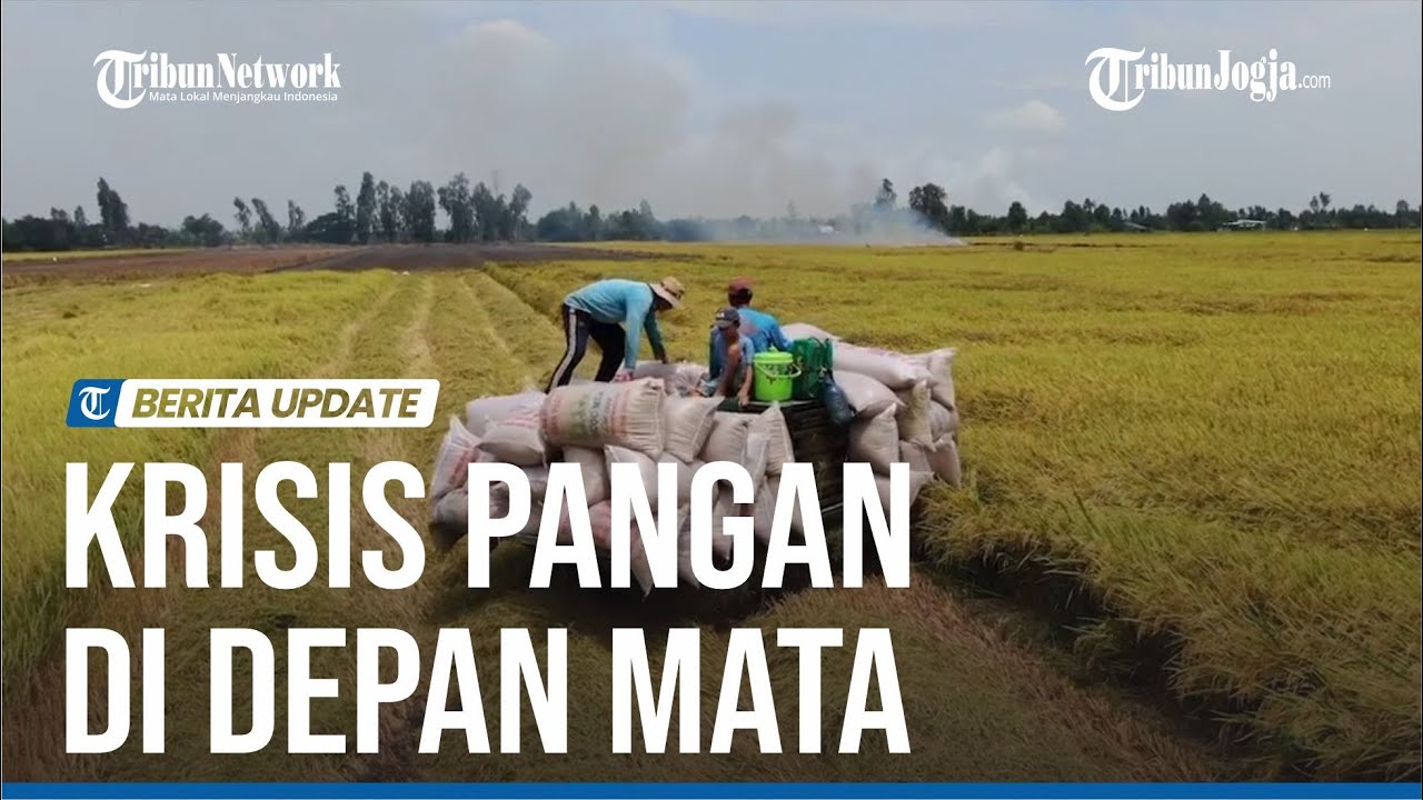
KRISIS PANGAN DI DEPAN MATA, BEGINI PENJELASAN PENGAMAT PERTANIAN

Tristram Stuart: The Beauty of Ugly Food | Nat Geo Live

Population growth and food supply-- bottom up or top down? | Tom Wilson | TEDxTucsonSalon

Go nature. Go carton.

2050 Krisis Daging dan Protein!! Serangga adalah solusinya!! Siapkah Anda?! | EDIBLE INSECT -MK PSMB

Journey 2050 Lesson 1: Sustainable Agriculture | Self-Guided Experience
5.0 / 5 (0 votes)
