3P Rika Mayoli
Summary
TLDRThis presentation covers disaster mitigation strategies in Kabupaten Karo, North Sumatra. It discusses the region's population, geomorphology, and history of natural disasters such as volcanic eruptions, landslides, floods, and tornadoes. The speaker outlines disaster risk assessments, including hazard, vulnerability, and capacity evaluations, which guide mitigation measures. Key strategies involve reducing exposure to hazards, minimizing vulnerability, and strengthening local disaster management capacities. The importance of disaster insurance and financing is also highlighted, focusing on risk management based on the frequency and severity of disasters. The presentation emphasizes comprehensive approaches to disaster preparedness and response.
Takeaways
- 😀 Karo Regency, located in North Sumatra, is in the Bukit Barisan mountain range, with predominantly highland terrain.
- 😀 The population of Karo Regency, according to the 2010 census, is 350,960 people, with Kabanjahe having the highest density and Kuta Buluh the lowest.
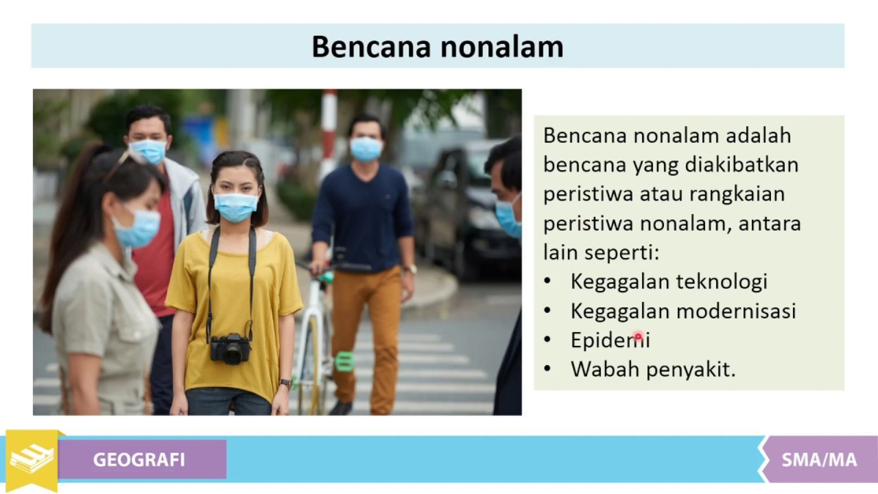
- 😀 Karo Regency experiences various types of natural disasters, including volcanic eruptions, landslides, floods, and tornadoes.
- 😀 The region's topography consists of steep hills, valleys, and deep riverbeds, which make it prone to certain disasters like landslides and floods.
- 😀 Volcanic eruptions from Mount Sinabung and Sibayak have impacted Karo, with Sinabung affecting nine districts in the region.
- 😀 Karo's disaster history includes multiple occurrences of floods, landslides, and tornadoes, with the most frequent being flooding.
- 😀 The areas of Lau Baleng and Marine Dingin are highly vulnerable to disaster risks, especially volcanic eruptions and landslides.
- 😀 Risk assessments should be conducted to determine potential negative impacts, including the number of people affected and environmental damage.
- 😀 Mitigation strategies in Karo involve reducing hazard exposure, lowering vulnerability, and strengthening the region's disaster response capacity.
- 😀 Disaster financing, including insurance, is crucial to support the reconstruction phase after a disaster, with funding strategies based on the frequency and severity of disasters.
Q & A
What is the focus of Sherika's presentation?
-Sherika's presentation focuses on disaster mitigation in Karo Regency, North Sumatra, specifically addressing the region's disaster risks and the strategies for mitigating those risks.
Where is Karo Regency located?
-Karo Regency is located in North Sumatra Province, Indonesia, in the Bukit Barisan mountain range. This results in a mostly highland topography with various valleys and steep slopes.
What are the main types of natural disasters in Karo Regency?
-The main natural disasters in Karo Regency include volcanic eruptions, landslides, floods, and tornadoes. These events have occurred multiple times in the past decade.
What is the population of Karo Regency according to the 2010 census?
-According to the 2010 census, Karo Regency has a population of 350,960 people.
Which area in Karo has the highest population density?
-Kabanjahe, one of the districts in Karo Regency, has the highest population density.
What is the highest elevation in Karo Regency?
-The highest elevation in Karo Regency is approximately 2451 meters above sea level.
What are the two main volcanoes in Karo that pose a disaster risk?
-The two main volcanoes in Karo Regency that pose a disaster risk are Mount Sibayak and Mount Sinabung.
What is the primary strategy for disaster mitigation in Karo?
-The primary strategy for disaster mitigation in Karo involves conducting risk assessments, reducing exposure to hazards, minimizing vulnerabilities, and enhancing the region's capacity to cope with disasters.
What role does disaster insurance play in Karo's disaster mitigation?
-Disaster insurance plays a crucial role in financing disaster recovery and providing financial protection for the government, the private sector, and the community after a disaster occurs.
How does the risk assessment process help in disaster mitigation in Karo?
-The risk assessment process helps by identifying potential disaster impacts on lives, property, and the environment. It also guides the creation of risk maps and informs policy decisions for effective disaster management.
Outlines

このセクションは有料ユーザー限定です。 アクセスするには、アップグレードをお願いします。
今すぐアップグレードMindmap

このセクションは有料ユーザー限定です。 アクセスするには、アップグレードをお願いします。
今すぐアップグレードKeywords

このセクションは有料ユーザー限定です。 アクセスするには、アップグレードをお願いします。
今すぐアップグレードHighlights

このセクションは有料ユーザー限定です。 アクセスするには、アップグレードをお願いします。
今すぐアップグレードTranscripts

このセクションは有料ユーザー限定です。 アクセスするには、アップグレードをお願いします。
今すぐアップグレード関連動画をさらに表示

RAGAM BUDAYA KHAS SUKU BATAK KARO | CERITA RAKYAT NUSANTARA

Indonesia Rangking Tertinggi Negara Rawan Bencana?

Pengertian & Jenis-Jenis Mitigasi Bencana #kumer Geografi Klas XI Smt 2

Banjir Bandang dan Tanah Longsor | Kabar Utama Pagi tvOne
Materi Mitigasi Bencana | Pengertian Bencana | Kelas XI SMA
Mitigasi Untuk Jenis Bencana di Indonesia #kumer
5.0 / 5 (0 votes)
