Philippine Area of Responsibility | Grade 8 Science DepEd MELC Quarter 2 Module 4
Summary
TLDRThis video educates viewers on tracking typhoons using the Philippine Area of Responsibility (PAR), defined by specific latitude and longitude coordinates. It explains the significance of these coordinates and how they delineate PAR. The video also covers tropical cyclone categories, from tropical depression to super typhoon, and the public storm warning signal system, which ranges from signal one to signal five, detailing the expected wind speeds and potential damages for each signal.
Takeaways
- 🌍 The Philippine Area of Responsibility (PAR) is the monitoring domain closest to the Philippine islands, tasked with tracking typhoons.
- 📏 PAR is defined by specific latitude and longitude coordinates in the western North Pacific.
- 🌐 Understanding latitude and longitude is crucial for plotting and tracking typhoons within the PAR.
- 📍 Plotting the coordinates (5°N, 115°E; 15°N, 115°E; 21°N, 120°E; 25°N, 135°E; 5°N, 135°E) helps in defining the PAR on a map.
- 🌀 PAGASA (Philippine Atmospheric, Geophysical and Astronomical Services Administration) is responsible for monitoring tropical cyclones within the PAR.
- 📉 By plotting the latitude and longitude from tracking data, one can forecast the path and direction of typhoons.
- 🌪 Tropical cyclones are categorized based on wind speed: Tropical Depression (up to 64 km/h), Tropical Storm (up to 118 km/h), Typhoon (200 km/h and above), and Super Typhoon.
- ⚠️ The Public Storm Warning Signal system provides alerts based on expected wind speeds and potential damage.
- 🏠 Signal numbers range from one to five, with five indicating Super Typhoon strength with winds over 220 km/h and significant damage expected.
- 📈 Tracking and understanding typhoon data is vital for public safety and disaster preparedness.
Q & A
What is the Philippine Area of Responsibility (PAR)?
-The Philippine Area of Responsibility (PAR) is the smallest and innermost monitoring domain whose boundary is closest to the Philippine islands, responsible for monitoring tropical cyclones that enter this area.
What are the exact dimensions of the PAR?
-The PAR is bounded by imaginary lines connecting coordinates at 5 degrees north and 115 degrees east, 15 degrees north and 115 degrees east, 21 degrees north and 120 degrees east, 25 degrees north and 135 degrees east, and 5 degrees north and 135 degrees east.
What is the role of the Philippine Atmospheric, Geophysical and Astronomical Services Administration (PAGASA) in relation to PAR?
-PAGASA is responsible for monitoring all tropical cyclones that enter the PAR.
How can one determine if a typhoon is within the PAR?
-By plotting the coordinates of the typhoon and checking if they fall within the region bounded by the PAR's coordinates.
What is the significance of latitude and longitude in tracking typhoons?
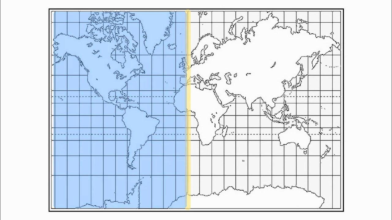
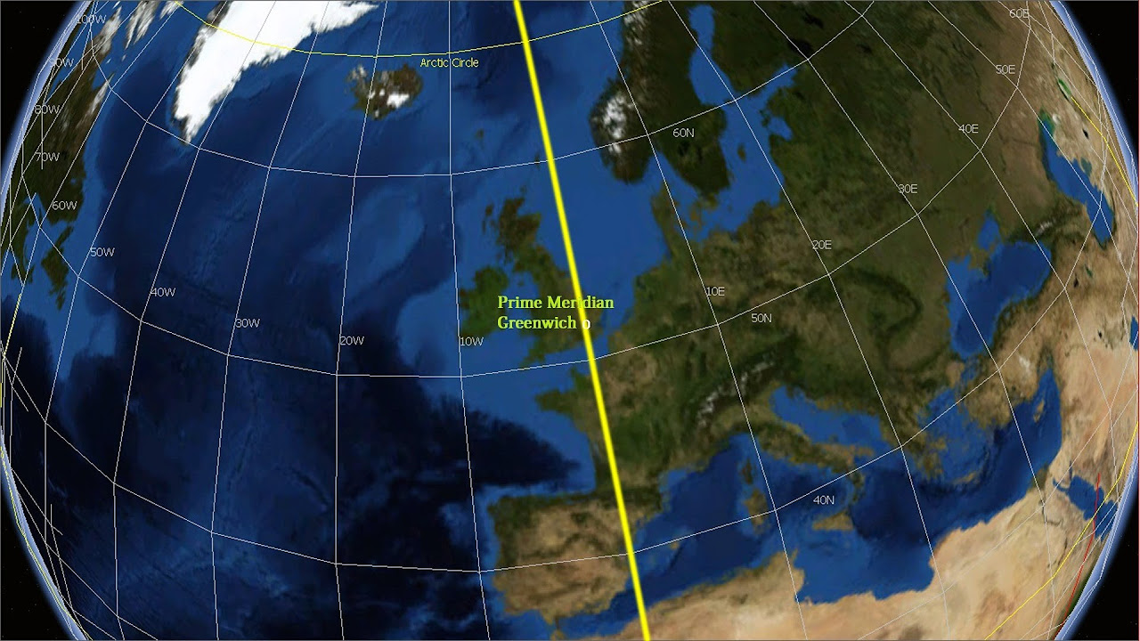
-Latitude and longitude are geographic coordinates that determine the distance of a point north to south of the equator and east to west of the prime meridian, respectively, and are used to plot and track the location of typhoons.
What are the different categories of tropical cyclones?
-The categories are tropical depression (max wind speed of 64 km/h), tropical storm (max wind speed up to 118 km/h), typhoon (max wind speed of 200 km/h), and super typhoon (intensifies further from typhoon).
How does the public storm warning signal system work?
-The system provides information on expected wind speeds and potential damages, with signal numbers ranging from one to five, each indicating increasing severity of the typhoon.
What actions should be taken during a signal number three storm warning?
-Avoid riding in any seacraft, seek shelter in strong buildings, evacuate from low-lying areas, and stay away from coast and riverbanks.
What is the difference between a typhoon and a super typhoon?
-A typhoon is categorized when it reaches a maximum wind speed of 200 km/h, while a super typhoon occurs when the typhoon further intensifies.
Can you provide an example of a super typhoon?
-Typhoon Yolanda in 2013 is an example of a super typhoon.
Outlines

Cette section est réservée aux utilisateurs payants. Améliorez votre compte pour accéder à cette section.
Améliorer maintenantMindmap

Cette section est réservée aux utilisateurs payants. Améliorez votre compte pour accéder à cette section.
Améliorer maintenantKeywords

Cette section est réservée aux utilisateurs payants. Améliorez votre compte pour accéder à cette section.
Améliorer maintenantHighlights

Cette section est réservée aux utilisateurs payants. Améliorez votre compte pour accéder à cette section.
Améliorer maintenantTranscripts

Cette section est réservée aux utilisateurs payants. Améliorez votre compte pour accéder à cette section.
Améliorer maintenantVoir Plus de Vidéos Connexes
5.0 / 5 (0 votes)


