PELAYARAN DATAR ‼️ PERHITUNGAN HALUAN JAUH ‼️ [Haluan Serong] part 1
Summary
TLDRThe video focuses on the process of calculating the arrival location of a ship based on its course and distance traveled. It explains the concepts of North, South, East, and West courses, as well as how to handle 'oblique courses' or angles that aren't aligned with the cardinal directions. The lesson covers determining latitude and longitude changes using tables, performing calculations to get the final position, and converting directions into azimuths. The video includes a detailed example and encourages viewers to practice with additional exercises to master the calculations for various course scenarios.
Takeaways
- 😀 The lecture focuses on navigation and courses, particularly how to calculate bearings and determine the destination based on given coordinates.
- 😀 It explains how North, South, East, and West directions do not change in latitude, but the longitude changes as the course is traversed.
- 😀 The concept of 'serong courses' is introduced, where directions are not strictly along the cardinal points but are diagonal or angled.
- 😀 For serong courses, two primary calculations are involved: determining the destination based on the midpoint (latitude and longitude) and calculating the course and distance.
- 😀 The lecture emphasizes the use of charts (referred to as 'Daftar') to calculate the changes in latitude (Delta Lintang) and longitude (Delta Bujur) based on the course and distance.
- 😀 It highlights the process of converting a bearing, such as 130°, into an azimuthal direction (e.g., South 50° East).
- 😀 Latitude change (Delta Lintang) is calculated using the travel distance, and longitude change (Delta Bujur) is determined using a similar method with the help of tables.
- 😀 The concept of 'Latitude Tengah' (mean latitude) is used to find the average latitude between the departure and destination points, calculated by adding half of the Delta Lintang to the smallest latitude value.
- 😀 For the longitude calculations, Delta Bujur is derived using a specific table ('Daftar 3D') for serong courses and adjusted based on the direction.
- 😀 A practical example is given where the starting point (latitude 5° 24' 12'' N, longitude 95° 55' 12'' E) is used to calculate the destination based on the course of 130° and the distance of 132 nautical miles.
Q & A
What is the primary topic discussed in the transcript?
-The transcript discusses navigational calculations, particularly focusing on the determination of the destination coordinates (latitude and longitude) when navigating with a course or heading, including concepts like 'serong' course, azimuthal conversion, and the use of navigation tables.
What does the term 'haluan serong' refer to in the transcript?
-'Haluan serong' refers to a course or heading that is not aligned with the cardinal directions (North, South, East, or West) but instead is in a diagonal or oblique direction, typically requiring specific navigational calculations.
How do you determine the destination latitude when navigating a 'haluan serong' course?
-To determine the destination latitude, the change in latitude (Delta latitude) is calculated using navigational tables, and it is then added or subtracted from the starting latitude (bintang tolak) to find the destination latitude (bintang tiba).
What is the role of 'bintang menengah' in the calculation process?
-'Bintang menengah' is the mean latitude, which is the average of the starting latitude and the destination latitude. It is used to help determine the change in longitude during the navigation process.
What are the key steps for converting a course heading into an azimuth?
-To convert a course heading into an azimuth, you first identify the quadrant the heading lies in (South-East, South-West, etc.), then calculate the angle relative to the cardinal direction. For example, a course of 130° would be converted to 'South 50° East'.
How does the change in longitude (Delta bujur) get calculated in 'haluan serong' navigation?
-The change in longitude (Delta bujur) is determined using the mean latitude ('bintang menengah') and a navigational table. The value for Delta bujur is then used to adjust the starting longitude (bujur tolak) to find the destination longitude (bujur tiba).
What is the significance of the 'daftar 1' table in the navigation process?
-The 'daftar 1' table is used to find the values for Delta latitude (Delta lintang) and Simpang based on the course heading. This table helps determine the necessary changes in latitude and longitude during navigation.
Why is it necessary to convert the course heading into azimuthal format?
-Converting the course heading into azimuthal format is necessary because it helps clearly define the direction of travel in terms of cardinal points (North, South, East, West) and allows for accurate calculations of latitude and longitude changes.
How are the concepts of Delta latitude and Simpang used in the navigation calculations?
-Delta latitude and Simpang are used to calculate the changes in latitude and longitude. Delta latitude represents the change in latitude, and Simpang helps calculate the change in longitude. Both are essential for determining the final coordinates during navigation.
What is the process for determining the destination longitude (bujur tiba)?
-To determine the destination longitude, first calculate the change in longitude (Delta bujur) using the 'daftar 2' table. This value is then added or subtracted from the starting longitude (bujur tolak) depending on the direction of travel.
Outlines

Esta sección está disponible solo para usuarios con suscripción. Por favor, mejora tu plan para acceder a esta parte.
Mejorar ahoraMindmap

Esta sección está disponible solo para usuarios con suscripción. Por favor, mejora tu plan para acceder a esta parte.
Mejorar ahoraKeywords

Esta sección está disponible solo para usuarios con suscripción. Por favor, mejora tu plan para acceder a esta parte.
Mejorar ahoraHighlights

Esta sección está disponible solo para usuarios con suscripción. Por favor, mejora tu plan para acceder a esta parte.
Mejorar ahoraTranscripts

Esta sección está disponible solo para usuarios con suscripción. Por favor, mejora tu plan para acceder a esta parte.
Mejorar ahoraVer Más Videos Relacionados

Plane Sailing - Part 1: Course is less than 90 degrees (Tagalog)
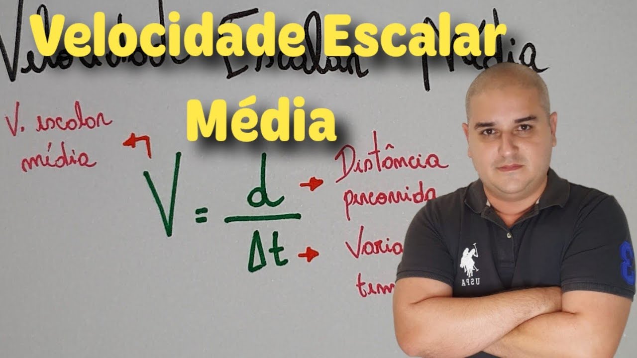
Cinemática 14: Velocidade Escalar Média
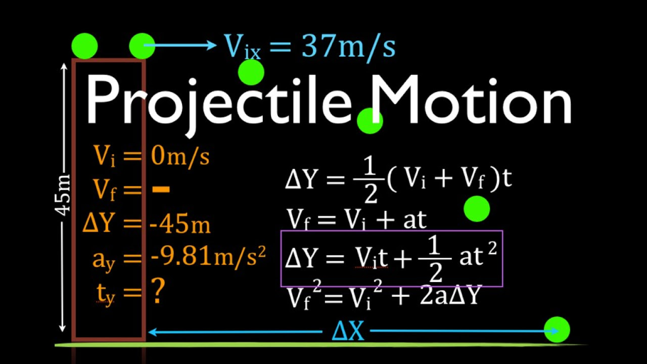
Two Dimensional Motion (4 of 4) Horizontal Projection, Worked Example

GCSE Physics Revision "Speed"

Gerak Lurus • Part 1: Gerak Lurus Beraturan (GLB) dan Gerak Lurus Berubah Beraturan (GLBB)

Navigation - Dead Reckoning (White Board Part 1)
5.0 / 5 (0 votes)
