Mengenal Lebih Dekat Kabupaten Natuna, dan kenapa China ingin Mengakuinya?
Summary
TLDRThe Natuna Islands, part of Indonesia, are geopolitically significant due to their location and natural resources, such as vast natural gas reserves and rich fisheries. This region has long been in dispute, especially with China, which claims the waters based on its controversial nine-dash line and historical fishing grounds. Natuna's strategic position between the Indian and Pacific Oceans, along with its valuable resources, makes it highly contested. Despite past disputes with Malaysia, Indonesia officially incorporated Natuna in 1956. The ongoing tensions highlight the broader regional disputes in the South China Sea.
Takeaways
- 🌍 Natuna is a regency in the Riau Archipelago of Indonesia, consisting of 154 islands, 127 of which are uninhabited.
- 🌊 The Natuna region covers a land area of 2,001 square kilometers and a vast territorial sea area of 264,198 square kilometers.
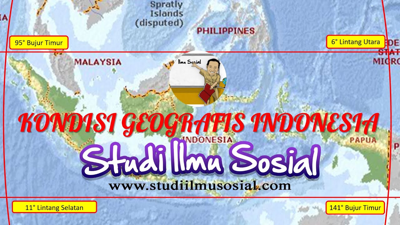
- 🛂 Natuna is the northernmost part of the Riau Archipelago and borders Vietnam, Cambodia, Malaysia, and other regions, making it geopolitically significant.
- 📜 Historically, Natuna was part of the Pattani and Johor kingdoms before becoming part of the Riau-Lingga Sultanate in the 19th century.
- 🇮🇩 After Indonesia's independence, Natuna was officially recognized as Indonesian territory in 1956 by the United Nations.
- ⚔️ China claims the Natuna waters based on the 'nine-dash line,' a controversial and unilateral demarcation that overlaps with Indonesia’s exclusive economic zone (EEZ).
- 📉 Malaysia had previously claimed the Natuna Islands in the 1960s but dropped the claim due to political tensions with Indonesia at the time.
- 🐟 China argues that the Natuna Sea is a traditional fishing area for Chinese fishermen, adding to its territorial claims.
- ⛽ The Natuna region is rich in natural resources, including some of the largest natural gas reserves in the Asia-Pacific region, and abundant fisheries, making it economically attractive.
- 📊 The South China Sea, including Natuna, is a vital maritime route for global trade, enhancing its strategic value.
Q & A
What is Natuna, and where is it located?
-Natuna is an archipelago district in the Riau Archipelago Province of Indonesia, consisting of 154 islands, of which 127 are uninhabited. It is located in the Karimata Strait, bordered by Vietnam and Cambodia to the north, South Sumatra and Jambi to the south, Singapore, Malaysia, and Riau to the west, and East Malaysia and West Kalimantan to the east.
Why is the Natuna region important geopolitically?
-The Natuna region is important geopolitically due to its strategic location between the Indian and Pacific Oceans, making it a crucial trade route and international communication line. Additionally, the area is rich in natural resources, particularly natural gas and fish, making it economically valuable.
What historical kingdoms once controlled the Natuna Islands?
-Historically, the Natuna Islands were part of the Pattani Kingdom and Johor Kingdom in Malaysia during the 16th century. In the 19th century, they became part of the Riau-Lingga Sultanate.
Why does China claim the Natuna region?
-China claims the Natuna region based on the nine-dash line concept, a demarcation line that they unilaterally created, covering large parts of the South China Sea. They argue that the Natuna waters are part of their territory and also claim it as a traditional fishing area for Chinese fishermen.
What is the significance of the nine-dash line in China’s claims over the South China Sea?
-The nine-dash line is a territorial claim by China that covers nearly the entire South China Sea, leading to disputes with neighboring countries, including Indonesia. The line is not recognized by international law, particularly the United Nations Convention on the Law of the Sea (UNCLOS), which establishes the boundaries of exclusive economic zones (EEZ).
What was Malaysia’s historical claim to the Natuna Islands?
-Malaysia claimed the Natuna Islands in the 1960s, based on historical and geographical proximity. However, due to the political tension between Malaysia and Indonesia at the time, Malaysia suppressed its desire to challenge Indonesia’s control of the islands to avoid further conflict.
How did the Natuna Islands become part of Indonesia?
-After Indonesia gained independence from the Netherlands, a delegation from Riau handed over the Natuna Islands to the Indonesian government. In 1956, Indonesia officially registered the archipelago as its territory with the United Nations.
What natural resources are found in the Natuna region?
-The Natuna region is rich in natural gas, with reserves that are considered among the largest in the Asia-Pacific and the world. The area also has abundant marine resources, including various types of fish, lobster, crab, shrimp, and squid.
What percentage of Natuna's population belongs to the Malay ethnic group?
-More than 85% of Natuna’s population belongs to the Malay ethnic group. Other ethnic groups include immigrants from Java, China, Minang, Batak, Banjar, Dayak, Bugis, and Sundanese.
Why is the Natuna region a source of dispute between Indonesia and China?
-The dispute arises from China's claim over the waters surrounding the Natuna Islands based on its nine-dash line, which overlaps with Indonesia's exclusive economic zone (EEZ) as recognized by UNCLOS. China also asserts that the Natuna waters are a traditional fishing area for Chinese fishermen.
Outlines
🌍 The Strategic and Historical Significance of Natuna
Natuna, an archipelago district in Indonesia, is located in the northernmost part of the Riau Archipelago. It comprises 154 islands, 127 of which are uninhabited, with a total land area of 2,001 square kilometers, but its territorial waters span 264,198 square kilometers. Natuna shares borders with several countries, including Vietnam, Cambodia, and Malaysia, making it a region of strategic importance, particularly due to a border dispute with China. The population, based on the 2020 census, stands at 81,495, with the majority being from the Malay tribe. The region has a rich history, once part of the Pattani and Johor Kingdoms before becoming part of the Riau-Lingga Sultanate. Following Indonesia's independence, Natuna was officially recognized as Indonesian territory in 1956. Malaysia once made historical and geographical claims to the region, but tensions were eased during the 1960s, allowing Indonesia to maintain its claim without conflict. China's dispute over the area is more recent, as it unilaterally claims the Natuna Sea based on its 'nine-dash line' concept.
⚓ China's Nine-Dash Line and the Natuna Dispute
China’s claim to the Natuna Sea is based on the 'nine-dash line,' a boundary that overlaps with Indonesia's exclusive economic zone (EEZ) as defined by the United Nations Convention on the Law of the Sea (UNCLOS) in 1982. China’s official map, Haijiang Xian Nei, disregards international agreements like UNCLOS, leading to tensions with multiple countries bordering the South China Sea. China’s claim to the Natuna waters also stems from its argument that the region has traditionally been a fishing area for Chinese fishermen. Beyond fishing, the North Natuna Sea is geopolitically significant, acting as a crucial maritime route connecting the Indian and Pacific Oceans. Its abundant natural resources, including one of the largest natural gas reserves in Asia-Pacific, make the area highly desirable. Additionally, the rich fisheries in the region, filled with diverse species, add to the economic allure, making Natuna a focal point of strategic competition.
Mindmap
Keywords
💡Natuna
💡South China Sea
💡Nine-Dash Line
💡Exclusive Economic Zone (EEZ)
💡UNCLOS
💡Natural Gas Reserves
💡Riau-Lingga Sultanate
💡Indonesia-China Border Dispute
💡Fishing Rights
💡Trade Routes
Highlights
Natuna Regency is a border area of Indonesia, known for its territorial dispute with China.
Natuna is part of the Riau Archipelago Province, consisting of 154 islands, with 127 uninhabited.
Natuna's total land area is about 2,001 square kilometers, but its territorial waters extend to 264,198 square kilometers.
Natuna is strategically located in the Karimata Strait, bordered by Vietnam, Cambodia, South Sumatra, Singapore, Malaysia, and West Kalimantan.
Natuna’s population is 81,495, with more than 85% belonging to the Malay tribe and Islam as the majority religion.
The common language spoken in Natuna is Malay, particularly the Terengganuan Malay dialect.
Historically, Natuna was part of the Pattani and Johor Kingdoms but became part of the Riau-Lingga Sultanate in the 19th century.
After Indonesia's independence, Riau handed over Natuna to Indonesia, which registered the region with the UN in 1956.
Malaysia once claimed the Natuna Islands in the 1960s but later withdrew its claim to stabilize relations with Indonesia.
China’s claim over Natuna is based on its nine-dash line, a unilateral maritime boundary not recognized by UNCLOS.
According to UNCLOS (1982), the Natuna waters are part of Indonesia’s exclusive economic zone (EEZ).
China argues that the Natuna waters are a traditional fishing area for Chinese fishermen.
Geopolitically, the North Natuna Sea is vital due to its position connecting the Indian and Pacific Oceans, serving as a major international trade route.
The Natuna area is rich in natural gas, with reserves said to be the largest in Asia-Pacific, and significant fishing resources.
In 2016, Indonesia's Ministry of Marine Affairs recognized the Natuna Sea as one of the world’s richest fishing grounds, with various marine species.
Transcripts
Natuna,
one of the border areas of Indonesia whose name is often in the spotlight,
especially because of its border dispute with China.
in this video we will discuss a little about Natuna
and the reasons why China wants to control the region.
Natuna or more precisely Natuna Regency
is one of the regencies in the Riau Archipelago Province,
Indonesia.
Natuna is an archipelago district,
its territory consists of at least 154 islands, of
which around 127 are uninhabited islands.
The total land area of this district is about 2,001 square kilometers,
but if the total area of its territorial waters
reaches 264,198 square kilometers.
Natuna is the northernmost archipelago of the Riau Archipelago province
, which is located in the Karimata Strait.
To the north,
Natuna is bordered by Vietnam and Cambodia,
to the south by South Sumatra and Jambi,
to the west by Singapore,
Malaysia and Riau
and to the east by East Malaysia
and West Kalimantan.
Because of its geographical location,
the Natuna area is often a concern because of its border dispute with China.
Based on the 2020 census data,
the population of Natuna Regency
is 81,495 inhabitants,
most of the population of Natuna Regency
are people from the Malay tribe
with a percentage reaching more than 85%,
while the rest are immigrant tribes from Java,
China . ,
Minang,
Batak,
Banjar,
Dayak,
Bugis,
and Sundanese.
Islam is the majority religion in Natuna with the percentage of adherents reaching 97%.
In addition to Indonesian,
Malay, especially Terengganuan Malay
, is a common language used in the Natuna region.
This is influenced by historical factors that occurred in the region in the past.
Historically,
the Natuna Islands were previously included in the territory of the Pattani Kingdom and the Johor Kingdom
in Malaysia, precisely in 1597
or around the 16th century.
However, since the 19th century,
this archipelago has been part of the Riau-Lingga Sultanate.
And throughout most of its history since the reign of the Riau-Lingga Sultanate,
Natuna is part of an archipelago of seven islands.
If historically the Natuna Islands were part of the Sultanate of Johor or Malaysia,
then why is this area being disputed between China
and Indonesia,
not by Malaysia?
As previously explained a little. .
Since the 19th century the Natuna region has
been part of the Riau-Lingga Sultanate.
The Sultanate of Riau-Lingga is a Malay sultanate
that was founded in 1824.
This Sultanate emerged as a result of the separation of the
Sultanate of Johor-Riau
which separated the Johor Peninsula,
along with the island of Singapore,
from the Riau Archipelago.
This division followed a succession dispute after the death of Sultan Mahmud III of Johor.
The sovereignty of this new maritime kingdom was recognized by the British and Dutch governments
after the Anglo-Dutch agreement in 1824.
Historically
, the territory of the Riau-Lingga Sultanate is almost parallel to the territory of the Riau Islands province today.
This sultanate was finally dissolved in 1911
following the intervention of the Dutch.
Long story short,
after Indonesia's independence from the Netherlands,
a delegation from Riau then handed over its territory to the Indonesian government.
And in 1956,
Indonesia officially registered the archipelago
as its territory to the United Nations.
Regarding Malaysia's claim to the Natuna region, it has actually happened
long before the chaotic unilateral claims made by China over this region.
Malaysia has also claimed that the Natuna Islands should have been included in the territory of
Malaysia, precisely in the 1960s.
Malaysia's claim is based on historical
factors and geographical factors in the Natuna region
which is considered closer to Malaysia than Indonesia.
However, because the political situation of Malaysia and Indonesia at that time was heating up
due to the confrontation between the two countries in 1962-1966,
Malaysia then chose to suppress its desire to own Natuna
and not challenge its status,
this was done in order to create stabilization
between the two countries.
Then what about the claims made by China?
What is the basis for the Chinese government to claim the area
as part of the State of China.
The dispute between the Natunas and the Chinese state is
caused by China unilaterally claiming the Natuna Sea area
based on the nine dash line concept
or nine transparent boundary lines.
With this concept,
China considers that the Natuna waters are part of its country.
The Chinese government, with its official map known as Haijiang Xian Nei or the territorial sea line,
does not recognize the existence of an exclusive economic zone or EEZ
that has been agreed by the United Nations through UNCLOS.
As additional information, the
nine dash line is a demarcation line made
unilaterally by China without going through a convention on the law of the sea under the United Nations
or in this case the United Nations Convention on the Law of the Sea
or often abbreviated as UNCLOS.
Meanwhile, according to the 1982 UNCLOS convention,
the Natuna waters are officially designated as being included in the exclusive economic zone of the Indonesian state.
Interestingly,
the dispute over this sea area is not only experienced by the Indonesian state.
China with its nine dash line concept has also sparked disputes with other countries,
especially those bordering the South China Sea area.
This is because the length of the nine dash line made unilaterally by China
covers almost the entire area of the South China Sea
which causes its boundaries to overlap
with the boundaries of the exclusive economic zone
that has been determined by the countries in the region.
But is it really just because the Natuna region is included in the nine dash line
that makes China really want to control this region?
because on several occasions,
in addition to using the nine dash line basis,
China also claims that the Natuna waters are a traditional fishing area
for Chinese fishermen.
If viewed geopolitically,
the North Natuna Sea area is an area of economic,
political and strategic value
seen from its geographical position
that connects the Indian Ocean and the Pacific Ocean
as a trade shipping lane or sea lane of trade
and international communication lines or sea lane of communication.
The Natuna area is also said to have abundant natural wealth.
It is stated that natural gas reserves in these islands are the largest in Asia Pacific,
and even one of the largest in the world,
so it is not surprising
that many countries are very tempted to have the Natuna Islands.
In addition,
in the field of fisheries,
the North Natuna Sea is one of the richest fishing areas in the world
and contains various types of fish.
The wealth of marine resources is confirmed in the decision of the Minister of Marine Affairs and Fisheries of the Republic of Indonesia
which is in No. 47 of 2016.
The Ministry of Marine Affairs and Fisheries noted that the Natuna Sea is filled with various types of fish,
ranging from small pelagic
fish, demersal
fish, reef fish,
penaeid shrimp,
lobster,
crab to squid.
Weitere ähnliche Videos ansehen
How Geography is Pushing India & China to War
Nine-Dash Line Explained
South China Sea dispute explained
More Chinese Aggression: Philippine Ships Attacked with Water Cannons | Vantage with Palki Sharma
LETAK GEOGRAFIS | ASTRONOMIS INDONESIA DAN PENGARUHNYA, PENGERTIAN GARIS BUJUR DAN GARIS LINTANG
Sabina Shoal: China Says “Patience is Limited,” The Philippines Sends Warships | From The Frontline
5.0 / 5 (0 votes)