Pembahasan OSN K Kebumian 2025 Nomor 1-4
Summary
TLDRThis video provides a detailed walkthrough of OSNK 2025 Earth Science questions 1–4, focusing on meteorology and atmospheric phenomena. It explains why ice crystals grow faster than supercooled water droplets using the Bergeron process, identifies Nimbostratus clouds as typical for warm fronts, highlights the stratosphere as the ozone-rich layer with temperature inversion, and clarifies the monsoon winds in South Asia driven by the differential heat capacity of land and ocean. Each answer is carefully analyzed, with misconceptions debunked and key scientific principles illustrated, offering viewers a clear, step-by-step understanding of complex weather and atmospheric concepts.
Takeaways
- ❄️ Ice crystals grow faster than supercooled water droplets in thunderstorms due to the Bergeron process, where lower vapor pressure over ice causes water vapor to deposit onto ice crystals.
- ⚡ Electrical currents in thunderstorms accelerate the growth of water droplets, not ice crystals, so lightning does not directly speed up crystal formation.
- 🌧 Warm fronts occur when warm air moves over denser cold air, forming widespread, thin clouds, most commonly Nimbostratus clouds.
- ☁️ Cumulonimbus clouds are associated with cold fronts and strong convection, while cumulus clouds form due to local heating and convection.
- 🪐 The highest concentration of ozone in the atmosphere occurs in the Stratosphere, where temperature increases with altitude due to UV absorption.
- 🌡 The Troposphere is the layer closest to Earth, where weather occurs and temperature generally decreases with altitude.
- 🌊 Seasonal monsoon winds in South Asia are driven by differences in heat capacity between land and ocean, not by Earth's rotation alone.
- 💨 During June–August, strong winds carry moist air from the Indian Ocean to India, causing heavy rainfall in the region.
- 🌏 From December–February, winds reverse, bringing dry air from the Asian continent to the ocean, due to cooler land temperatures and higher pressure.
- -
- 📚 Understanding cloud formation, atmospheric layers, and monsoon mechanisms is essential for meteorology and Earth science competitions like OSNK.
Q & A
Why do ice crystals grow faster than supercooled liquid water droplets in the upper and middle levels of a thunderstorm?
-Ice crystals grow faster because of the Bergeron process: the vapor pressure over ice is lower than over supercooled water, causing water vapor to preferentially deposit onto ice crystals, making them grow more quickly.
Does electrical activity in thunderstorms directly accelerate the growth of ice crystals?
-No, electrical activity mainly accelerates the growth of liquid water droplets through collision and coalescence, not the formation of ice crystals.
What type of clouds are most commonly formed in front of a warm front?
-Nimbostratus clouds are most commonly formed in front of a warm front, as warm air gradually rises over colder air, creating widespread, relatively thin cloud layers that often produce steady precipitation.
Which clouds are typically associated with cold fronts rather than warm fronts?
-Cumulonimbus clouds are typically associated with cold fronts because cold air forces warm air to rise quickly, producing towering clouds and often intense rainfall or thunderstorms.
At what atmospheric layer does ozone concentration peak, and why does temperature increase there with altitude?
-Ozone concentration peaks in the stratosphere. Temperature increases with altitude in this layer because ozone absorbs ultraviolet (UV) radiation from the Sun, warming the surrounding air.
Why is the mesosphere not the layer with peak ozone concentration?
-The mesosphere has very little ozone; its main features are meteor ablation and very low temperatures. Ozone is concentrated lower, in the stratosphere, where it can absorb UV radiation.
What causes the seasonal reversal of winds known as monsoons in South Asia?
-Monsoons are caused by differences in heat capacity between land and ocean. Land heats and cools faster than water, creating seasonal pressure differences that reverse wind direction every six months.
During June to August, why do winds blow from the Indian Ocean toward the Indian subcontinent?
-During these months, the northern landmass of India heats up more quickly than the ocean, creating a low-pressure area over the land. Moist air from the Indian Ocean flows toward the land, bringing heavy rainfall.
During December to February, why do winds reverse direction and flow from the land to the ocean?
-In winter, the Indian subcontinent cools faster than the ocean, creating a high-pressure area over the land. Dry air flows from the land toward the ocean, leading to drier conditions over India.
How can understanding cloud types help in predicting weather conditions near fronts?
-Different cloud types indicate the movement and type of air masses: Nimbostratus clouds suggest gradual warm air ascent and steady rain (warm front), while cumulonimbus clouds indicate rapid cold air lifting and potential thunderstorms (cold front), allowing better weather forecasting.
Outlines

هذا القسم متوفر فقط للمشتركين. يرجى الترقية للوصول إلى هذه الميزة.
قم بالترقية الآنMindmap

هذا القسم متوفر فقط للمشتركين. يرجى الترقية للوصول إلى هذه الميزة.
قم بالترقية الآنKeywords

هذا القسم متوفر فقط للمشتركين. يرجى الترقية للوصول إلى هذه الميزة.
قم بالترقية الآنHighlights

هذا القسم متوفر فقط للمشتركين. يرجى الترقية للوصول إلى هذه الميزة.
قم بالترقية الآنTranscripts

هذا القسم متوفر فقط للمشتركين. يرجى الترقية للوصول إلى هذه الميزة.
قم بالترقية الآنتصفح المزيد من مقاطع الفيديو ذات الصلة
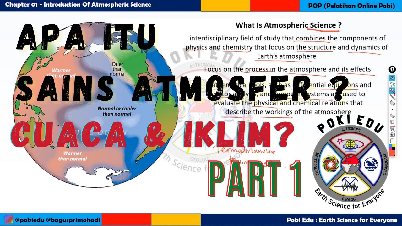
ME-1.1 Apa Itu Sains Atmosfer & Meteorologi ? | Perbedaan Cuaca & Iklim | Kebumian Geografi
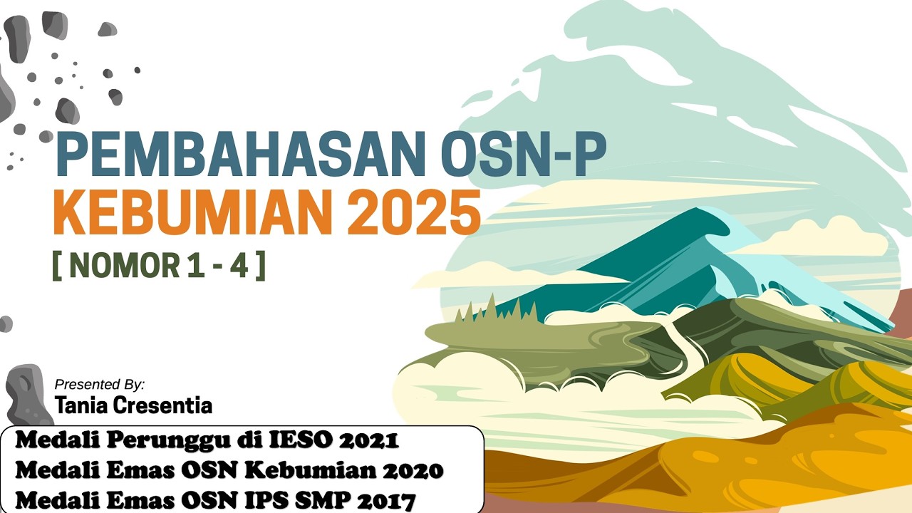
Pembahasan OSNP Kebumian 2025 No 1-4

Saksikan Sosialisasi Olimpiade Sains Nasional (OSN-K) Bidang Biologi SMA/SMK/MA/MAK/Sederajat 2025
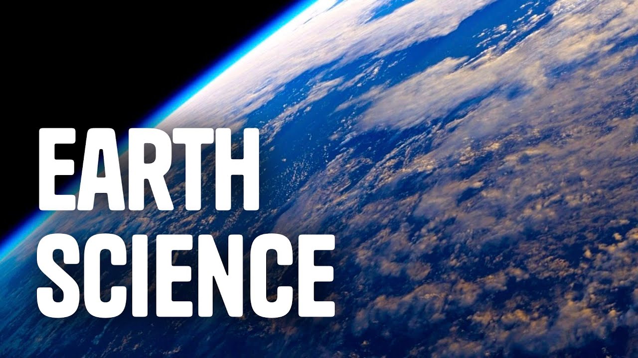
What is Earth Science?

Previsão do Tempo – Ciências – 8º ano – Ensino Fundamental
Kisi Kisi OSN GEOGRAFI 2025
5.0 / 5 (0 votes)
