Belajar Civil 3D membuat kontur bag 1
Summary
TLDRThis video tutorial covers how to use Google Earth Pro for surveying in civil engineering, particularly for creating contours and elevation models. The presenter explains the limitations of satellite imagery data, especially its 2-meter tolerance, and how it’s suitable for large-scale projects like dams or hilly terrains. It also demonstrates how to extract, process, and convert survey data into usable formats for further analysis. The process involves exporting data, converting coordinates, and refining it for use in tools like Excel or spreadsheet software, with an emphasis on understanding UTM coordinates and altitude for accurate mapping.
Takeaways
- 😀 Civil 3D is a tool used by civil engineers for surveying and data analysis.
- 😀 Google Earth Pro (GEP) is used for surveying and creating contour maps, but it has a tolerance of up to 2 meters, which should be kept in mind when working on smaller areas.
- 😀 GEP is most suitable for broader land areas like slopes or hills, as it uses satellite imagery and elevation data, which may not be accurate for small, detailed surveys.
- 😀 Survey data from GEP can serve as a pre-survey or planning tool, especially for large-scale projects like dams or earthworks, where it helps create initial contour maps.
- 😀 The process involves using GEP to survey locations, extract data, and save it in KMZ format for later processing.
- 😀 The tighter the survey data, the closer it is to real field conditions, but it can also increase the difficulty in processing the data due to higher data density.
- 😀 Google Earth Pro data is primarily useful for general planning and cannot replace precise field surveys when accuracy is critical.
- 😀 Using the GPS Visualizer website, the survey data can be converted into various formats, such as UTM coordinates, for further analysis.
- 😀 The survey data includes key information such as latitude, longitude, UTM zone, and altitude, which are essential for accurate mapping and further analysis.
- 😀 The conversion process in GPS Visualizer ensures that the data is compatible with geodetic systems, with outputs like UTM coordinates being helpful for mapping projects.
- 😀 While dense data provides higher accuracy, it also requires more effort to process, so it's important to strike a balance between data quality and computational feasibility.
Q & A
What is Civil 3D used for?
-Civil 3D is an application used primarily by civil engineering professionals for tasks such as surveying and designing civil infrastructure projects like roads, dams, and drainage systems.
What is the role of a surveyor in the context of the Civil 3D application?
-A surveyor plays a crucial role in providing data for various civil engineering projects. In the context of Civil 3D, the surveyor’s data helps in creating accurate models of the land, such as contours and terrain profiles, which are essential for design and planning.
What is Google Earth Pro, and how is it relevant to this script?
-Google Earth Pro is a free application that provides satellite imagery and digital elevation models (DEM) of the Earth's surface. In this script, it is used to gather preliminary terrain data for civil engineering surveys, especially for large projects like dams or areas with significant slopes.
Why is the data in Google Earth Pro not always accurate for small land areas?
-Google Earth Pro’s data is derived from satellite imagery, which can have a tolerance of up to 2 meters. This tolerance can result in inaccuracies when surveying small, confined land areas due to obstructions like trees or buildings.
What type of land conditions are best suited for using Google Earth Pro data?
-Google Earth Pro data is most suitable for surveying sloping or large land areas, such as hills or broad terrain, where the general contours and elevations can be represented with the available satellite imagery data.
How does one create a contour map using Google Earth Pro data?
-To create a contour map, you first collect survey points using the Google Earth Pro application, save them as a KMZ file, and then extract the data through a GPS visualizer tool. This data can later be processed to generate the contours.
What is the significance of the 2-meter tolerance in Google Earth Pro data?
-The 2-meter tolerance refers to the margin of error in the elevation data provided by Google Earth Pro. This level of inaccuracy is acceptable for large-scale projects but may not be suitable for smaller, more precise surveys.
What is the advantage of using Google Earth Pro data for pre-survey planning?
-Using Google Earth Pro data for pre-survey planning provides a quick way to obtain an overview of terrain features and elevations, helping in the initial planning stages of large-scale projects, such as dams or other infrastructure developments.
What kind of data can be extracted from the GPS visualizer after uploading the KMZ file?
-After uploading the KMZ file to the GPS visualizer, data such as latitude, longitude, UTM zone, UTM coordinates, and altitude information can be extracted. This data can then be used for further analysis and mapping.
Why is the UTM coordinate system used in this process, and what does it provide?
-The UTM (Universal Transverse Mercator) coordinate system is used because it provides a more accurate representation of positions on the Earth's surface, especially for mapping and surveying purposes. It divides the world into zones, each of which is used for more precise local mapping.
Outlines

هذا القسم متوفر فقط للمشتركين. يرجى الترقية للوصول إلى هذه الميزة.
قم بالترقية الآنMindmap

هذا القسم متوفر فقط للمشتركين. يرجى الترقية للوصول إلى هذه الميزة.
قم بالترقية الآنKeywords

هذا القسم متوفر فقط للمشتركين. يرجى الترقية للوصول إلى هذه الميزة.
قم بالترقية الآنHighlights

هذا القسم متوفر فقط للمشتركين. يرجى الترقية للوصول إلى هذه الميزة.
قم بالترقية الآنTranscripts

هذا القسم متوفر فقط للمشتركين. يرجى الترقية للوصول إلى هذه الميزة.
قم بالترقية الآنتصفح المزيد من مقاطع الفيديو ذات الصلة

1 ILMU UKUR TANAH PENDAHULUAN

How To Use New Google AI Studio (GoogleAI Tutorial) Complete Guide With Tips and Tricks

Ilmu Ukur Tanah Basic (Part 1)
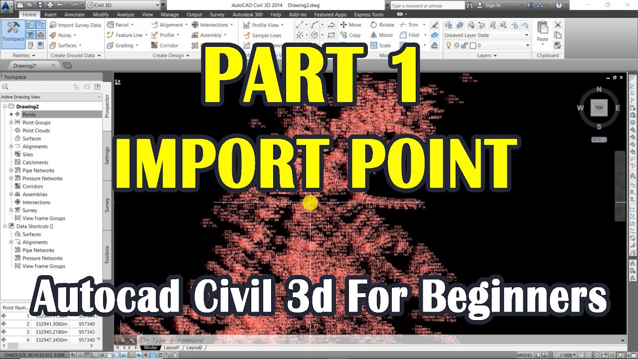
Autocad Civil 3d For Beginners | Import Point | Part 1
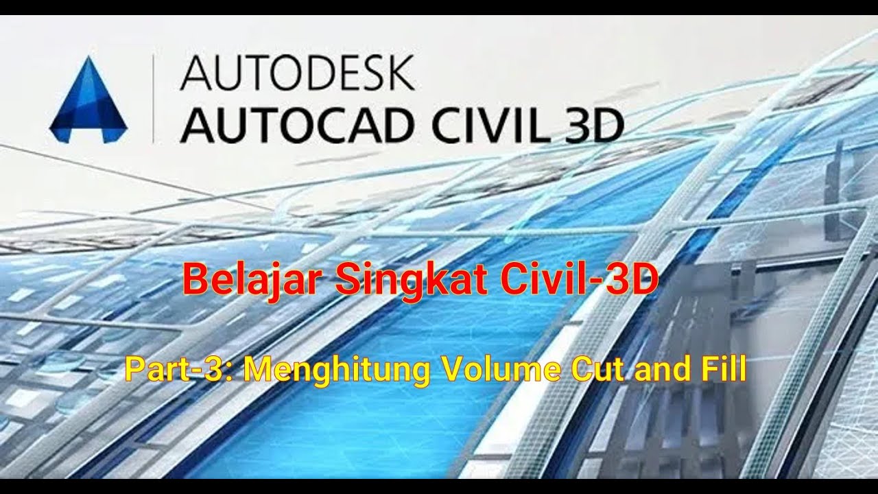
Tutorial AutoCad Civil 3D: Menghitung Volume (Cut and Fill)
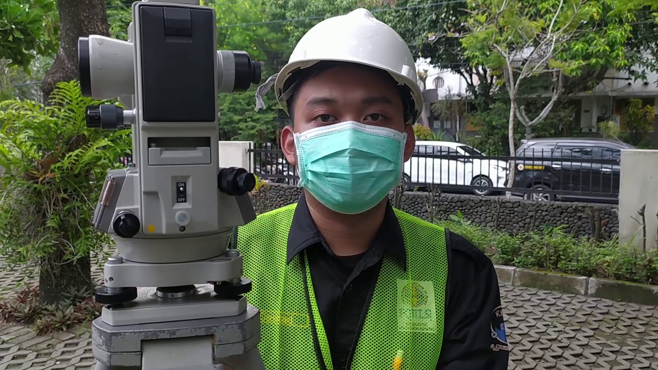
Pengukuran Poligon Tertutup dan Detail pada Theodolite
5.0 / 5 (0 votes)
