Week Ten: An Introduction to the Nine-Dash Line
Summary
TLDRThe video script offers an informal walkthrough of key concepts surrounding the South China Sea conflict, essential for a module on maritime policy and international relations. The speaker guides the audience through the definitions of territorial seas, exclusive economic zones (EEZ), and artificial islands, referencing UNCLOS documents. The focus shifts to China's controversial 'nine-dash line' and its overlapping claims with Vietnam and the Philippines. The speaker also discusses the role of U.S. alliances in the region, including the Trans-Pacific Partnership, and provides a visual guide using an interactive map to help students grasp the geopolitical stakes in the South China Sea dispute.
Takeaways
- 🌍 The video focuses on the South China Sea and its significance in current international conflicts, especially in relation to territorial claims.
- 🛳️ The concept of a territorial sea is explained, with a focus on the UNCLOS definition of a country's right to claim up to 12 nautical miles of sea.
- 💡 Students are instructed to research and understand various concepts like the exclusive economic zone (EEZ) from specific UNCLOS articles (55 and 56).
- 🇨🇳 China's nine-dash line claim over the South China Sea is a central issue, and students are advised to Google and study its implications.
- 📜 The video asks students to read a specific article on the history and importance of the South China Sea conflict, particularly America's role in it.
- 🛠️ There is a step-by-step guide to using an interactive map that visualizes the South China Sea disputes, with instructions on selecting and analyzing specific territorial claims.
- 🇺🇸 The video mentions the role of the United States in the South China Sea dispute, highlighting alliances with nations like Vietnam and the Philippines.
- 📈 Overlapping exclusive economic zones between China, Vietnam, and the Philippines create the need for treaties to govern trade in contested regions.
- 🌏 The United States' geopolitical strategy in the Pacific is explored, including alliances and arms deals with nations like Australia to limit Chinese influence.
- 🤔 The video aims to help students understand international maritime law, Cold War-era alliances, and modern-day conflicts surrounding the South China Sea.
Q & A
What is a territorial sea according to the UNCLOS document?
-A territorial sea is the area of sea adjacent to a state's coast, up to a limit of 12 nautical miles, over which the state exercises sovereignty, as defined in the UNCLOS Part 2, Section 2, Article 3.
What economic rights does the UNCLOS guarantee to coastal nations?
-The UNCLOS guarantees coastal nations economic rights within their Exclusive Economic Zone (EEZ), such as rights to resources, fishing, and other activities. These are outlined in Part 5, Article 55 and 56.
How is an artificial island different from a natural island?
-An artificial island is man-made and does not have the same legal status as a natural island, which forms naturally and can sustain human habitation or economic life.
What is China's 'nine-dash line'?
-China's 'nine-dash line' is a demarcation line used by China to claim a large part of the South China Sea, extending far beyond its 12-mile territorial sea or EEZ, and causing disputes with other nations in the region.
Why is the South China Sea strategically important?
-The South China Sea is strategically important because it is a major route for international trade, rich in natural resources, and a critical area for geopolitical influence, especially between China and U.S. allies.
How does the U.S. project influence in the South China Sea?
-The U.S. projects influence through alliances with countries like Vietnam and the Philippines, promoting the Trans-Pacific Partnership, and maintaining military presence in the region, aiming to limit Chinese influence.
What is the significance of the interactive map of the Indo-Pacific region?
-The interactive map visually represents territorial claims, such as the nine-dash line, and highlights overlapping Exclusive Economic Zones (EEZs) between countries like China, Vietnam, and the Philippines, illustrating the conflict areas in the South China Sea.
What happens when exclusive economic zones (EEZs) of different nations overlap?
-When EEZs overlap, nations usually need to negotiate treaties to manage trade and resource use in those overlapping areas, as prescribed by international law under the UNCLOS.
How does the U.S. use alliances in the Pacific to counter China?
-The U.S. strengthens its influence in the Pacific through alliances with countries like Australia, Japan, and South Korea, often selling military equipment to allies and working on economic partnerships like the Trans-Pacific Partnership.
What role does history play in the South China Sea dispute?
-The history of the region, especially China's historical claims to the South China Sea, is a significant factor in the dispute. The origins of the nine-dash line are rooted in China's historical perspectives on territorial rights.
Outlines

هذا القسم متوفر فقط للمشتركين. يرجى الترقية للوصول إلى هذه الميزة.
قم بالترقية الآنMindmap

هذا القسم متوفر فقط للمشتركين. يرجى الترقية للوصول إلى هذه الميزة.
قم بالترقية الآنKeywords

هذا القسم متوفر فقط للمشتركين. يرجى الترقية للوصول إلى هذه الميزة.
قم بالترقية الآنHighlights

هذا القسم متوفر فقط للمشتركين. يرجى الترقية للوصول إلى هذه الميزة.
قم بالترقية الآنTranscripts

هذا القسم متوفر فقط للمشتركين. يرجى الترقية للوصول إلى هذه الميزة.
قم بالترقية الآنتصفح المزيد من مقاطع الفيديو ذات الصلة

Geopolitik Indonesia dalam Merespon Persoalan Dunia

Global diplomacy in motion President Prabowo's 16 day working visit with Teuku Rezasyah

A New Game in the South China Sea?

Jeffrey Sachs: No One Is Ready For What China Is Preparing For

Chinese Ship Rams into Filipino Vessel: Latest West Philippine Sea Clash | Vantage with Palki Sharma
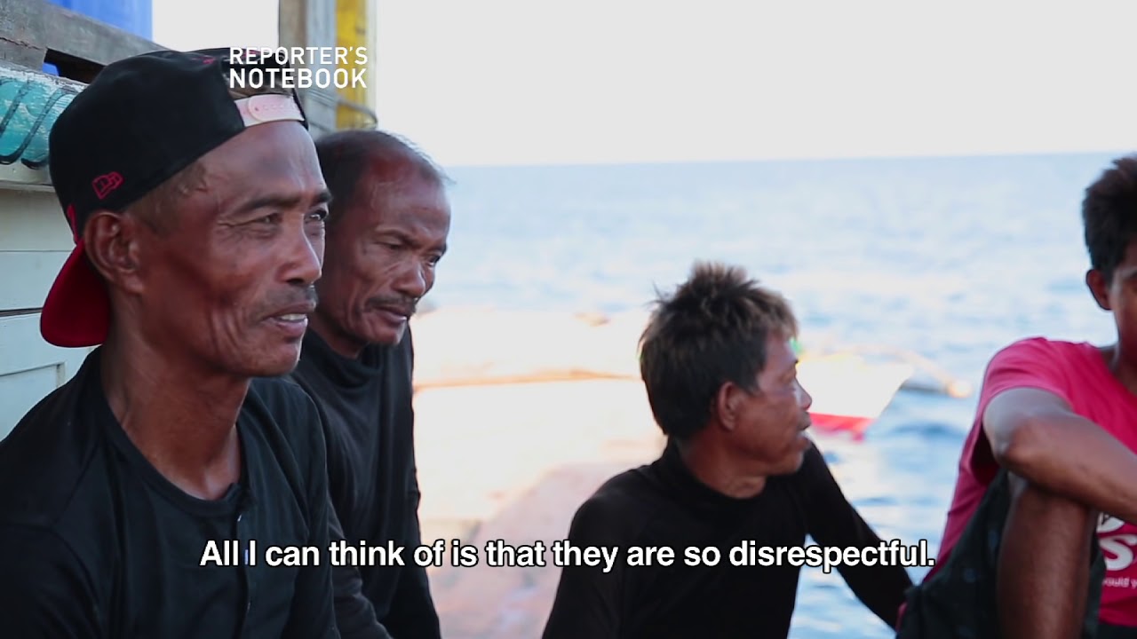
Reporter’s Notebook: Batas ng Karagatan (The Law of the Sea) | Full Episode (with English subtitles)
5.0 / 5 (0 votes)
