Jenis dan Proses Terbentuknya Benua - Fakta Menarik
Summary
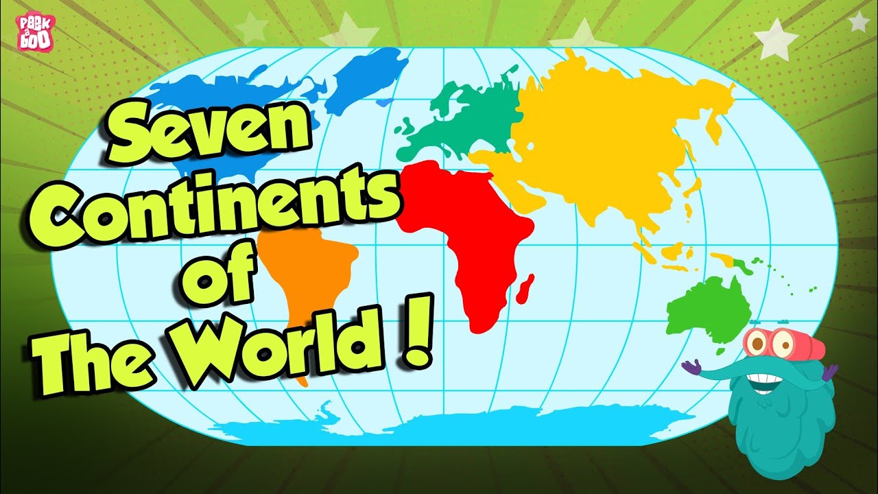
TLDRThis video introduces the seven continents of the world: Asia, Africa, North America, South America, Australia, Antarctica, and Europe. It explains that these continents formed naturally over millions of years and were once part of a single landmass called Pangaea. The video describes how Pangaea split into Laurasia and Gondwana, which eventually formed the continents we know today. Each continent's geographical boundaries and unique features are briefly highlighted. The video aims to educate kids about the Earth's continents and their formation in an engaging way.
Takeaways
- 🌍 There are seven continents in the world: Asia, Africa, North America, South America, Australia, Antarctica, and Europe.
- 🌐 Continents formed naturally over millions of years and are now home to millions of inhabitants.
- 🧠 According to Alfred Wegener, around 300 million years ago, there was a single supercontinent called Pangea.
- 🔀 Pangea eventually split into two main continents: Laurasia in the north and Gondwana in the south.
- 🌎 North America formed from Laurasia, while South America formed from Gondwana.
- 🦘 Australia and Antarctica formed as pieces of Gondwana drifted east and south.
- 🌏 Asia and Europe formed through the merging of different landmasses, primarily from Eurasia.
- 💡 Asia is the largest continent, with a surface area of around 44.4 million square kilometers, and has the highest population in the world.
- 🌍 Africa borders the Mediterranean Sea to the north, the Indian Ocean to the south and east, and the Atlantic Ocean to the west.
- ❄️ Antarctica is known as the 'gray continent' due to being almost entirely covered in ice throughout the year.
Q & A
What are the seven continents in the world?
-The seven continents are Asia, Africa, North America, South America, Australia, Antarctica, and Europe.
How were the continents formed according to the script?
-The continents were formed through natural processes over millions of years, and originally, all the land was part of one large continent called Pangea. Pangea later split into two major landmasses: Laurasia in the north and Gondwana in the south, which eventually formed the continents we know today.
What is Pangea?
-Pangea was a supercontinent that existed about 300 million years ago. It eventually broke apart into smaller continents, which drifted to form the current seven continents.
How did Laurasia and Gondwana contribute to the formation of today's continents?
-Laurasia, the northern landmass, eventually split to form North America and Eurasia (Europe and Asia). Gondwana, the southern landmass, split to form South America, Africa, Antarctica, and Australia.
Which continent is considered the most populated according to the video?
-Asia is the most populated continent in the world.
How is Africa geographically bordered?
-Africa is bordered by the Mediterranean Sea to the north, the Indian Ocean to the southeast, and the Atlantic Ocean to the west.
What are the borders of South America?
-South America is bordered by the Atlantic Ocean to the east and the Pacific Ocean to the west.
Why is Antarctica called the 'Gray Continent'?
-Antarctica is referred to as the 'Gray Continent' because most of its landmass is covered by ice year-round.
What are some of the characteristics of Australia according to the script?
-Australia is bordered by the Pacific Ocean and Coral Sea to the east, and the Indian Ocean to the west and south. It is also separated from Asia by the Torres Strait to the north.
What is the significance of Alfred Wegener's theory mentioned in the video?
-Alfred Wegener's theory explains that the continents were once part of a single supercontinent called Pangea, which eventually broke apart and drifted into the positions of the continents we know today. This theory is known as 'continental drift.'
Outlines

هذا القسم متوفر فقط للمشتركين. يرجى الترقية للوصول إلى هذه الميزة.
قم بالترقية الآنMindmap

هذا القسم متوفر فقط للمشتركين. يرجى الترقية للوصول إلى هذه الميزة.
قم بالترقية الآنKeywords

هذا القسم متوفر فقط للمشتركين. يرجى الترقية للوصول إلى هذه الميزة.
قم بالترقية الآنHighlights

هذا القسم متوفر فقط للمشتركين. يرجى الترقية للوصول إلى هذه الميزة.
قم بالترقية الآنTranscripts

هذا القسم متوفر فقط للمشتركين. يرجى الترقية للوصول إلى هذه الميزة.
قم بالترقية الآنتصفح المزيد من مقاطع الفيديو ذات الصلة
SEVEN CONTINENTS OF THE WORLD | What Are The Seven Continents? | The Dr Binocs Show | Peekaboo Kidz

Fakta menakjubkan tentang Benua yang perlu kita ketahui!

Seven Continents of the world - Seven continents video for kids
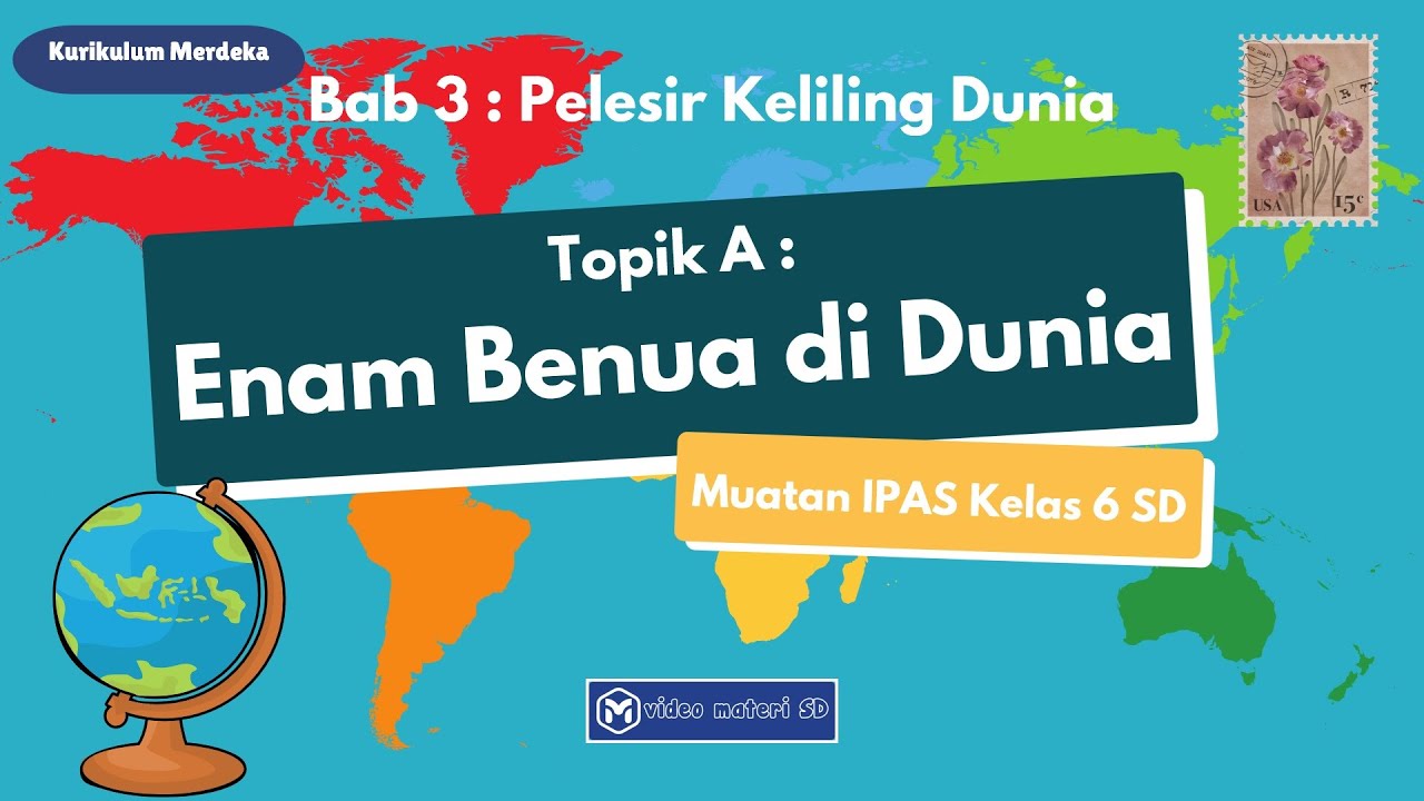
TOPIK A : ENAM BENUA DI DUNIA | BAB 3 : PELESIR KELILING DUNIA | KELAS 6 SD | MUATAN IPAS
Interaksi Antarruang Negara-Negara di Benua Asia dan di Benua Lainnya||Mapel IPS||Kelas 9- Part 1
Continentes do mundo - Brasil Escola
5.0 / 5 (0 votes)
