[TOTAL BIAYA] GUNUNG KERINCI VIA KERSIK TUO || MENGGAPAI ATAP SUMATERA DENGAN SEGALA DRAMANYA
Summary
TLDRIn this thrilling adventure, Panji Buana takes viewers on a journey to summit Mount Kerinci, the highest active volcano in Southeast Asia. Starting from the base camp, the expedition involves a challenging trek through dense forests, steep inclines, and rocky paths. Along the way, Panji and his companions encounter varying terrain, including slippery roots and vast landscapes. With expert guidance from local guides, they push through to reach the summit at 3,805 meters above sea level. The journey is filled with breathtaking moments, camaraderie, and a deep appreciation for the stunning beauty and challenges of Gunung Kerinci.
Takeaways
- 😀 Panji Buana introduces the adventure of hiking to Gunung Kerinci, the highest volcano in Southeast Asia and the highest peak in Sumatra (3805 meters above sea level).
- 😀 The journey begins with Panji and his friend Dimas preparing for the climb at a base camp, where they check in and get ready for the adventure ahead.
- 😀 The trek starts from the 'Pintu Rimba' (Rimba Gate), at an elevation of 1800 meters, leading them up through various checkpoints to the summit.
- 😀 The path is challenging, with slippery, wet terrain due to recent rain, and the hikers encounter vegetation typical of Kerinci’s forests.
- 😀 The group passes through several posts (Pos 1, Pos 2, Pos 3), with each having shelters and different camping options. The terrain becomes steeper as they progress.
- 😀 Panji highlights the differences between two official trails to Gunung Kerinci: the Kersik Tuo route (shorter and easier) and the Solok Selatan route (longer, more challenging, and wilder).
- 😀 The hikers face increasing difficulty as they move past Pos 3 and up to higher elevations, encountering steeper and more rugged terrain.
- 😀 Shelter 1, located at 2505 meters, offers a brief resting point with ample space for tents, and the hikers enjoy a meal of gado-gado (Indonesian salad) during their break.
- 😀 As the hike progresses, the terrain becomes more vertical, with rocky paths and fewer trees, challenging the hikers further.
- 😀 Upon reaching the summit, Panji and the team celebrate their achievement at the highest point in Sumatra, while contending with strong winds and challenging conditions.
- 😀 After reaching the summit, the team begins their descent, retracing their steps back to base camp, and ultimately returning to Jakarta after a fulfilling adventure.
Q & A
What is the primary goal of Panji Buana's adventure in this script?
-The primary goal of Panji Buana's adventure is to summit Gunung Kerinci, the highest volcano in Southeast Asia, located in Sumatra, Indonesia.
What significant event happened the day before the hike started?
-The day before the hike, there was a report of a hiker getting lost on the trail, but fortunately, they were successfully evacuated, allowing the group to proceed with their hike.
What is the significance of the 'Pintu Rimba' in the hike?
-'Pintu Rimba' is the starting point of the trek, also known as the Forest Gate, where the group begins their ascent of Gunung Kerinci.
What makes the Kersik Tuo route the preferred path to summit Gunung Kerinci?
-The Kersik Tuo route is considered the more popular and easier of the two official routes to summit Gunung Kerinci. It is shorter and less challenging compared to the Solok Selatan route, which is longer and involves more dangerous wildlife.
What challenges did the hikers face on the trail?
-The hikers faced several challenges, including slippery and muddy terrain, steep inclines, root obstacles, and difficult conditions, especially at higher elevations where the vegetation was sparse and the weather conditions became harsher.
What was the condition of the trail leading up to Pos 1?
-The trail to Pos 1 was relatively easy, with a gradual ascent and a moist, muddy surface due to recent rainfall. The terrain was manageable, but still presented some obstacles like wet roots and soft earth.
How did the terrain change as the hikers ascended the mountain?
-As the hikers ascended, the terrain became steeper and more challenging, with more pronounced inclines, wet soil, and thick vegetation, eventually leading to more open areas with rocky paths and sparse vegetation as they neared higher altitudes.
What is the significance of the 'Tugu Yuda' during the hike?
-The 'Tugu Yuda' is a landmark along the trail that marks the meeting point of the two main routes leading to the summit of Gunung Kerinci. It's a notable stop on the way to the peak.
What was the hikers' experience like when they reached the summit of Gunung Kerinci?
-Upon reaching the summit, the hikers were met with strong winds and an awe-inspiring view. Despite the challenging conditions, standing at the top of the mountain, at 3,805 meters above sea level, was a moment of immense satisfaction and achievement.
What was the experience of descending from the summit?
-The descent was challenging, with the hikers navigating steep and rocky terrain. Although they had reached the summit, the journey down was equally difficult, requiring caution due to the harsh conditions, especially the slippery rocks and loose soil.
Outlines

This section is available to paid users only. Please upgrade to access this part.
Upgrade NowMindmap

This section is available to paid users only. Please upgrade to access this part.
Upgrade NowKeywords

This section is available to paid users only. Please upgrade to access this part.
Upgrade NowHighlights

This section is available to paid users only. Please upgrade to access this part.
Upgrade NowTranscripts

This section is available to paid users only. Please upgrade to access this part.
Upgrade NowBrowse More Related Video
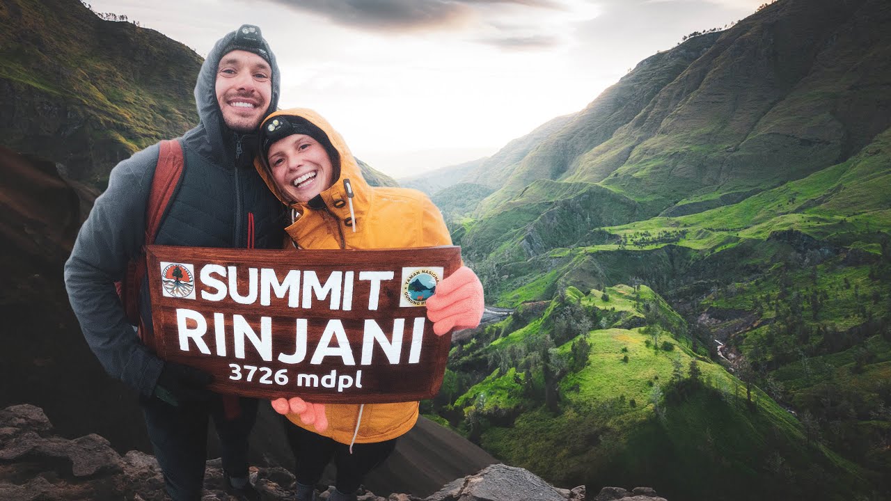
We Climbed ACTIVE Volcano! Hiking Rinjani 3726M | Sembalun to Torean
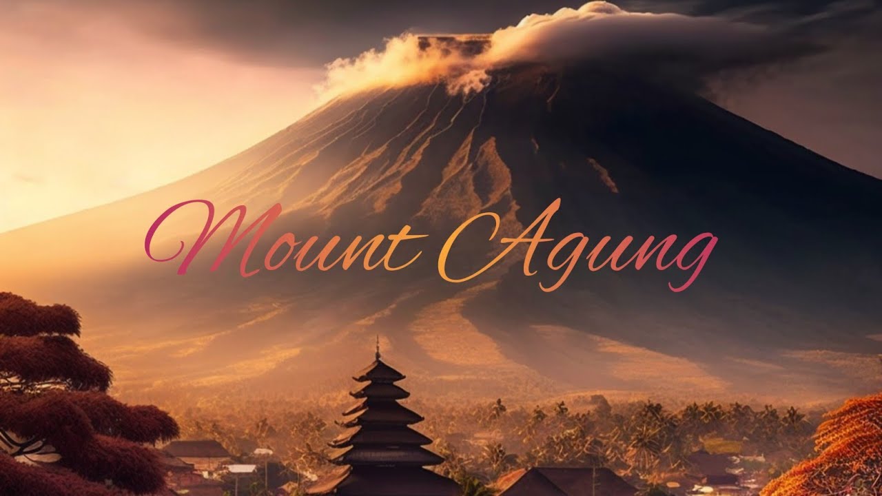
The Description of Mount Agung in Bali |Descriptive Text |

أخطر وأشرس الأفاعي بالعالم - كوبرا الملك
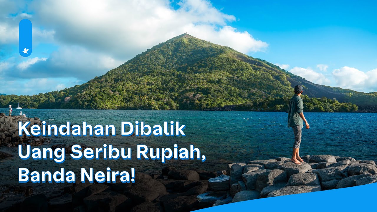
Pergi untuk pulang ke BANDA NEIRA, SURGA TERSEMBUNYI DI TIMUR INDONESIA!
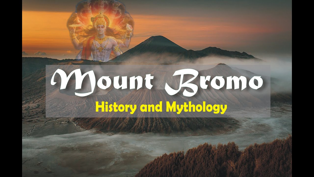
MOUNT BROMO - HISTORY & MYTHOLOGY || Sacred Of Mount Bromo The Gods Mountain ||

Bromo Tengger Semeru
5.0 / 5 (0 votes)