3 ILMU UKUR TANAH PENGUKURAN WATERPAS
Summary
TLDRIn this lecture, the instructor discusses the concept of waterpas measurement or leveling, a technique used to determine the height differences between two points. The video explains three primary methods of measurement: using a water-filled hose, a manual waterpas, and an optical waterpas. Each method is illustrated with examples to demonstrate the practical steps involved. The importance of accurate elevation measurements for mapping, planning, and construction is emphasized. The lecture concludes by encouraging students to practice these methods in the field for better understanding and mastery of the technique.
Takeaways
- 😀 Waterpass measurement is used to determine the height difference between two points, which is crucial for mapping, planning, and execution in construction projects.
- 😀 The reference point for waterpass measurements is typically a datum, which can be the average sea level, ensuring consistency in elevation calculations.
- 😀 The term 'Mean Sea Level' (MSL) refers to the average level of the ocean surface, used as a reference for elevation measurements over a long period of time.
- 😀 There are three common methods for measuring elevation differences: using a water-filled hose, using a manual waterpass, and using an optical waterpass.
- 😀 A water-filled hose is used to measure elevation differences by ensuring the water level is the same in both ends of the hose. The height difference is calculated by measuring the difference in the two points relative to the water surface.
- 😀 A manual waterpass relies on a spirit level and a measuring rod, where the bubble in the level indicates when the instrument is level. The height difference is found by comparing the measurements at different points.
- 😀 The optical waterpass uses a lens to read measurement markers. It involves a setup with a tripod and the precise adjustment of the instrument to ensure it is level. The readings from the lens help determine the elevation difference between points.
- 😀 When using an optical waterpass, the instrument’s bubble level must be centered to ensure accurate measurements. The tool has horizontal lines (such as 'benang' or threads) that are used to determine elevation.
- 😀 Elevation differences can be determined by comparing the reading of the middle thread (benang tengah) between two points. The difference in measurements gives the elevation variance.
- 😀 In practice, the optical waterpass method can be used for both measuring differences between two points and setting up the instrument between multiple points for more complex calculations.
- 😀 It's important to conduct these measurements in the field to fully understand and visualize the process. Discussions and further clarification can be done in group meetings or online sessions for better comprehension.
Q & A
What is the purpose of waterpas or leveling in surveying?
-Waterpas or leveling is used to measure the height or elevation difference between two points. This measurement is crucial for tasks like mapping, planning, and construction.
What is a datum, and how is it used in leveling?
-A datum is a reference surface used to measure height, such as the average sea level. It serves as the baseline for determining the elevation of various points.
What is the significance of 'Mean Sea Level' (MSL)?
-Mean Sea Level (MSL) is the average height of the ocean's surface, measured over a long period. It is used as a standard reference for measuring elevations on land.
What are the three methods mentioned for measuring elevation differences?
-The three methods are: 1) Using a water-filled hose, 2) Using a manual waterpass, and 3) Using an optical waterpass.
How does the water-filled hose method work?
-In the water-filled hose method, the hose is filled with water, and the water's surface is used to measure the height difference between two points. The difference is calculated by comparing the height of the water at different points.
What is the main principle behind using a manual waterpass?
-The manual waterpass uses a liquid-filled tube and relies on the position of a bubble in the tube to ensure the measurement is level. The elevation difference is calculated by measuring the height at two different points along the waterpass.
How does the optical waterpass method differ from the manual method?
-The optical waterpass uses a lens and a horizontal level to measure height differences. It involves more precise readings using crosshairs and requires careful alignment of the instrument.
What is the role of the bubble in the manual waterpass?
-The bubble in the manual waterpass indicates whether the tube is level. If the bubble is centered, the instrument is properly aligned for accurate elevation measurement.
How is the difference in elevation calculated using the optical waterpass?
-In the optical waterpass method, the elevation difference is calculated by measuring the height of the crosshairs at two different points and subtracting one from the other.
Can the optical waterpass be used for measuring elevation differences when the instrument is placed between the two points?
-Yes, when the optical waterpass is placed between the two points, the method remains the same. The height difference is calculated by comparing the readings taken from both points using the instrument.
Outlines

This section is available to paid users only. Please upgrade to access this part.
Upgrade NowMindmap

This section is available to paid users only. Please upgrade to access this part.
Upgrade NowKeywords

This section is available to paid users only. Please upgrade to access this part.
Upgrade NowHighlights

This section is available to paid users only. Please upgrade to access this part.
Upgrade NowTranscripts

This section is available to paid users only. Please upgrade to access this part.
Upgrade NowBrowse More Related Video
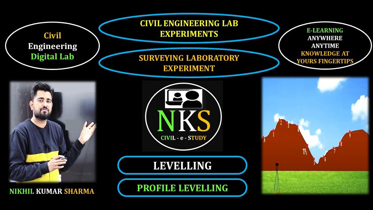
Civil Engineering/Surveying/leveling/types of leveling /Profile levelling

Video Animasi Pembelajaran Teknik Pengukuran Tanah

KLUSTERING
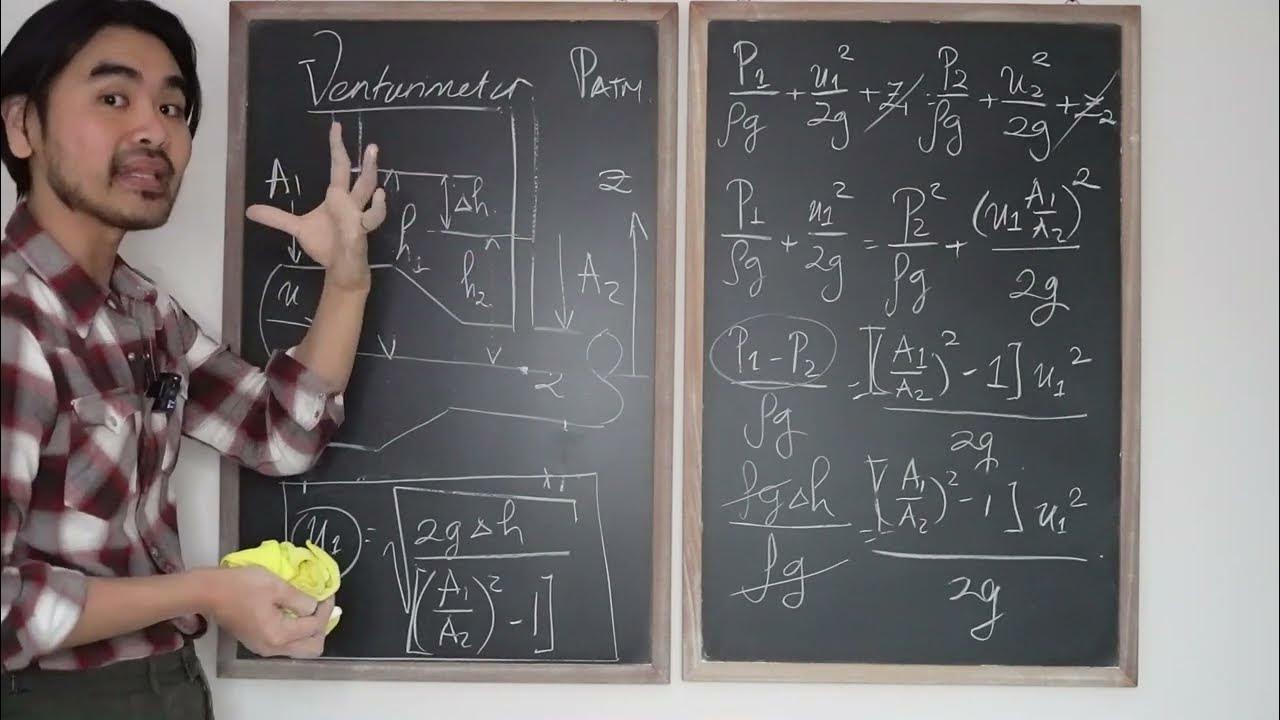
Mekanika Fluida FM01 (Lecture3: 6/8). Venturimeter - Aplikasi persamaan Bernoulli
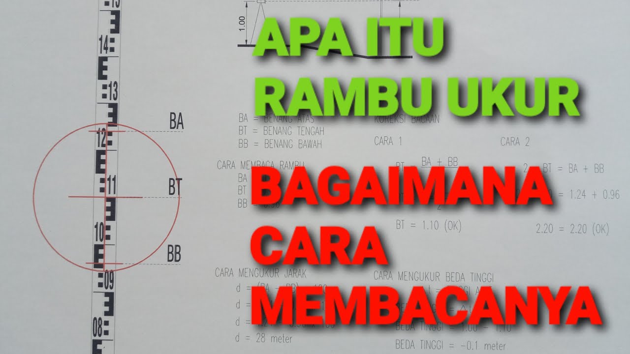
APA ITU RAMBU UKUR DAN BAGAIMANA CARA MEMBACA RAMBU UKUR SECARA MUDAH BAGI PEMULA

Genetic imprinting B.sc Zoology 5th Semester||Molecular Biology||Core-XI ||#GENETICIMPRINTING
5.0 / 5 (0 votes)