「何かが地盤を持ち上げている…異変」1000年に一度の地震のはずが【石川・能登半島地震】
Summary
TLDRThe video discusses a major 7.6 magnitude earthquake that struck the Noto peninsula area in Japan in March 2022. It provides analysis from researchers who had been studying increased seismic activity in the region in recent years. The earthquake occurred on an underwater fault line that spans about 150km, which helps explain the strength of the shaking. There is discussion of continued earthquake risk in the region going forward.
Please replace the link and try again.
Q & A
What was unusual about the ground deformation observed before the earthquake?
-The 7 cm of ground deformation was very unusual for a non-volcanic region like Noto Peninsula.
How did researchers confirm the presence of an electrically conductive region underground?
-By installing observation equipment from November 2021, they detected a red, electrically conductive region underground near where the earthquake swarm began.
What mechanism is hypothesized to have caused the Noto Peninsula earthquake?
-Researchers believe an underground fluid like water rose up, lifted the peninsula's ground, and flowed into an offshore fault, causing it to slip and trigger the strong shaking.
What was the worst-case scenario that had researchers concerned?
-That the fluid would reach and trigger the nearby underwater active fault, resulting in a magnitude 7 earthquake.
Why was the earthquake larger than expected?
-The 150 km long fault that moved was longer than expected. Noto Peninsula sits above the fault, so movement of the entire fault caused strong shaking over a wide area.
How much did parts of Wajima City uplift due to the tectonic deformation?
-Some areas uplifted by as much as 4 meters.
How has the tectonic deformation affected coastal areas?
-In some places the coast expanded by 200 meters. Fishing ports are unusable, causing issues for the recovery of the fishing industry.
What are the implications for future earthquakes in the region?
-The ends of the fault that did not slip this time have built up strain and are at higher risk. Magnitude 6+ quakes causing strong shaking are still possible.
When did a similar past earthquake happen in the region?
-In 1983, the Japan Sea Nihonkai Chubu earthquake caused devastating tsunami damage. A large aftershock then hit the northern end of the fault.
What scale of earthquakes are no longer as likely in the Noto region now?
-Magnitude 7 quakes are less likely now that strain has been released, but locally strong magnitude 6 shakes are still possible.
Outlines

This section is available to paid users only. Please upgrade to access this part.
Upgrade NowMindmap

This section is available to paid users only. Please upgrade to access this part.
Upgrade NowKeywords

This section is available to paid users only. Please upgrade to access this part.
Upgrade NowHighlights

This section is available to paid users only. Please upgrade to access this part.
Upgrade NowTranscripts

This section is available to paid users only. Please upgrade to access this part.
Upgrade NowBrowse More Related Video

BIUTIFUL! AMAZING! Ini upgrade yang saya tunggu dari Z Fold7 dan Flip7 😭

APUSH Unit 7 REVIEW (Period 7: 1890-1945)

Wi-Fi 7 Introduction vs regulatory

LES REALS WORLD ASSETS : UN NARRATIF RÉELLEMENT PLEIN DE POTENTIEL ?! - Yrile

How 5 Chords Unlock ALL Music Theory!
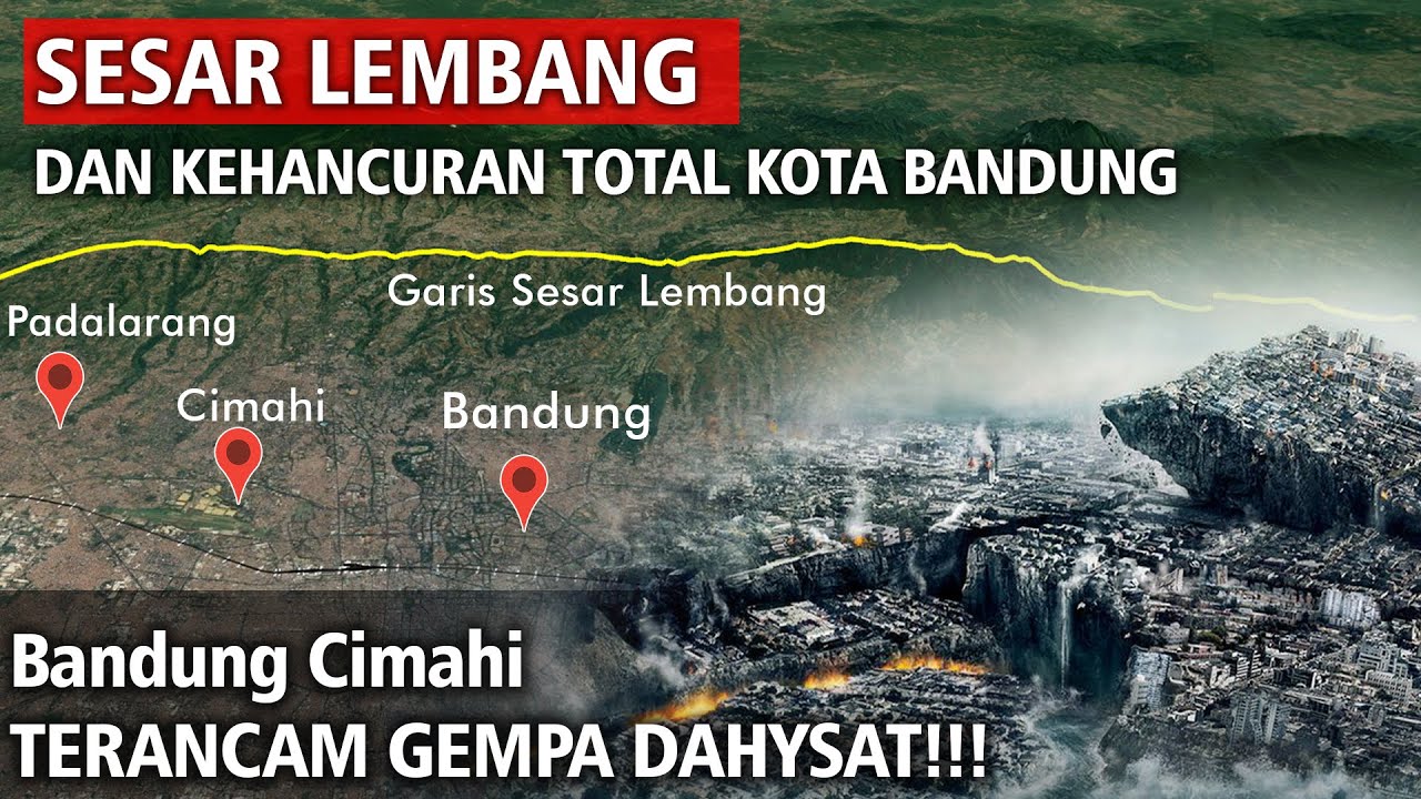
Sesar Lembang Dan Kehancuran Total Seluruh Kota Bandung

⛔️ הכל קורס: פלנטיר, סופיי, אוקלו, ארצ'ר ועוד. מה עושים?
5.0 / 5 (0 votes)