What happens when the ‘Big One’ hits Metro Manila? | Look Through: The Big One
Summary
TLDRThe video script discusses the West Valley Fault System in the Philippines, a 100-kilometer fault line that poses a significant seismic threat to densely populated areas, including Metro Manila. It references the devastating 2023 Turkey-Syria earthquake to underscore the potential for a massive quake in the Philippines, situated on the 'Ring of Fire.' The script mentions a 2004 study predicting a 7.2 magnitude quake could cause over 33,000 deaths and damage to 168,000 buildings. It emphasizes the importance of adhering to building codes, being prepared with emergency kits, and knowing evacuation routes. The narrative also touches on the challenges of predicting earthquakes and the need for updated building standards to withstand seismic activity.
Takeaways
- 🏠 The house in Barangay Tondo, Muntinlupa City, is situated near the West Valley Fault system, which poses a significant seismic risk.
- ⛔️ The West Valley Fault system is a 100-kilometer fault line that passes through densely populated areas in the Philippines, including Metro Manila.
- 🌋 The Philippines, located in the Ring of Fire, has over 150 active faults and is prone to earthquakes and volcanic activity.
- 🔍 The country monitors these faults with 116 seismic stations to track potential seismic activity.
- 📉 The term 'the Big One' refers to a potential magnitude 7.2 earthquake that could be caused by the movement of the West Valley Fault.
- 😢 A study from 2004 estimated that a magnitude 7.2 earthquake in Metro Manila could result in over 33,500 fatalities and 100,000 injuries.
- 🏗️ The National Building Code of the Philippines, adopted in 1977, sets standards for construction to withstand earthquakes, but it is over 46 years old and needs reviewing.
- 🏘️ There are calls to relocate residents living along the fault lines, but some structures were built before the fault lines were identified.
- 🆘 In the event of an earthquake, the recommended actions are to 'duck, cover, and hold' under a table or sturdy object until the shaking stops, then evacuate to an open space.
- 🌐 Earthquakes are unpredictable, and the best defense is being prepared, informed, and following safety guidelines.
Q & A
What is the significance of the house in Barangay To-Nasan, Muntinlupa City?
-The house is significant because it is one of the first houses built in the barangay and is located near the West Valley Fault system, which poses a significant seismic risk.
What event in February 2023 highlighted the dangers of earthquakes?
-A magnitude 7.8 earthquake struck Turkey and Syria in February 2023, causing massive destruction and loss of life, which serves as a stark reminder of the potential dangers of earthquakes.
Why is the Philippines considered to be at high risk for earthquakes?
-The Philippines is located in the Ring of Fire, a geological belt known for active volcanoes and frequent earthquakes, and has over 150 active faults, including the West Valley Fault system.
What is the 'big one' in the context of the West Valley Fault system?
-The 'big one' refers to a potential magnitude 7.2 earthquake that could be generated by the movement of the West Valley Fault system, which could result in significant damage and loss of life.
What are the estimated casualties and damages if the 'big one' were to occur in Metro Manila?
-A study from 2004 estimates that a magnitude 7.2 earthquake could result in the death of 33,500 people, injury to 106,000, and the collapse of around 168,000 residential buildings.
What is the current status of the West Valley Fault system in terms of movement?
-The last significant movement of the West Valley Fault system was in 1658, and based on the recurrence interval of 400 to 600 years, the next major event could be anytime between 2058 and 2258.
How does the National Building Code of the Philippines address earthquake safety?
-The National Building Code of the Philippines provides minimum standards and requirements for structures to ensure they are safe, including guidelines for earthquake-resistant construction.
What measures are being taken to monitor seismic activities in the Philippines?
-The Philippines has 116 seismic stations spread across the country that transmit data to the PHIVOLCS office in Quezon City for monitoring and analysis of earthquake activities.
What are the recommended actions for the public during an earthquake?
-The recommended actions during an earthquake are to 'duck, cover, and hold on' under a table or sturdy furniture, and once the shaking stops, to evacuate immediately to an open space.
How can residents living near the West Valley Fault system prepare for a potential earthquake?
-Residents can prepare by familiarizing themselves with earthquake hazards in their area, knowing evacuation routes, and having an emergency supply kit ready.
Outlines

This section is available to paid users only. Please upgrade to access this part.
Upgrade NowMindmap

This section is available to paid users only. Please upgrade to access this part.
Upgrade NowKeywords

This section is available to paid users only. Please upgrade to access this part.
Upgrade NowHighlights

This section is available to paid users only. Please upgrade to access this part.
Upgrade NowTranscripts

This section is available to paid users only. Please upgrade to access this part.
Upgrade NowBrowse More Related Video

Inilah 12 Segmen Sesar Aktif di Utara Jawa Bagian Barat, Bagaimana Pengaruhnya ke Jakarta?

Penjelasan Peneliti BRIN soal Ancaman Megathrust
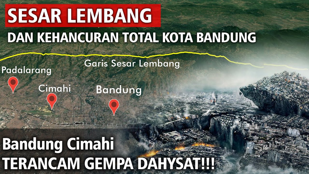
Sesar Lembang Dan Kehancuran Total Seluruh Kota Bandung

PENJELASAN!!! Bahaya SESAR LEMBANG Untuk Bandung Raya

Il rischio sismico (tratto da Il globo terreste e la sua evoluzione. ed.blu)

Earthquakes
5.0 / 5 (0 votes)