🚀 Secret Weapon Against Climate Change Just Launched!🌳 | Newsround
Summary
TLDRA satellite launched by the European Space Agency embarks on a crucial five-year mission to map global forests and measure the carbon they store. The data will help scientists understand carbon absorption and its impact on climate change. The satellite’s radar bounces signals to gather information, which is then transmitted back to Earth. The project involves a diverse team of 250 experts, and the satellite’s first comprehensive carbon map is expected within 18 months. The satellite will continue to provide valuable data to combat climate change.
Takeaways
- 🌍 The mission of the satellite is to measure carbon emissions across the world by creating a detailed map of the world's forests and the amount of carbon they store.
- 🌱 Carbon is absorbed by trees through photosynthesis, which helps reduce carbon dioxide in the atmosphere, thus playing a crucial role in combating climate change.
- 🚀 The satellite launched by the European Space Agency will gather data for five years to monitor and update scientists' knowledge about forest carbon storage.
- 🛰️ The satellite uses a radar to send signals through tree leaves to measure the carbon in the wood, which is then relayed back to Earth for analysis.
- 💡 A team of 250 people, including engineers, scientists, and technicians, worked for years to develop the satellite and its technology.
- 🌲 Forests are essential in the fight against climate change because they naturally absorb carbon dioxide, which would otherwise contribute to global warming.
- ⚙️ The satellite has a radar system that sends and receives information about the carbon stored in the wood of forests, helping scientists track changes over time.
- 📏 The model shown is much smaller than the real satellite; the actual satellite is 12 meters long, 12 times bigger than the model presented.
- ☀️ The satellite is equipped with a thermal blanket to protect it from the cold temperatures of space and keep it operational.
- 📅 In 18 months, the satellite will provide the first full map of carbon stored in the world's forests, which will be updated throughout its five-year mission.
Q & A
What is the primary mission of the new satellite?
-The primary mission of the satellite is to measure carbon emissions across the world by creating a map of the Earth's forests and the amount of carbon stored in them.
Why is it important to measure carbon in forests?
-Measuring carbon in forests is important because carbon is absorbed by trees, which helps scientists understand how much it will affect climate change and the atmosphere. It also informs strategies for mitigating climate change.
How do human activities contribute to climate change?
-Human activities, such as burning fossil fuels and industrial processes, produce carbon dioxide, which is a greenhouse gas that contributes to global warming and climate change.
How do trees help in the fight against climate change?
-Trees help fight climate change by naturally absorbing carbon dioxide through photosynthesis. By absorbing carbon, they prevent it from being released into the atmosphere, thus mitigating the effects of climate change.
How long did it take to develop the satellite?
-Developing the satellite took several years, involving a team of 250 people with diverse expertise, including engineers, scientists, and architects.
What is the role of the radar on the satellite?
-The radar on the satellite bounces down through the trees' leaves and into the wood, sending back information to the satellite about the wood's composition and the carbon stored within it.
How does the satellite send data back to Earth?
-The satellite sends photos and data back to Earth through its instruments, which are then analyzed by scientists to assess the carbon stored in the forests.
What is the actual size of the satellite compared to the model shown?
-The actual satellite is 12 meters long, which is 12 times bigger than the small model, which is only about 1 meter in length.
Why does the satellite have a thermal blanket?
-The satellite has a thermal blanket, made of gold material, to keep it warm in space. The temperatures in space can be extremely cold, so the blanket helps to maintain the satellite's temperature and protect it from freezing.
What happens after the satellite launches and begins its mission?
-Once the satellite is launched, it will orbit Earth for five years, continuously gathering data on carbon storage in forests. In the first 18 months, it will create the first complete map of carbon stored in the world's forests.
Outlines

このセクションは有料ユーザー限定です。 アクセスするには、アップグレードをお願いします。
今すぐアップグレードMindmap

このセクションは有料ユーザー限定です。 アクセスするには、アップグレードをお願いします。
今すぐアップグレードKeywords

このセクションは有料ユーザー限定です。 アクセスするには、アップグレードをお願いします。
今すぐアップグレードHighlights

このセクションは有料ユーザー限定です。 アクセスするには、アップグレードをお願いします。
今すぐアップグレードTranscripts

このセクションは有料ユーザー限定です。 アクセスするには、アップグレードをお願いします。
今すぐアップグレード関連動画をさらに表示
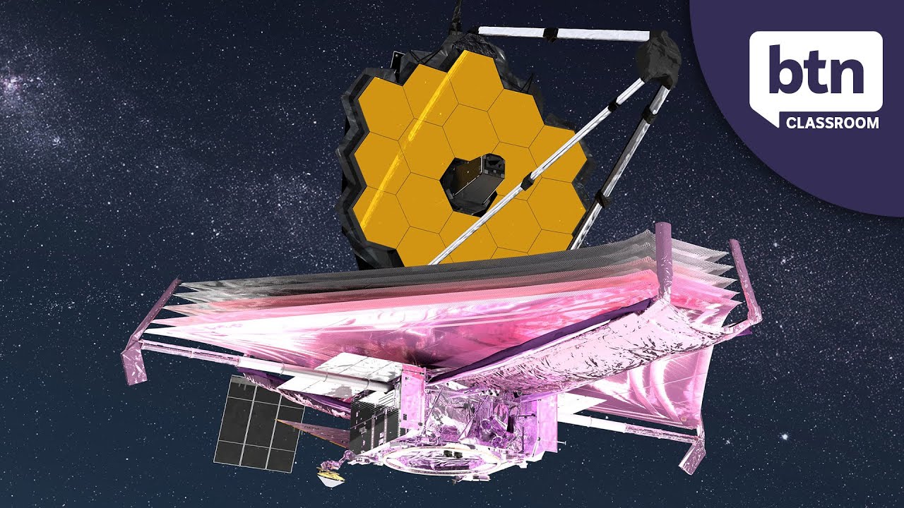
James Webb Telescope - Behind the News
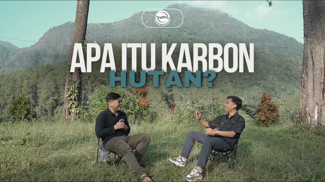
Rahasia Karbon Hutan: Solusi Ampuh Melawan Perubahan Iklim | Penjelasan Ahli
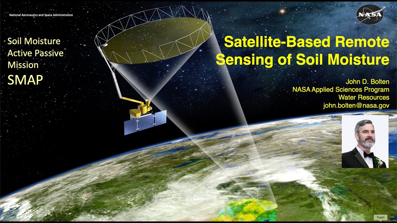
Soil Moisture 101: Satellite-based Remote Sensing of Soil Moisture

Sansad TV Special: Gaganyaan Mission | 29 February , 2024

Global Race For Electric Vehicles? | April 15, 2025
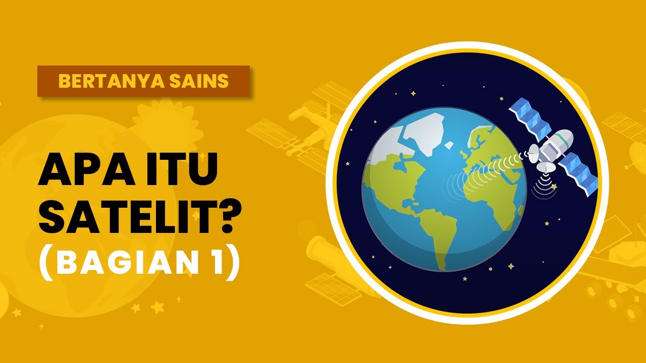
Apa itu Satelit? (Bagian 1)
5.0 / 5 (0 votes)
