Panimulang ihip ng Amihan, unti-unti nang nagpaparamdam | 24 Oras
Summary
TLDRThe video discusses weather updates in the Philippines, focusing on the transition to the Amihan (northeast monsoon) season. While the Amihan has not yet fully arrived, the northeasterly winds are being felt in Northern Luzon. A low-pressure area located 350 km west of Abukay, Bataan is not expected to develop into a typhoon but will bring rain to parts of the country. Rain is forecasted in the Ilocos Region, Cagayan Valley, Central Luzon, MIMAROPA, Western Visayas, and Northern Mindanao, with widespread rains in Luzon, Palawan, Zamboanga Peninsula, BARMM, and Davao Region.
Takeaways
- 🌬️ The 'Habagat' season has officially ended.
- 🍂 The transition to the 'Amihan' season has begun, with early signs of northeasterly winds reaching extreme Northern Luzon.
- 🌫️ The full onset of the 'Amihan' or Northeast Monsoon is yet to occur, according to PAGASA.
- 🌧️ A low-pressure area is currently 350 km west of Abucay, Bataan, within the Philippine Area of Responsibility (PAR).
- 🌀 The low-pressure area is not expected to develop into a typhoon, but it will bring rain to certain regions.
- 🌧️ Rain is expected in the Ilocos Region, Cagayan Valley, Central Luzon, MIMAROPA, Western Visayas, and Northern Mindanao in the morning.
- 🌧️ In the afternoon, more widespread rain, including heavy rainfall, will be experienced across most of Luzon, Palawan, Zamboanga Peninsula, BARMM, and Davao Region.
- 🌩️ Localized thunderstorms are expected in Metro Manila, particularly around midday or in the afternoon.
- 🌀 A typhoon outside the PAR is nearly stationary, with a low chance of entering or affecting the Philippines.
- 📊 Metro Weather data shows varying chances of rain across regions, with more intense rain forecasted in the afternoon.
Q & A
What is the current weather pattern affecting the Philippines as mentioned in the script?
-The current weather pattern affecting the Philippines is the northeasterly surface wind flow, which is starting to be felt in extreme Northern Luzon. However, the country is still in the transition period toward the Amihan (northeast monsoon) season.
What is the status of the northeast monsoon (Amihan) according to PAGASA?
-According to PAGASA, the northeast monsoon (Amihan) has not yet fully arrived, and the country is currently in the transition period toward the Amihan season.
Where is the Low Pressure Area (LPA) located as per the report?
-The Low Pressure Area (LPA) is located 350 km west of Abukay, Bataan, within the Philippine Area of Responsibility (PAR).
Is the LPA expected to intensify into a typhoon?
-No, PAGASA does not expect the LPA to intensify into a typhoon, but it will bring rains to some parts of the country.
Which areas are likely to experience rain in the morning according to the Metro Weather data?
-The areas likely to experience rain in the morning are parts of the Ilocos Region, Cagayan Valley, Central Luzon, MIMAROPA, Western Visayas, and Northern Mindanao.
What can be expected in terms of rainfall in the afternoon?
-In the afternoon, more widespread rain is expected, with heavier downpours likely over most of Luzon, Palawan, Zamboanga Peninsula, BARMM, and the Davao Region.
Will Metro Manila experience rain, and if so, when?
-Yes, Metro Manila is likely to experience localized thunderstorms, especially around midday or in the afternoon.
What is the status of the typhoon outside the Philippine Area of Responsibility (PAR)?
-The typhoon outside the Philippine Area of Responsibility (PAR) is almost stationary. Even if it moves, the likelihood of it entering the Philippines remains low.
What is the main weather phenomenon influencing the country's weather pattern during the transition period?
-The main weather phenomenon influencing the country's weather pattern during the transition period is the northeasterly surface wind flow, signaling the upcoming Amihan season.
What specific regions should prepare for strong rains and localized thunderstorms?
-Regions that should prepare for strong rains and localized thunderstorms include most parts of Luzon, Palawan, Zamboanga Peninsula, BARMM, Davao Region, and Metro Manila.
Outlines

このセクションは有料ユーザー限定です。 アクセスするには、アップグレードをお願いします。
今すぐアップグレードMindmap

このセクションは有料ユーザー限定です。 アクセスするには、アップグレードをお願いします。
今すぐアップグレードKeywords

このセクションは有料ユーザー限定です。 アクセスするには、アップグレードをお願いします。
今すぐアップグレードHighlights

このセクションは有料ユーザー限定です。 アクセスするには、アップグレードをお願いします。
今すぐアップグレードTranscripts

このセクションは有料ユーザー限定です。 アクセスするには、アップグレードをお願いします。
今すぐアップグレード関連動画をさらに表示
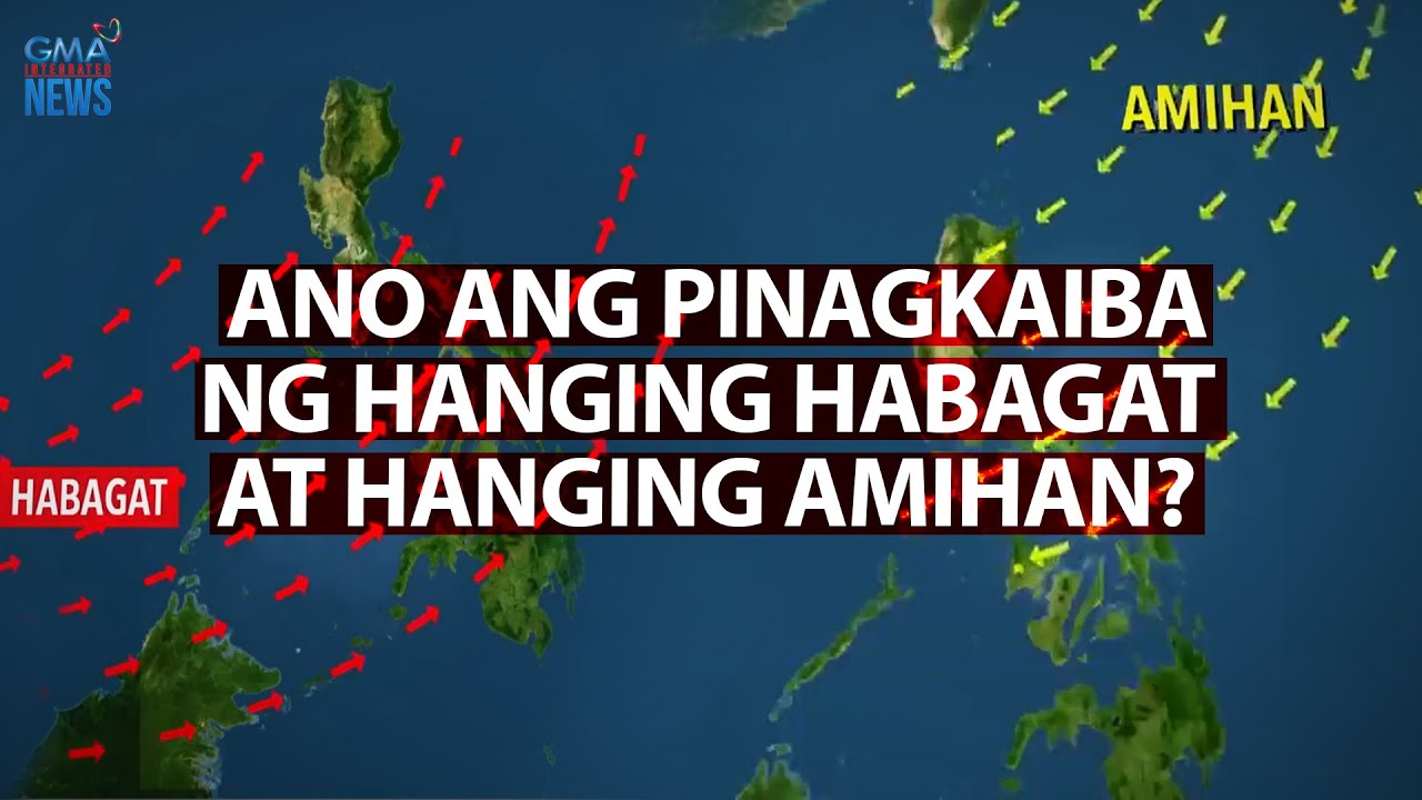
Ano ang pinagkaiba ng Hanging Habagat at Hanging Amihan? | Need to know

FACTORS AFFECTING WEATHER

La Nina Is Coming For Fall & Winter 2024/25...

Public Weather Forecast issued at 4AM | December 06, 2024 - Friday

Climate - Chapter 4 Geography NCERT class 9

Weather update as of 6AM (November 26, 2025) | Unang Balita
5.0 / 5 (0 votes)
