Geografi Daerah Aliran Sungai Brantas Dalam Menit
Summary
TLDRThe Brantas River, the longest river in East Java, plays a central role in the region's hydrology, culture, and history. Originating from the Sumber Brantas spring in Batu, the river flows across multiple cities and regencies, facing challenges like fluctuating water levels, sedimentation, and flood risks. The river's watershed area is crucial for agricultural irrigation and hydroelectric power. However, deforestation in the upper Brantas basin has significantly reduced water flow, contributing to environmental and climate changes. The area faces growing concerns about urbanization, deforestation, and the impact on local ecosystems, prompting discussions on sustainable development and environmental preservation.
Takeaways
- 😀 The Brantas River is the longest river in East Java, Indonesia, and the second longest on the island of Java after the Bengawan Solo River.
- 😀 The Brantas River flows through several cities and districts in East Java, including Batu, Malang, Blitar, Tulungagung, Kediri, Mojokerto, Surabaya, and others.
- 😀 The river's lower reaches split into two branches: Kali Porong and Kali Surabaya, which flow in different directions to reach the Madura Strait and the Sidoarjo coast.
- 😀 The Brantas River's source is in the Sumber Brantas spring, located at the foot of Gunung Arjuna and Gunung Anjasmoro, in Batu City, at an altitude of 1800 meters above sea level.
- 😀 The Brantas River's watershed (DAS) covers an area of 189,000 hectares, roughly a quarter of East Java's total area, and includes 16 districts and cities.
- 😀 The Brantas River has faced historical flooding issues, with significant events documented during the reign of King Airlangga, who ordered the construction of the Waringin Sapta dam to control flooding.
- 😀 Fluctuating water flow and high sedimentation levels have been persistent problems for the Brantas River, exacerbated by volcanic activity from Mount Kelut.
- 😀 The river's flood issues in the south of Tulungagung led to the construction of the Niyama tunnel during the Japanese occupation, with the goal of redirecting excess water to prevent floods.
- 😀 The Brantas River's infrastructure includes several reservoirs, such as the Sutami, Lahor, Selorejo, and Wingi dams, built to control water flow, generate electricity, and provide irrigation.
- 😀 Deforestation in the upper reaches of the Brantas River, particularly around Batu City, has led to the loss of many springs, reduced water flow, and increased flooding, making environmental management a crucial concern.
- 😀 Local agricultural practices in Batu have shifted due to changing climate conditions, with apple farming struggling due to warmer temperatures, leading some farmers to switch to citrus and other crops.
Q & A
What is the Brantas River known for in East Java?
-The Brantas River is the longest river in East Java and the second-longest in Java Island, after the Bengawan Solo River. It flows through several cities and regencies in East Java, providing vital water resources for the region.
How long is the Brantas River and where does it originate?
-The Brantas River flows approximately 320 km, originating in Desa Sumber Brantas, Kecamatan Bumiaji, Kota Batu, at an elevation of around 1800 meters above sea level, nestled between the Arjuna-Welirang and Anjasmoro mountain ranges.
How does the Brantas River split as it flows downstream?
-At its downstream, the Brantas River splits into two branches: Kali Porong and Kali Surabaya. Kali Surabaya extends northeast for 41 km and ultimately empties into the Madura Strait, while Kali Porong flows east for 40 km, draining into the Sidoarjo coastline.
What is the significance of the Brantas River in terms of hydrology?
-The Brantas River has a vast catchment area, covering about 189,000 hectares, or a quarter of East Java's total land area. It serves as the lifeline for agriculture and local communities, while also being a key part of a complex hydrological system involving numerous tributaries and springs.
What historical measures were taken to manage flooding in the Brantas River?
-Historically, the Brantas River has been prone to flooding. In the 11th century, King Airlangga of the Kahuripan kingdom ordered the construction of the Waringin Sapta dam to mitigate flooding. Additionally, flood management infrastructure like the Niyama Tunnel was developed during the Japanese occupation to control floods in Tulungagung.
What is the current issue faced by the Brantas River related to sedimentation?
-The Brantas River faces significant sedimentation problems, especially due to the activity of Mount Kelut. The high sedimentation levels have led to frequent flooding, which impacts the river’s flow and the surrounding areas, creating challenges for flood management and water usage.
What infrastructure has been developed along the Brantas River for water management?
-Several dams and reservoirs have been built along the Brantas River, such as the Sutami Dam, Lahor Dam, and Selorejo Dam. These structures are crucial for water supply, irrigation, and hydropower generation, as well as controlling floods and sedimentation.
How has deforestation affected the Brantas River’s watershed?
-Deforestation, particularly in the upper reaches of the Brantas River in Kota Batu, has significantly impacted the watershed. It has caused a loss of water sources, with many springs disappearing, and has contributed to a decrease in the water discharge from the Brantas River.
What is the role of local policies in the deforestation issue in the Brantas River area?
-The decentralization of authority post-Reformation has allowed local governments more control over land use. However, this has led to overexploitation of land resources, including massive deforestation for agriculture and urban development, which exacerbates environmental issues in the Brantas River region.
What environmental changes have occurred in Kota Batu due to land use changes?
-Kota Batu has experienced a local climate change due to extensive land use changes. The temperature has risen, impacting the agriculture, particularly the apple farming industry. Apples, which thrive in cool climates, are being replaced with crops like oranges and jambu kristal (crystal guava).
Outlines

هذا القسم متوفر فقط للمشتركين. يرجى الترقية للوصول إلى هذه الميزة.
قم بالترقية الآنMindmap

هذا القسم متوفر فقط للمشتركين. يرجى الترقية للوصول إلى هذه الميزة.
قم بالترقية الآنKeywords

هذا القسم متوفر فقط للمشتركين. يرجى الترقية للوصول إلى هذه الميزة.
قم بالترقية الآنHighlights

هذا القسم متوفر فقط للمشتركين. يرجى الترقية للوصول إلى هذه الميزة.
قم بالترقية الآنTranscripts

هذا القسم متوفر فقط للمشتركين. يرجى الترقية للوصول إلى هذه الميزة.
قم بالترقية الآنتصفح المزيد من مقاطع الفيديو ذات الصلة

REVOLUSI POPOK - Ekspedisi 3 Sungai #01
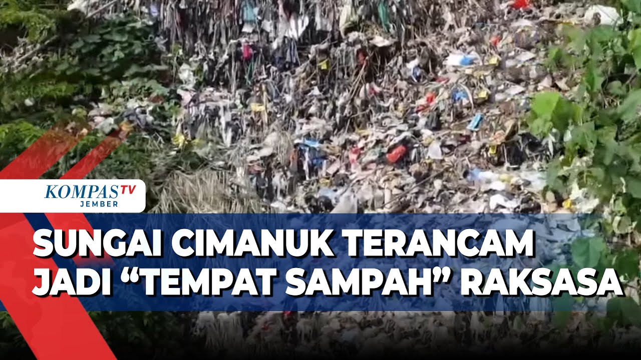
Aksi Nyata! Aktivis Lingkungan Gelar Ekspedisi Selamatkan Sungai Cimanuk dari Sampah!

SEJARAH KERAJAAN KEDIRI

Bangkal Temple, Treasures of Brantas River, & Revival of East Java History

Menjadi tempat lahirnya peradaban dunia, Inilah Fakta dari Negara Mesir
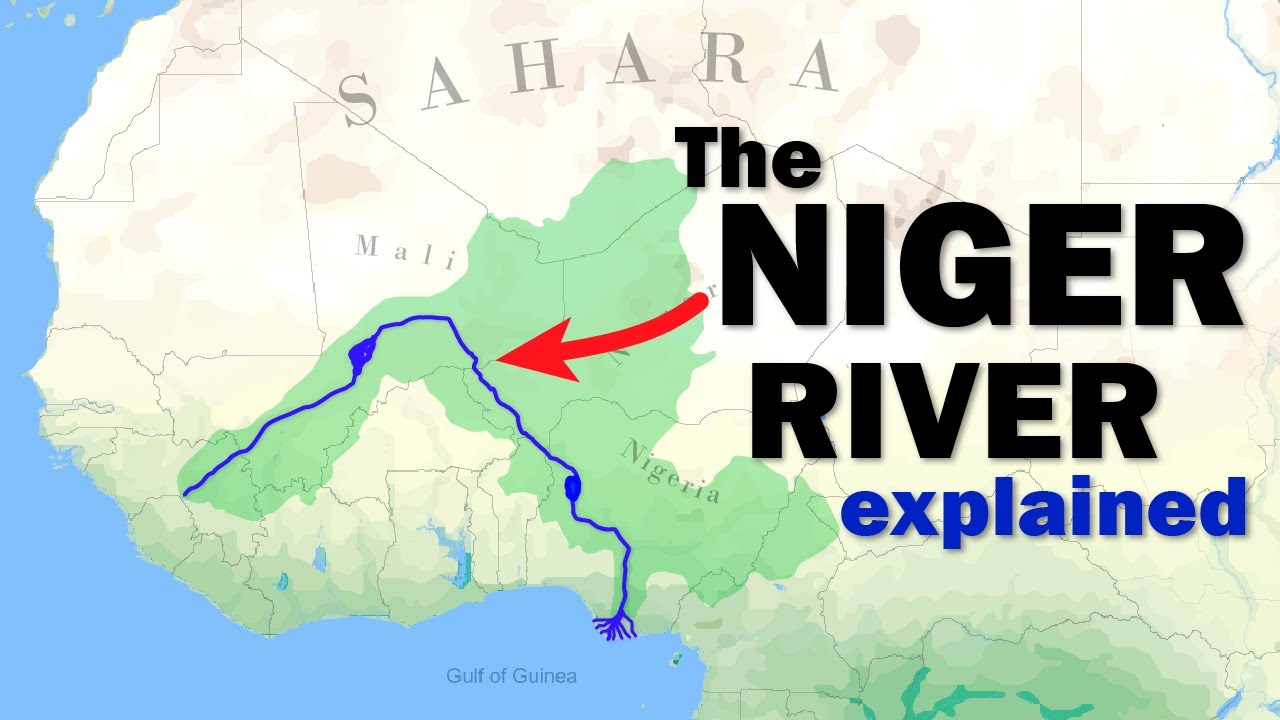
The Niger River explained in under 3 minutes
5.0 / 5 (0 votes)
